Logierait Hill occupies a prominent position above the meeting point of the rivers Tay and Tummel. The A9 and the railway north to Inverness skirt below its slopes.
But, despite being so obvious and accessible, it is a spot I had long overlooked, until I found myself motoring along the back road between Logierait and Pitlochry.
Pulling off the country lane on to an initially rather unpromising forest track, I found a small parking area and an information board offering a choice of waymarked walks.
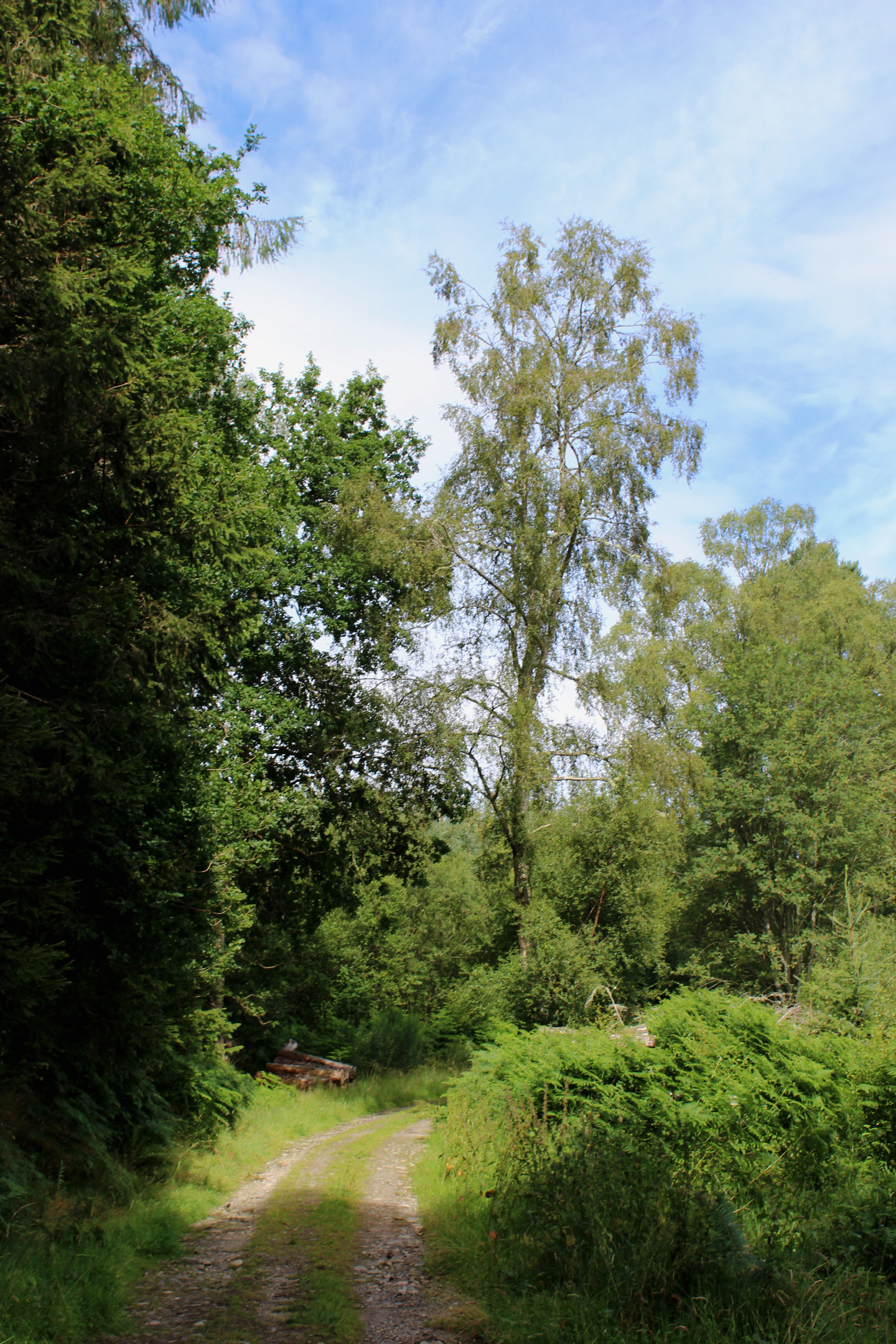
Opting for the longer Top of the Hill Trail, I laced up my boots and set off into Logierait Wood, a mixed plantation carpeting the eastern flank of the hill.
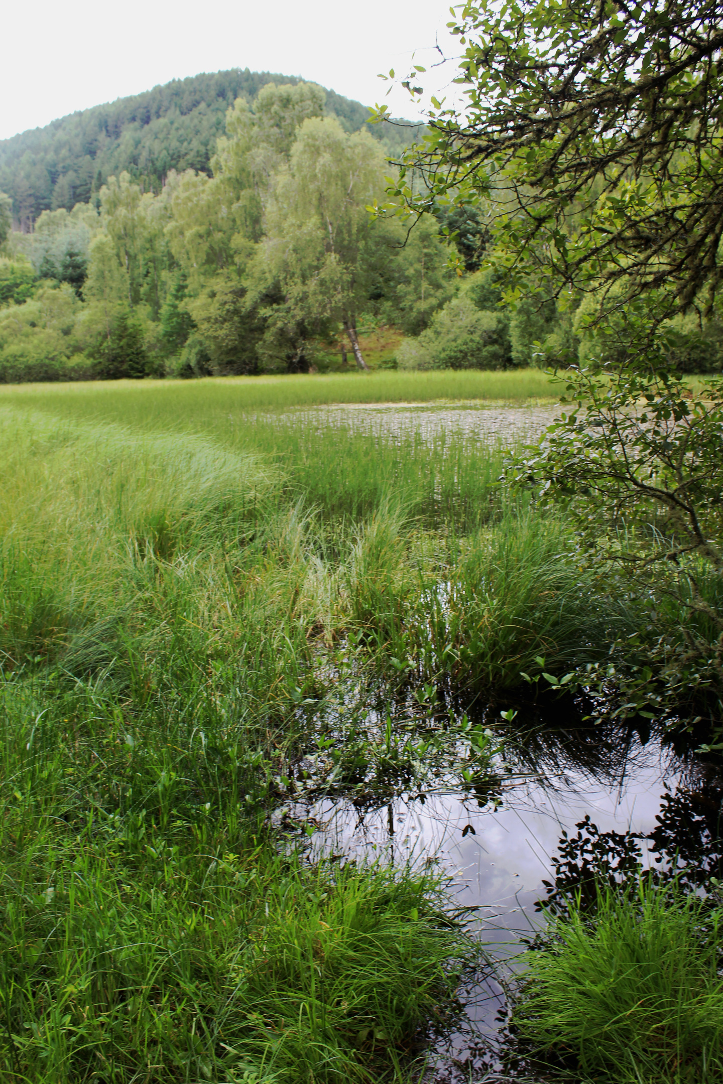
A good track led me north to a small, reedy pool – a former curling pond. The ruin of a hut – now little more than a stone chimney stack and collapsed roof – in the trees suggested it has been a good many years since stones were last cast out over ice here.
Nestled in a hollow surrounded by natural woodland, the pond now attracts a variety of insect life, including dragonfly and both common and rarer species of the more delicate damselfly. With its marshy fringes, the pool is, according to Scottish Natural Heritage, one of the best sites in the country for the northern damselfly.
Beyond this secluded stretch of water, the track forks, the way skirting the lower edge of the plantation, bordering farmland below, before the waymarked trail branches left, under some rather precariously perched boulders.
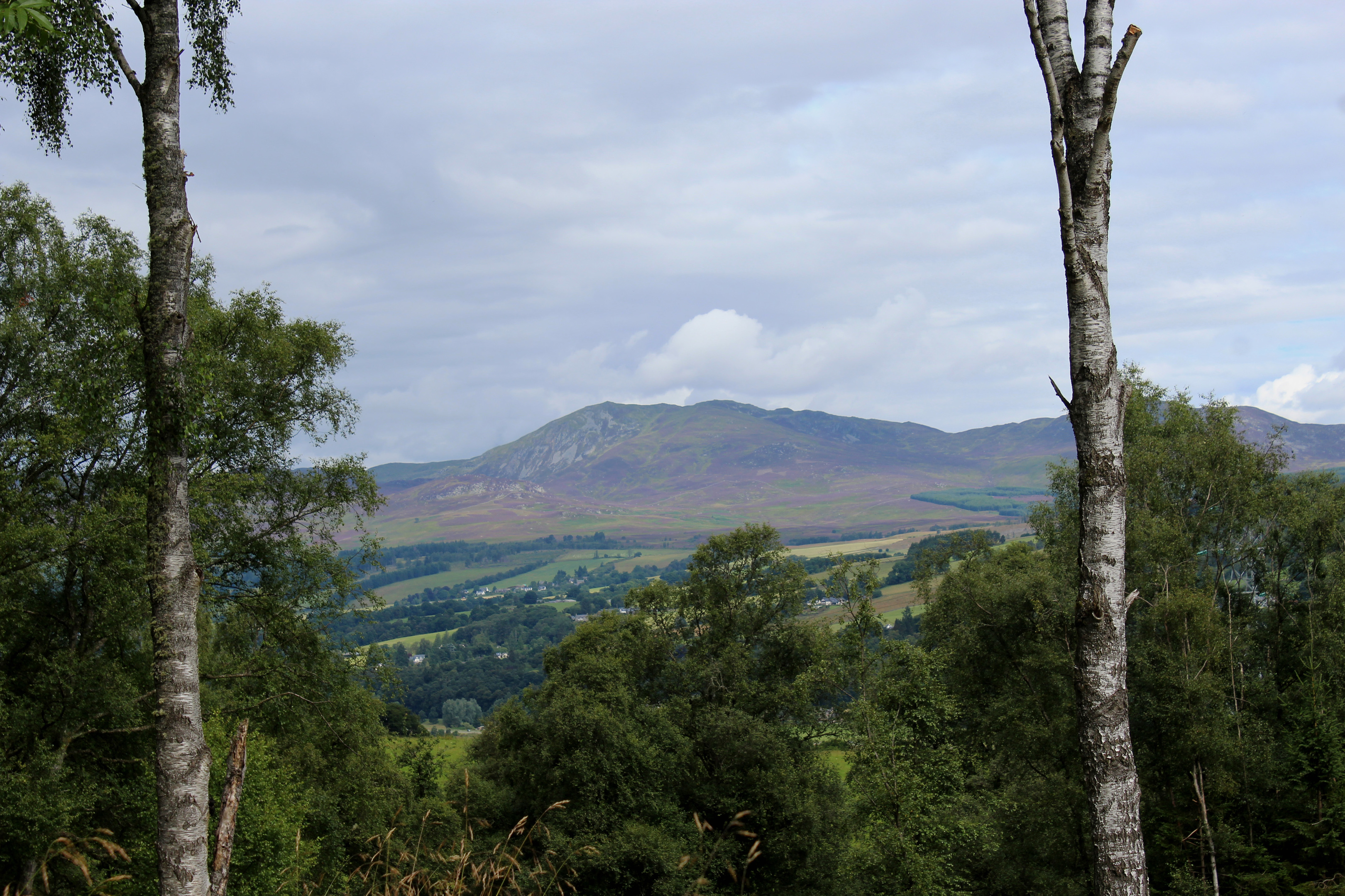
Here the route begins to climb, a long, well-graded incline rising over the eastern slope of the hill. There is mature forestry to the left but felled ground to the right has been left to regenerate naturally and, for now at any rate, there are excellent views across the valley of the River Tummel and north to Pitlochry and the unmistakable form of Ben Vrackie.
Devouring wild raspberries growing by the track, both berries and the vista of Vrackie soon disappeared as I entered regimented rows of Sitka spruce and larch, rays of dappled sunlight somehow managing to penetrate the needles to illuminate a corridor through the commercial timber.
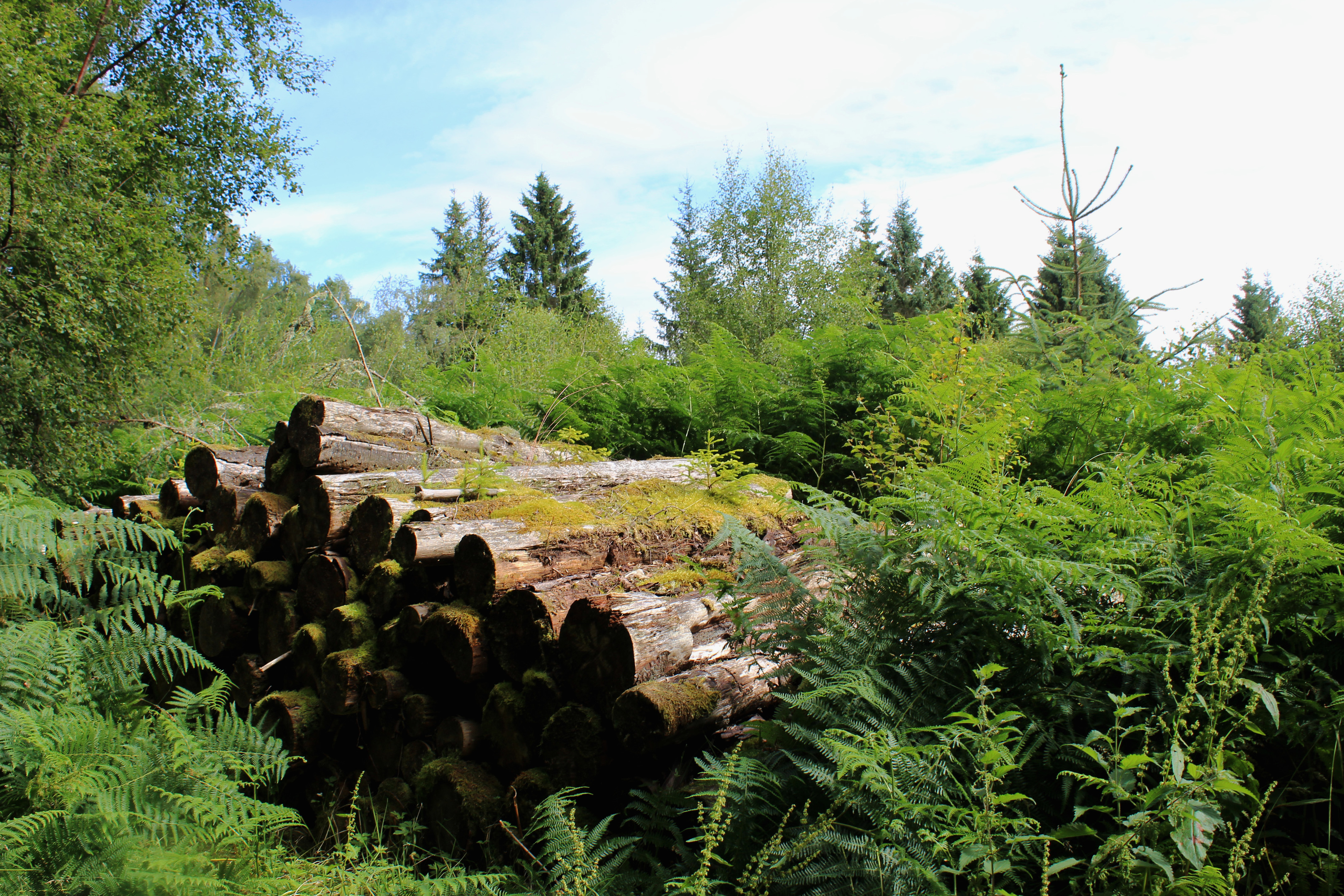
Part of Atholl Estates, Logierait Wood is a working forest. But while some tree species, such as the Sitka spruce, are harvested, others, like the grand old Scots pines planted over a century ago, escape the chainsaw, enhancing the landscape and providing a haven for wildlife such as the red squirrel.
At the top of the track, I turned south, wandering beneath brooding crags and mossy boulders, the trail meandering through tall, slender Norway spruce, a clearing offering a brief sliver of light before I was engulfed once again by the trees.
At the next junction, the waymarked trail descends left. However, an optional detour right follows the track up to an old wooden stile on the western edge of the plantation. Cross the wire here, bear left and the fence leads up to the summit of Logierait Hill, a small cairn flanked by Scots pines marking the top.
Heading down the waymarked track, I branched left below a gap in an old wall and began to descend more steeply, the track dropping to re-join the outward route, the short walk back to the car park offering a second opportunity to spot dragonfly and damselfly hovering over the old curling pond.
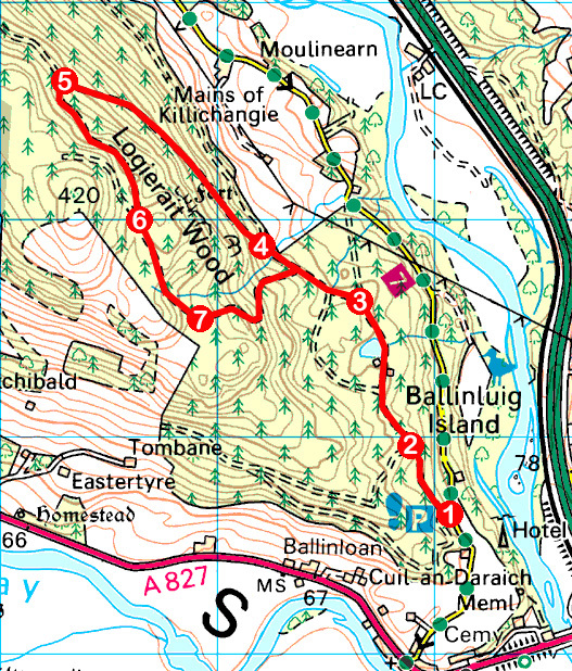
ROUTE
1. From information board at top of car park, enter forest at metal barrier gate and follow track north.
2. Ignore track branching left and continue north, passing former curling pond on left.
3. Where track forks, go left. Ignore two tracks branching left and continue to next junction.
4. Branch left, ascending grassy track.
5. Turn left and follow track south.
6. Turn left, descending south on track.
7. At junction beyond gap in stone wall, turn left, descending increasingly steeply to meet outward route. Turn right and retrace steps past former curling pond back to car park.
INFORMATION
Distance: 6.4km/4 miles
Ascent: 280m/920ft
Time: 2 hours
Grading: Moderate forest walk following waymarked tracks with a long but well graded ascent and a fairly steep section of descent. Stout footwear recommended
Start/finish: Logierait Wood car park, 800m north of Logierait on minor road to Pitlochry (Grid ref: NN 970526)
Map: Ordnance Survey 1:50,000 Landranger sheet 52; Ordnance Survey 1:25,000 Explorer sheet OL49
Tourist Information: Pitlochry Information Centre, 22 Atholl Road, Pitlochry PH16 5BX (Tel 01796 472751)
Public transport: Stagecoach bus service 23, linking Perth and Aberfeldy, stops in Logierait


