Badandun Hill, Glen Isla, Angus
For those who don’t walk the high mountains in winter, March is the ideal time to get the hill legs going again, when the snows have shifted and spring is starting to make its presence felt.
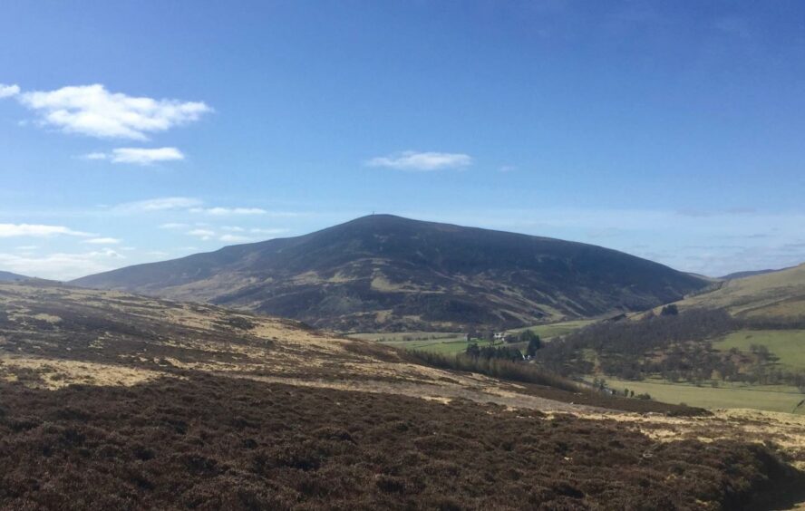
Rounded Badandun Hill is a perfect candidate for that first ascent, a network of moorland tracks making navigation simple and taking some of the strain and pain out of the uphill effort. The only niggle is that the route spreads somewhat annoyingly over two maps.
The approach from Glen Isla allows a circular circuit over two fine summit viewpoints followed by a delightful return north along the run of the River Isla.
The starting point is the entrance to the track leading to the cottage at Fergus where a grassy area provides good space for parking. This is located just beyond the phone box at Delnamer on the right of the minor road up Glen Isla.
The track crosses the river then swings round the keeper’s cottage and up through the trees to emerge on more open ground with expansive views, especially back to the familiar conical shape of Mount Blair. It then takes a gently angled rise along with the rushing Fergus Burn towards Craig Lair, a heather-clad top with some tidy rock outcrops which is well worth the very short diversion off the main track.
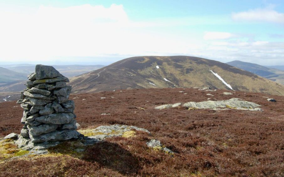
Craig Lair is crowned with a fine cairn and blessed with a comprehensive line of sight rolling round most of the Angus high points. The other huge plus point is that suddenly Badandun Hill doesn’t look too far away across the intervening gap.
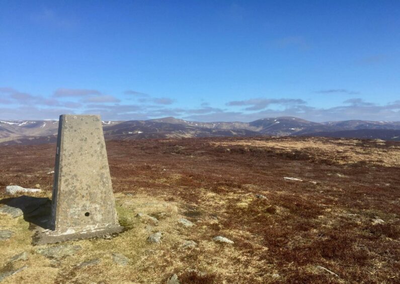
Dropping back to the main drag, there’s a sharper ascent which doesn’t last too long and leads to a split in the track; the right-hand and slightly rougher branch heads quickly to the trig pillar marking the summit. There is also a cairn nearby, and again the views all round are unencumbered.
Badandun likely means spot (or tuft) of the hill-fort, from the Gaelic bad an dun. In the late 1700s it appeared on maps as Baldendeen. There is also a more obscure suggestion that it could have meant ‘mount of the little boar’.
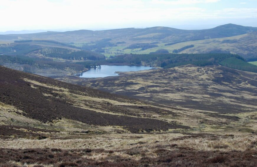
The track wends its way south-east through peat bogs at first then down more grassy slopes to link with the incoming Cateran Trail, the blue patch of Auchintaple Loch always in the eyeline ahead.
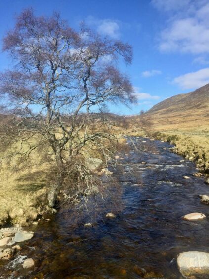
Once down on the road at Bridge of Forter, with the bulk of Duchray Hill towering above, a gate beside the beautiful old stone bridge gives access to a track running north through fields by the river.
There are often cattle grazing here, and at times they may form a blockade. You can drop down an embankment to the left, however, sticking closer to the water to avoid any bovine stand-offs.
The track onward is muddy and heavily rutted in places for a while and there are a few gates to go through but the scenery keeps drawing the eyes north into the depths of the glen.
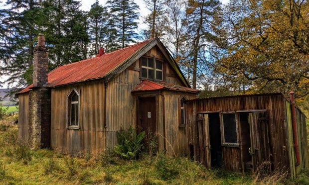
After passing some ruins, keep your eye out for the rhinoceros, a curious assembly of rocks lying in the middle of a field of grazing sheep. I must admit I thought at first I was hallucinating with the unexpected heat of the late winter sun.
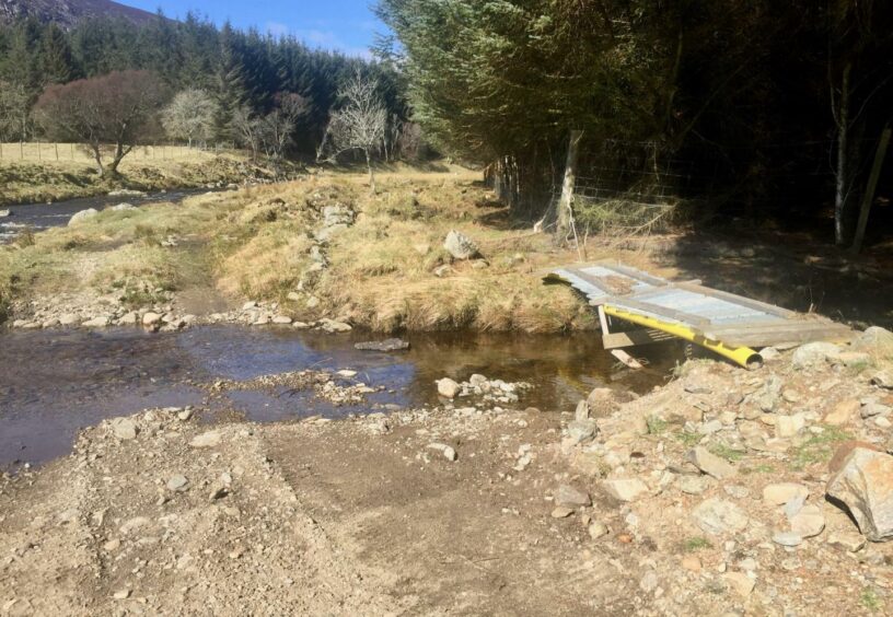
Near the end of the track there is a signed diversion which points you left and back down to the water, a rough path along the side of the trees and over a D-I-Y ‘bridge’ before you reach the sturdier version you crossed earlier in the day.
It seemed a shame to curtail the journey north and head back to the car, but the sparkling waters of the Isla snaking away to the distant horizon and the delights of the heights beyond were a temptation I had to resist.
ROUTE
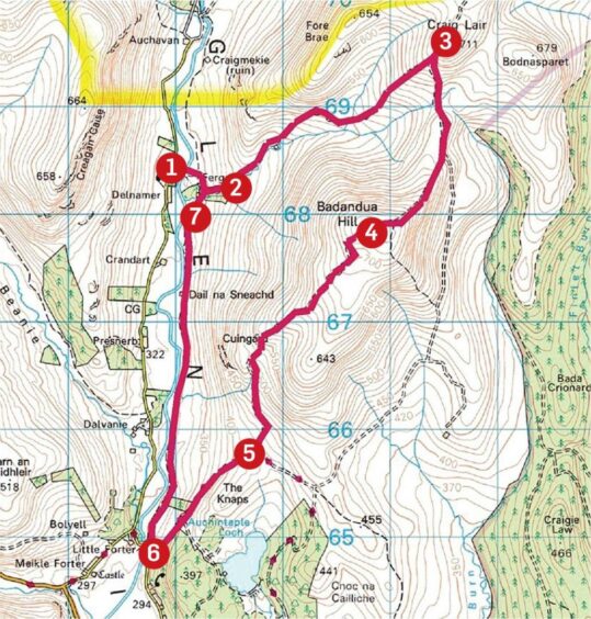
1. Take track east from parking, cross bridge over River Isla and keep following track as it swings right past cottage at Fergus then turns uphill to left into trees and on to open hillside.
2. Stay with the track as it rises along the line of the Fergus Burn towards the top of Craig Lair. A heather path going off left leads to the summit.
3. Drop off top to regain track heading south and at junction take right-hand branch to summit trig point on Badandun Hill.
4. Descend south on rough track cutting through peat hags then grassier area further down to link with Cateran Trail track (signed).
5. Turn right (with Auchintaple Loch on your left) and follow track down to road at Bridge of Forter.
6. Go through pedestrian gate on right-hand side of bridge and pick up track running alongside river for some 3km to reach track split (signed).
7. Take left branch beside wood to reach bridge over Isla and cross back to parking.
INFORMATION
Distance: 14km/8.75miles
Ascent: 590m/1935ft
Time: 4-6 hours
Grading: Steady ascents mainly on estate tracks and hill paths, suitable for well-equipped walkers with reasonable level of fitness and navigation skills. Some rougher ground and boggy sections, good footwear essential. Dogs under close control for farm livestock and ground nesting birds.
Start/finish: Entrance track to Fergus in Glen Isla (Grid ref: NO 190684), parking on grass area on right short distance past phone box at Delnamer.
Map: Ordnance Survey 1:50,000 Landranger Maps 43 (Braemar & Blair Atholl) and 44 (Ballater & Glen Clova); Ordnance Survey 1:25,000 Explorer sheet 54.
Tourist Information: VisitScotland, Dundee iCentre, 16 City Square, Dundee DD1 3BG (Tel 01382 527527)
Public transport: None.
INSERT FOR P&J
Tourist Information: VisitScotland, Ballater iCentre, Station Square, Ballater, AB35 5QB (Tel 01339 755306).
