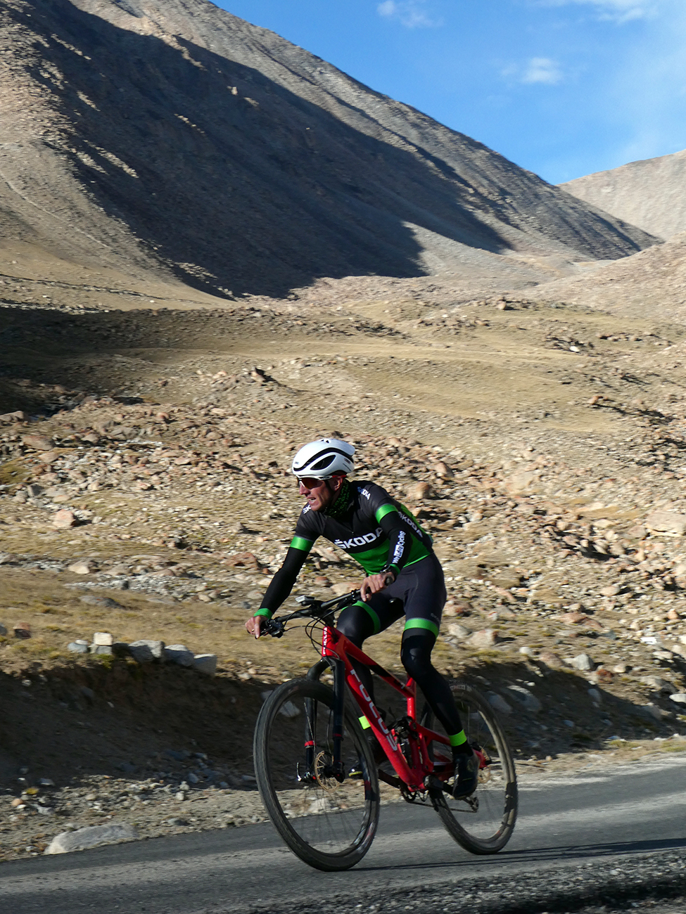
As you ascend a mountain the air becomes less compressed and thinner, making it harder to breathe. At 5,359 metres above sea level the air pressure is 50% less than at sea level, which makes breathing even more difficult – not exactly prime conditions for cycling uphill.
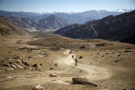
In 2012 Christoph Kluge cycled up to Khardung La in the Himalaya, setting a speed record on one of the highest in roads in the world. Starting at 3,500m above sea level the road climbs for 1,800m over 40km of tarmac and dirt track. His time of 3:04:06 was the target for a Skoda-sponsored race at the end of 2017 where four riders were chosen to try and beat Kluge’s time.
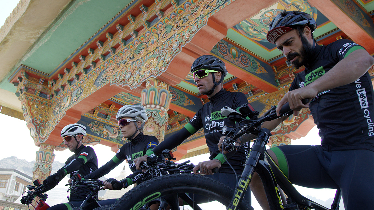
The eventual winner, Bartosz Huzarski, managed to beat the time by 27 minutes and 50 seconds, with Eva Lindskog and Andrea Schilirò also breaking the record. The fourth rider, Valentiní Sanjuan, almost didn’t make it – at one point he had to stop and use an oxygen mask. Shortly before the event he had ended up in hospital, injured after completing 10 Ironman races in 10 days.
The grit and determination he showed to complete the Ironman events pushed him onwards and despite finishing outside the time limit, he made it to the top.
In Europe, the highest roads are the Pico de Veleta (3,380m) and the road to the Institut de Radioastronomie Millimétrique (IRAM 2845m), both on the same slopes in the Sierra Nevada in Spain. In third place is the Ötztal Glacier Road in Austria (2830m).
However, as these roads are dead ends the French like to claim they can lay claim to having the highest paved pass in Europe, ie a road that continues over to the other side, rather than terminating at the summit. Even this causes arguments. The Col de Iseran (2764m) is actually the highest paved pass in Europe, the next being the Col de la Bonette at 2,715m. However, an extra loop was built on the Bonette – the Cime de la Bonette (2,802m); it caused consternation from cyclists and residents of the Iseran valley who claimed it couldn’t be called a pass as it’s an extra loop, rather than an official col. All these figures, dead ends and rationales prove that cyclists (and the French) like a good argument about mountains.
In Scotland we don’t have anything that gets remotely close to those kind of altitudes, but we do still have some impressive climbs that can be done by bike. The Bealach na Ba is one that doesn’t really need any introduction. It may not be the highest but, rising from sea-level for 9.1 km it does offer the longest road climb in the UK and some spectacular scenery.
Closer to Courier Country the Cairnwell Pass, rising up from the Spittal of Glenshee, is the highest A-road in the UK. It climbs for 8.1km to a height of 670 metres at the ski station and then, to top it off, has a great descent down the other side to Braemar. The gold medal for the highest tarmac road in Scotland however goes to Lowther Hill. The main part of the climb heads over the Mennock Pass, but cyclists are able to continue on the restricted road to the “golf-ball” radar station at the summit of Lowther Hill. From Wanlockhead the climb is only 3.8km, but it will take you to 731 metres above sea level.
Join the Blazing Saddles Strava Club at: www.strava.com/clubs/BlazingSaddlesWeekendCourier
Where to ride: The Mennock Pass and Lowther Hill
Start: B797, Mennock, Dumfries and Galloway
Distance: 16km from Mennock.
Details: Starting just outside Mennock the B797 leaves the busy A76 and heads up towards Wanlockhead> At Wanlockhead keep right, signposted “Leadhills” then just as you leave the village “limit” signs look out for the road on your right that takes you up to the radar station.


