Today rail travellers can catch a train from Leuchars to Dundee, in the north, or Edinburgh, in the south. Up until 1956, however, it was possible to ride the rails to Tayport on a line that pre-dated the current route from Leuchars to the Tay Bridge.
Stripped of its tracks, the abandoned line is now consigned to boot traffic, the first leg of a scenic journey through farmland and forestry.
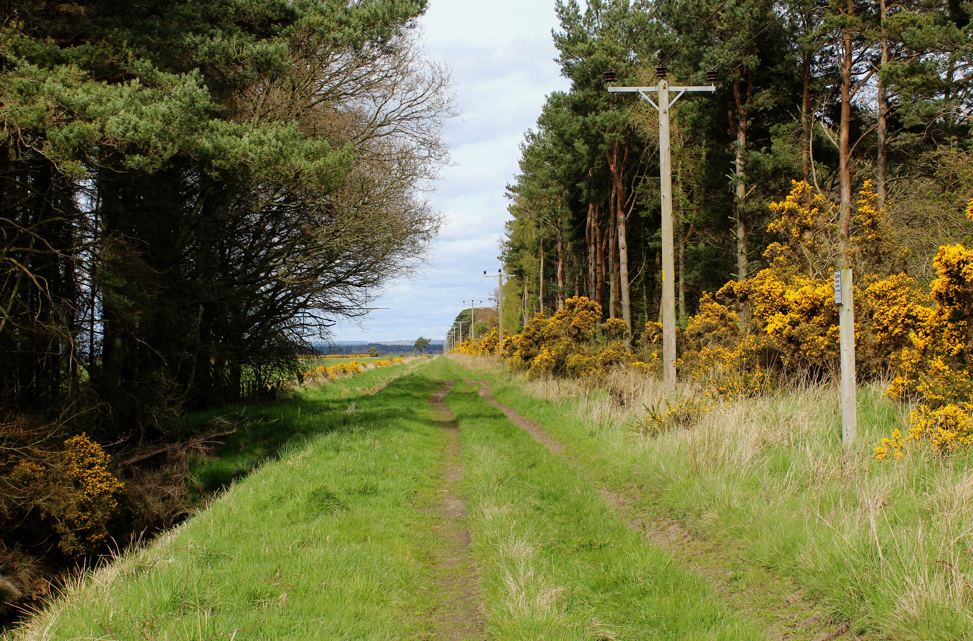
I stepped aboard at the roundabout in the centre of town where a gravel track runs by the Commercial Arms to a wooden gate beyond which open country beckons.
The former railway stretches ahead, cutting a grassy course between fields and bands of pine and larch, accompanied on its way by a parallel drainage channel where Mallard ducks oft shelter.
To the left, an unusually ornate 17th century dovecot stands in one of the fields of Leuchars Castle Farm while the site of the castle itself, Castle Knowe Motte, is clearly defined, an oval mound rising from cultivated ground.
Originally circled by a moat and dating from the 12th century, the stronghold was occupied until at least the mid-16th century. What remained of the historic structure was demolished in the early 19th century.
With the sun shining and Red Admiral and Peacock butterflies touching down briefly on dandelions in front of me, I steamed ahead slowly.
The railway to Tayport opened in 1850, part of a vital link between ferries on the estuaries of the Tay and Forth. It survived the building of bridges on both rivers and while the line closed in 1956, Tayport retained a passenger station until 1966, on the branch from Wormit.
I stayed on track only as far as the first road crossing where I alighted and walked west on the slim strip of asphalt to Craigie where a gravel track guided me by Red Row Cottages and Fordel to St Michael’s Wood.
It is an airy plantation of pine, well used by horse-riders if the profusion of wooden jumps scattered amongst the trees is anything to go by.
Branching right early on and ignoring occasional arrows pinned to trees (these are for riders rather than walkers), I trotted on.
Part-way through the plantation, where the track swings right to negotiate a mound, a path continues ahead, passing an old metal tank on the left, and the pair are soon reunited for the final stretch to St Michael’s.
The focal point of the hamlet, sitting on a crossroads, is its long established coaching inn, a welcome refreshment stop for travellers, whether on foot, horseback or, more commonly, car.
Too good an opportunity to pass up, I popped in for a swift rejuvenator before hitting the road, this time the A914, which passes under the modern day railway.
The pavement offers safe passage to a cluster of houses at Burnside where a track branches left, running alongside Motray Water before curving up to a gate where a footpath ascends by woodland to St Michael’s Golf Club.
Sticking close to a band of woodland and then a strip of younger pines, waymarkers offer a route across the course, although care should be taken to avoid interrupting play.
Safely over the fairways and greens, I met up with the railway for the final leg of my journey to Leuchars.
Route
- Follow School Hill west to Main Street and continue to roundabout.
- Turn right at Commercial Arms on gravel track to wooden gate then continue north on path, following line of former railway.
- Turn left and walk west to Craigie on minor road.
- Continue ahead on track, passing Red Row Cottages, to Fordel. Pass between cottage and derelict building to enter St Michael’s Wood beyond.
- Branch right at junction and follow track south-west through woodland.
- Turn left and follow B945 to St Michael’s Inn. Cross A919 and follow A914 south to Burnside.
- Turn left on track signed for Leuchars, passing houses, to join signed footpath at wooden gate. Bear right, ascending path by fence to golf course.
- Follow purple and green arrow posts across course to meet track running parallel with railway past clubhouse to bridge over line.
- Turn right and follow A919 into Leuchars.
Information
Distance: 8km/5 miles
Ascent: 75m/250ft
Time: 2 hours
Grading: Moderate low level walk following paths, tracks and minor road across open country and through woodland. Keep dogs under close control to protect wildlife
Start/finish: St Athernase Church, Leuchars (Grid ref: NO 455213). Parking available behind church on School Hill.
Map: Ordnance Survey 1:50,000 Landranger sheet 59; Ordnance Survey 1:25,000 Explorer sheet 371
Tourist Information: St Andrews Information Centre, 70 Market Street, St Andrews KY16 9NU (Tel 01334 472021)
Public transport: Stagecoach bus service 99 links Leuchars with Dundee and St Andrews. Leuchars rail station is 1km from start point


