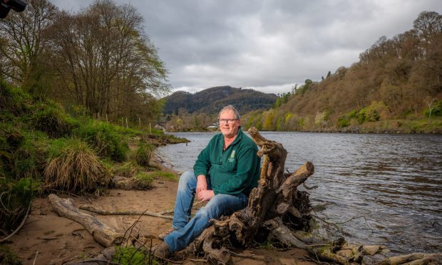
Auchtermuchty is one of the few burghs in Fife to retain its common grazing grounds, a swathe of grassland and meadow above the town where wildflowers and wildlife proliferate during the summer months.
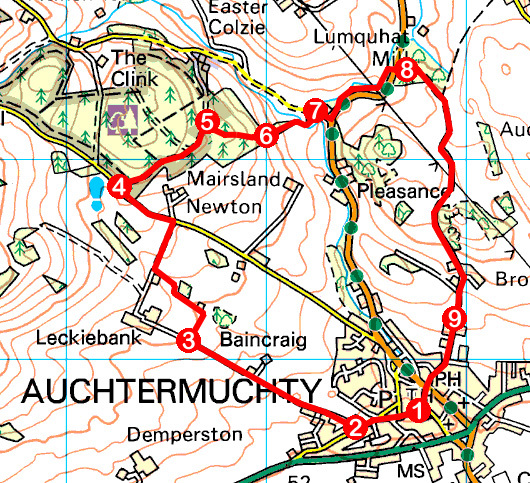
My route there began in the central market place, near the old town hall, and from the adjacent war memorial, I walked west along High Street, passing Tannochbrae Tearoom, a reminder of the days when Auchtermuchty was the setting for STV’s re-make of the popular Dr Finlay’s Casebook drama.
Continuing by shops on to High Road, I soon branched on to Leckiebank Road, a long, arrow-straight tree-lined lane that leaves town and rises through agricultural land to Leckiebank Farm.
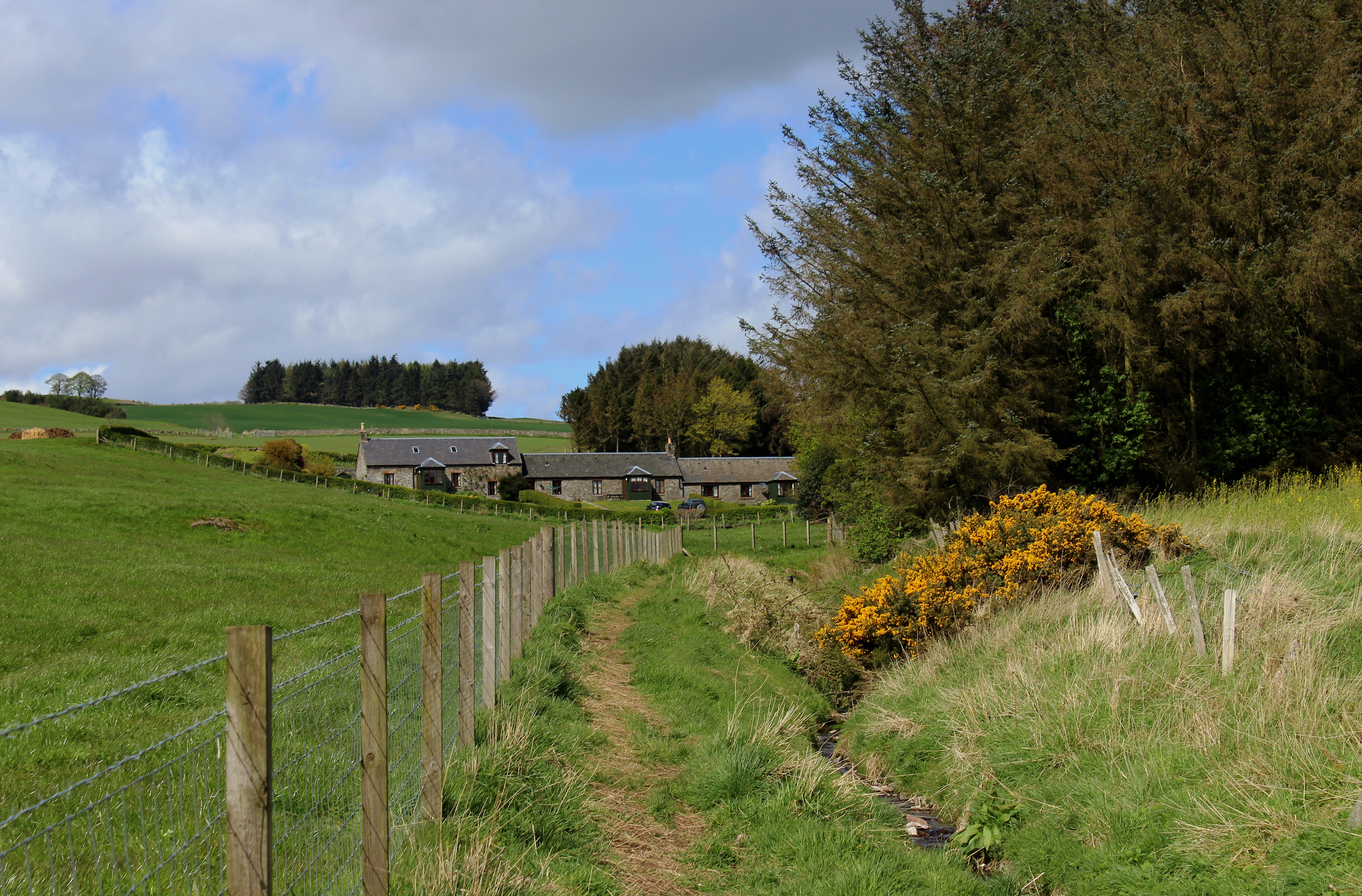
I stopped short of the farm, a signed path guiding me across the top of a field below the sheds to a wee stream gully which led up to a cluster of farm cottages then out along the access track to meet a minor road climbing to Pitmedden Forest.
Entering an area of the Forestry Commission plantation known as The Clink at a small car park, I climbed through the trees, passing below tall pines then beech, oak and larch, the way skirting the edge of the forest before descending to a gateway on the right where I was tempted into Glassart Den Community Woodland.
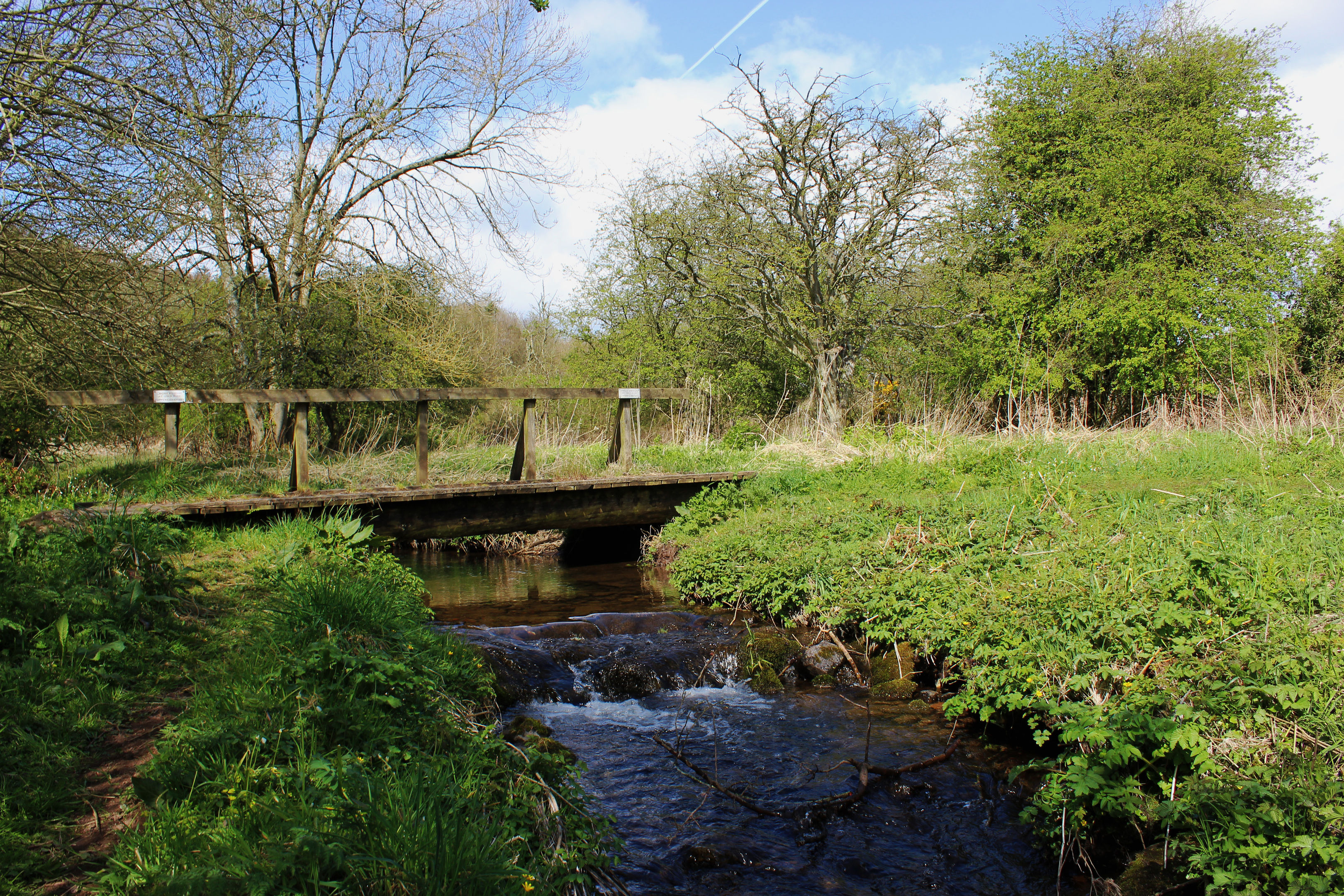
A network of paths weaves through this relatively recent patchwork of native trees and I had no trouble finding a route down to the den itself, the path negotiating bands of yellow broom and gorse as it dipped to a footbridge spanning Glassart Burn and then on to meet a minor road.
Joining the B936 at nearby Glassart Cottage, I was primed for a stint of road walking. However, to my delight, I discovered a little path that took me off the tarmac and into a strip of woodland wedged between the B936 and farmland to the north.
Following Pitcairlie Burn upstream, the way weaves through the trees and undergrowth before passing below a pylon line and progressing along a line of wooden boardwalks to re-join the road opposite a car park serving the common.
The right of local people to graze their livestock here was established back in 1517 when the town was granted a charter as a Royal Burgh by King James V. Today the common is still owned by the community and managed by the Macduff Trust and Fife Council’s ranger service.
Split into two distinct areas – The Mairs and The Whitefield – the land is awash with wildflowers during the summer months, attracting an array of birds, butterflies, moths and insects.
Larger inhabitants include roe deer, brown hare, rabbits, weasels and foxes while Eriskay ponies and sheep form part of ongoing conservation efforts to keep unwanted scrub growth at bay.

From the car park, where there is an information board, a signed right of way cuts across the common, the grassy track rising past pony enclosures to its high point, an outcrop at Whitefield.
Here the route curves a little to the right, leaving the common at a gate and continuing its journey between fields. Pausing briefly to enjoy an impressive view across the Howe of Fife to the Lomond Hills, I began my descent to Auchtermuchty, the track dropping by Broombrae Farm to enter the fringes of the town below.
Route
- Walk west along High Street.
- Turn right and ascend Leckiebank Road.
- Turn right, through gate, and follow signed path along field edge. Go left on path by stream to cottages, then right on track to road. Turn left and walk 300m up road.
- Turn right into Pitmedden Forest, pass round gate, and ascend track east.
- Turn right to enter Glassart Den Community Woodland. Where path forks, go left, descending to T-junction. Go left, under power line, then right, down to gate.
- Go through gate and descend path to road.
- Turn right to B936. Go left up B936 and branch left on to path by stream.
- Cross B936 to car park. Pass round gate by information board and ascend track over common. At Whitefield, bear right through gate on path signed Auchtermuchty.
- Entering Auchtermuchty, bear right past school and descend Bondgate to Cycle Tavern. Cross Burnside and ascend Kilnheugh to war memorial.
Information
Distance: 6km/3¾ miles
Ascent: 170m/560ft
Time: 2 hours
Grading: Easy, low level walk following minor roads, tracks and paths through woodland and farmland and across heath. Keep dogs under close control where there is livestock
Start/finish: War memorial, High Street, Auchtermuchty (Grid ref: NO 237117)
Map: Ordnance Survey 1:50,000 Landranger sheet 58; Ordnance Survey 1:25,000 Explorer sheet 370
Tourist Information: St Andrews Information Centre, 70 Market Street, St Andrews KY16 9NU (Tel 01334 472021)
Public transport: Stagecoach bus services 23 and 36 stop in Auchtermuchty