Hill of Alyth has long been a popular breathing space for local people, a plethora of paths weaving up to the summit.
Access points can be found along the northern fringes of the Perthshire village of Alyth but, rather than just hike up to the trig point and back, I picked paths that would take me over the western shoulder and through Bamff Estate, returning home via the top.
Setting off from Market Square, in the heart of the community, I followed the Alyth Burn upstream before walking west along High Street, passing the ruins of an old church, known locally as The Arches.
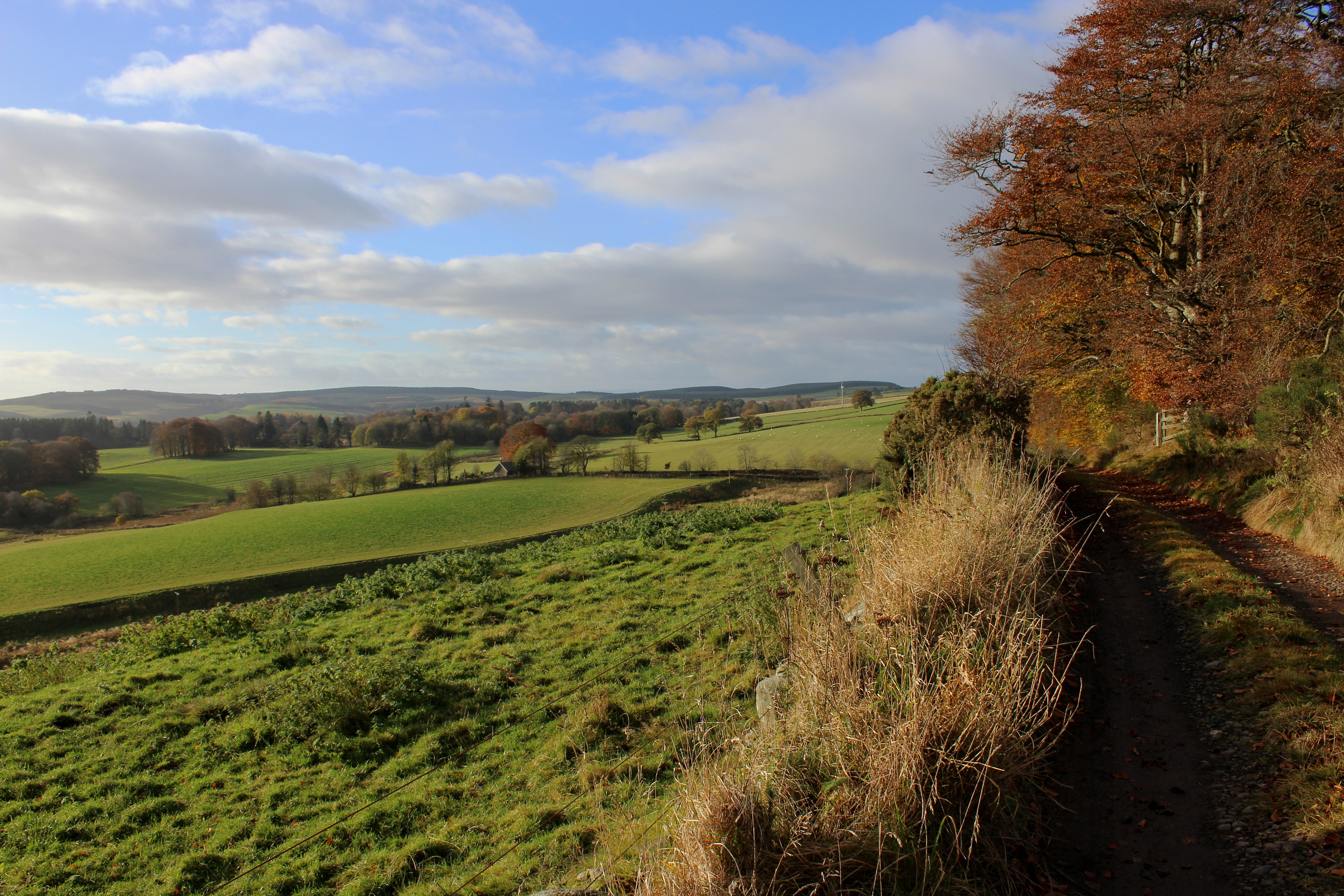
High Street led on to Strathmore Avenue where I branched right. Leaving the village behind, the way skirts by Alyth Community Woodland before rising above Westfield Farm to join the old drove road north to Bamff.
The way loops up the slope, climbing above an orchard, to a cairn where I left the track, a less refined trail continuing up the western edge of a strip of woodland, hemmed in by a wall and a fence.
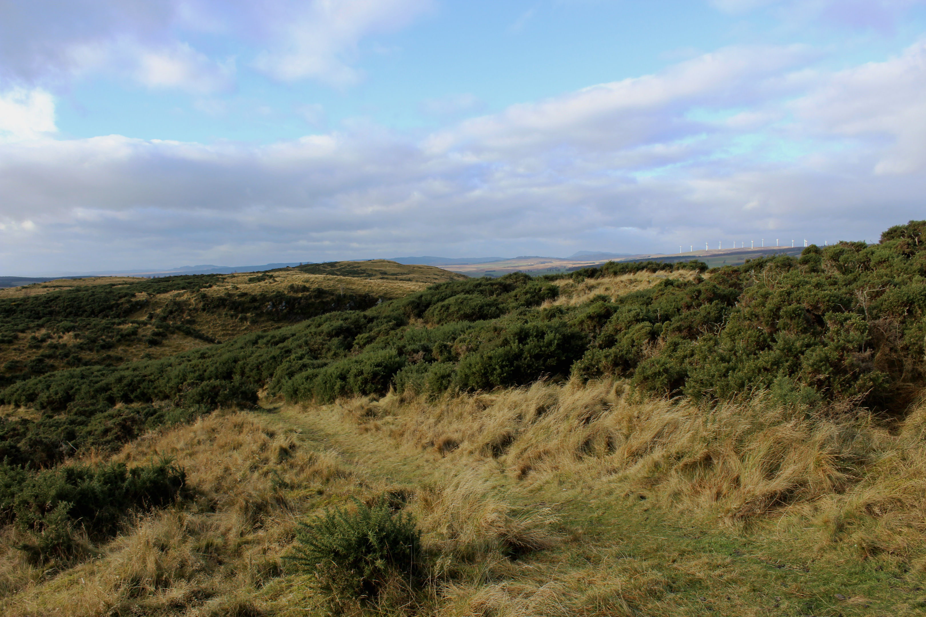
Beyond a gate at the top of this grassy ride, the path becomes slimmer and careful navigation is required. Aiming north towards two sets of power lines, I forked left below the wires, weaving through reeds and gorse.
Resisting the temptation to ascend the slope on my right, I kept the higher of the two power lines close at hand, dipping into a shallow valley where a marker post confirmed I was on the right route.
Here the path becomes more obvious, leading to a second marker post and then a third (with a Cateran Trail logo) where I descending left through gorse to a minor road.
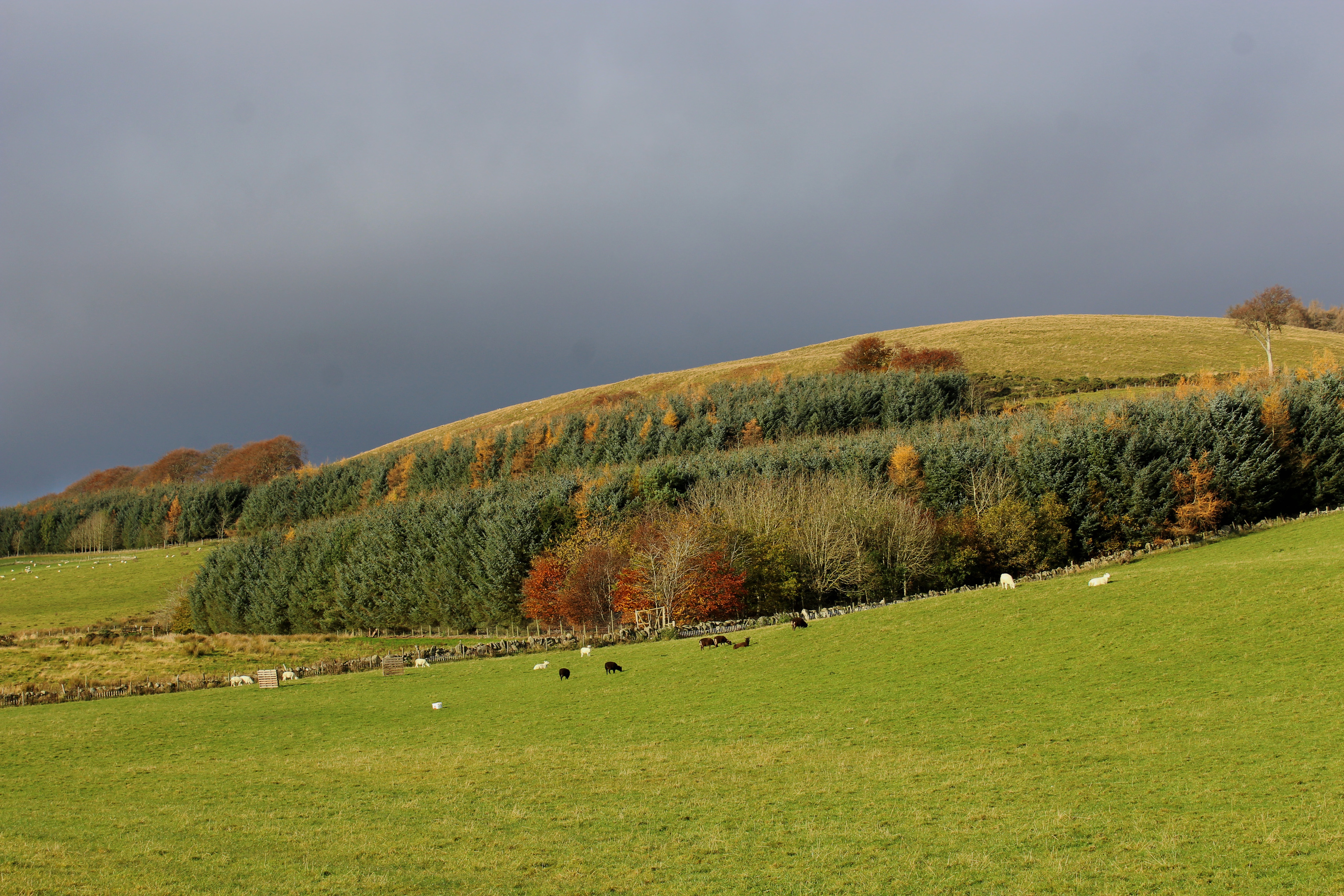
Across the tarmac, a farm track dips to a gate, the grassy trail beyond rising between hedgerows into Bamff Estate, mature woodland flanking me as I wandered down to cross Burn of Auchrannie below derelict Burnieshed of Bamff.
Upstream, the activities of the estate’s resident beaver colony are obvious – sturdy dams creating ponds and swamps where the creature has thrived. Introduced to the estate in 2002, the beavers have been breeding successfully for the past decade.

Beyond the trees, the way rises to Little Bamff where I turned east, enjoying fine views over the estate and to Hill of Alyth before hiking down the track from Ardormie Farm to the B954.
After a short stint of road walking south, I joined the path back to Alyth. Initially running along the edge of grazing land, the way enters a leafy corridor as it ascends towards the pass between Hill of Alyth and Hill of Loyal.
Spotting a route to the summit, I did not make it as far as the col. Instead, I branched right on a path cutting up through the gorse, a hearty climb elevating me on to the shoulder where a grassy trail completed my journey west to the summit.
Below the trig point, a well-placed bench was a welcome sight, offering a place to rest weary legs and enjoy the vista over Alyth and Strathmore ahead of my descent.
Here paths criss-cross the slope but heading south across a gully, I found one that broke left, guiding me south-east across the slope to meet, by woodland, the track down to Alyth.
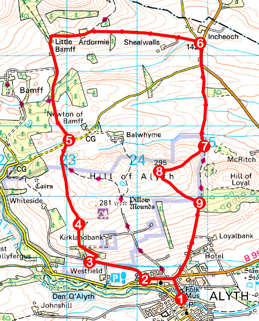
ROUTE
1. Cross river and go left along Commercial Street and up Toutie Street. Turn left along High Street.
2. Turn right (signed Bamff via Whiteside) and follow track past community woodland.
3. Turn right (signed Old Drove Road, Bamff) and ascend track. Bear left at junction beyond cairn, ascending north by wall to gate.
4. Continue north on path. Where path forks below power lines, go left on path running parallel with higher power line.
5. Cross road and follow track north to Little Bamff. Swing right above Quarry Cottages, following track east through Ardormie Farm to B954.
6. Walk 300m south on B954. Go through gate and continue south on path (signed Alyth).
7. Branch right at telegraph pole and ascend path to Hill of Alyth summit.
8. Descend grassy path south then south-east to woodland.
9. Go through gate and descend track then Loyal Road. Turn right on Hill Street then left down Toutie Street.
INFORMATION
Distance: 12km/7½ miles
Ascent: 390m/1290ft
Time: 3-4 hours
Grading: Moderate route following tracks and paths over heath and farmland with some strenuous stints of ascent. Stout, waterproof footwear recommended as some sections can be muddy underfoot. Keep dogs under close control over grazing land
Start/finish: Market Square, Alyth (Grid ref: NO 246485). Free parking
Map: Ordnance Survey 1:50,000 Landranger sheet 53; Ordnance Survey 1:25,000 Explorer sheet 381
Tourist Information: Blairgowrie iCentre, 26 Wellmeadow, Blairgowrie PH10 6AS (Tel 01250 872960)
Public transport: Stagecoach bus service 57 from Dundee/Perth to Alyth or Smith & Sons bus service 128 from Kirriemuir to Alyth


