Contouring round the hillside above the Perthshire river that shares its name, the Tummel Aqueduct is an impressive feat of engineering, part of an extensive hydro-electric scheme that harnesses water drawn from a vast expanse of the often-rainy Scottish Highlands.
Flowing from Dunalastair Reservoir, east of Loch Rannoch, to a power station that dominates the tiny hamlet of Tummel Bridge, this concrete lade is accompanied on its 4km long journey by a parallel track that creates a short yet enjoyable loop for walkers.
Just north of the old Tummel Bridge, a Forestry Commission car park offers the perfect starting point, a carved stone plaque setting the scene for a hike that initially follows one of General George Wade’s 18th Century military roads.

Time spent on the former Crieff to Dalnarcardoch highway is brief, but it does entail crossing the rather elegant double-arched humped-back bridge that lifted Wade’s road – and the soldiers that travelled it – across the River Tummel. Completed around 1734 at a cost of £200, this historic structure no longer carries traffic but remains open to those on foot.
Once over, a sign for the aqueduct directed me off the road and along a lane that services not only a couple of houses but also a sizeable electricity substation that is largely obscured by trees.

Trees or no trees, there is no getting away from the fact that Tummel Bridge holds much of the power in these parts, certainly when it comes to renewables. It sits right at the heart of the Tummel Valley Hydro-Electric Scheme.
Developed in the 1930s, this wide-ranging network of lochs, reservoirs, pipelines and aqueducts feeds water to nine power stations dotted across an area that stretches from Dalwhinnie in the north to Pitlochry in the south.

Beyond the substation and an adjacent stores building, where the road swings left, a track leads onward to a gently sloping Forestry Commission plantation sandwiched between the aqueduct and the River Tummel.
It is a fine wee woodland to wander through, heather, bracken, blaeberry and broom lining the way as it rises with no great urgency through bands of slender Scots pine, spruce and silver birch. The latter grow more prevalent as the route kinks left and climbs to meet the aqueduct.
At this point the option of walking west along the track running parallel with the 15-metre wide channel to Dunalastair Dam presents itself. This there-and-back detour adds three kilometres to the overall tally and offers an insight into the complexities of the scheme – the dam not only syphons water off into the aqueduct while maintaining river levels downstream but also ensures safe passage upstream for salmon through its snaking concrete fish ladder.
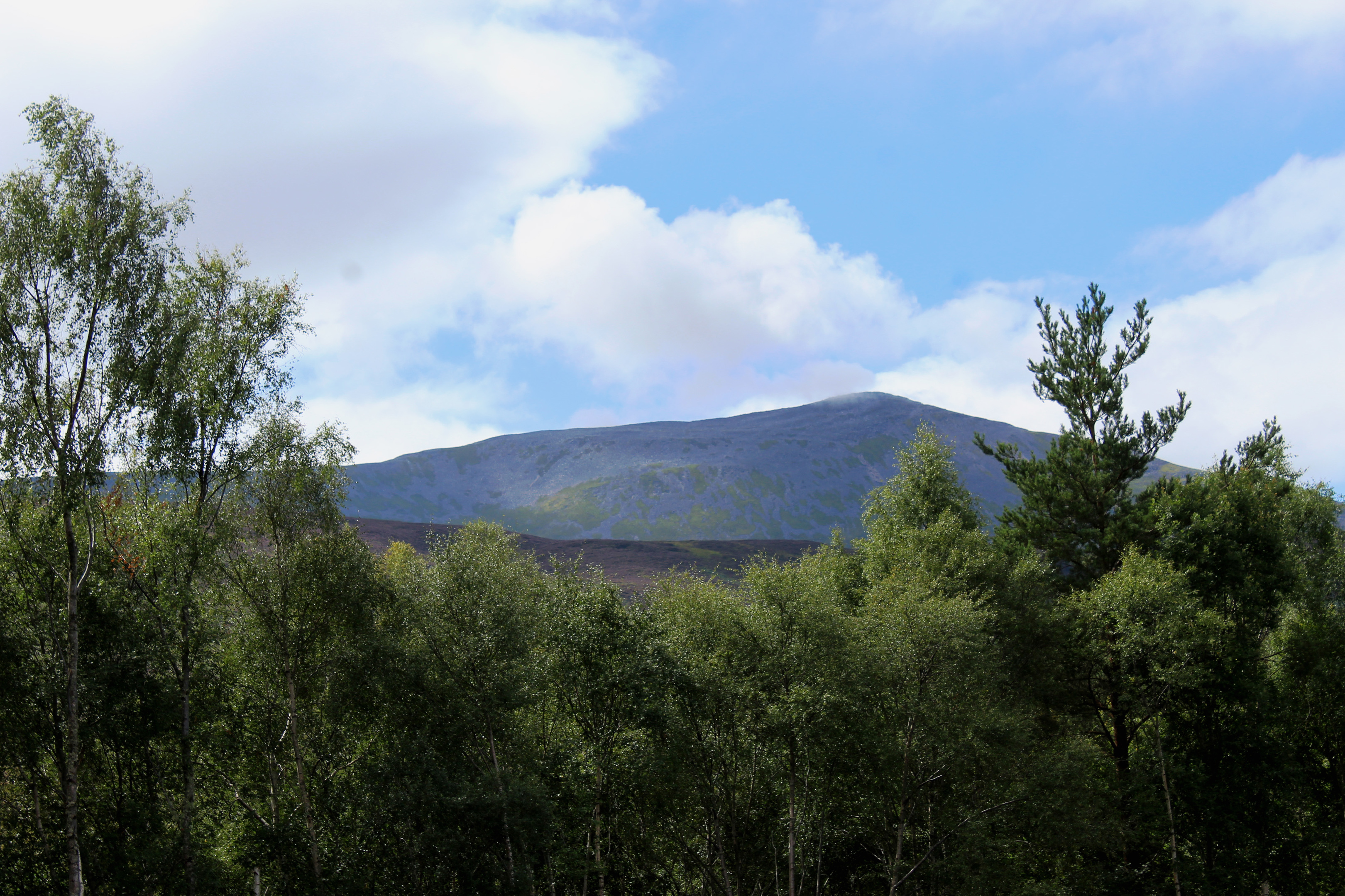
If you are sticking to the circuit, turn left and follow the lade east, pausing periodically to enjoy a fine view of Schiehallion’s northern flank through gaps in the birch woodland on the other side of the swiftly-flowing water.
The channel leads ultimately to the top of a pair of pipes that funnel down into the turbines of Tummel Bridge Power Station but the walk branches left ahead of this point, the track descending through the trees to the substation and stores passed earlier in the day.
Towering into the sky above, mighty metal pylons transmit the power of the aqueduct to all corners of the country.

ROUTE
1. Exit car park, turn left and follow B846 south, crossing the B8019 and then the old Tummel Bridge.
2. Cross B846 and walk west along single-track road (signed Path to Aqueduct).
3. Ignore tracks branching left into Tummel Substation and Stores and continue ahead on track, passing below two pylon lines.
4. Enter Forestry Commission plantation at gate, pass shed on left and continue ahead on forest track.
5. At junction where forest track meets surfaced aqueduct track, turn left and follow track running parallel with aqueduct east.
6. Turn left and descend surfaced track.
7. Pass between substation to right and stores building to left and follow access track out to point 3. Turn right and retrace steps to Tummel Bridge.
INFORMATION
Distance: 5.6km/3½ miles
Ascent: 70m/230ft
Time: 2 hours
Grading: Easy low-level walk with some signage following forest track and surfaced track by aqueduct with minimal, well-graded ascent. Stout footwear recommended
Start/finish: Forestry Commission Tummel Bridge car park on B846, 100m north of its junction with B8019 in Tummel Bridge (Grid ref: NN 762592)
Map: Ordnance Survey 1:50,000 Landranger sheet 51 or 52; Ordnance Survey 1:25,000 Explorer sheet OL49
Tourist Information: Pitlochry Information Centre, 22 Atholl Road, Pitlochry PH16 5BX (Tel 01796 472751)
Public transport: Elizabeth Yule bus service 82 runs from Pitlochry to Tummel Bridge (no Sunday service)


