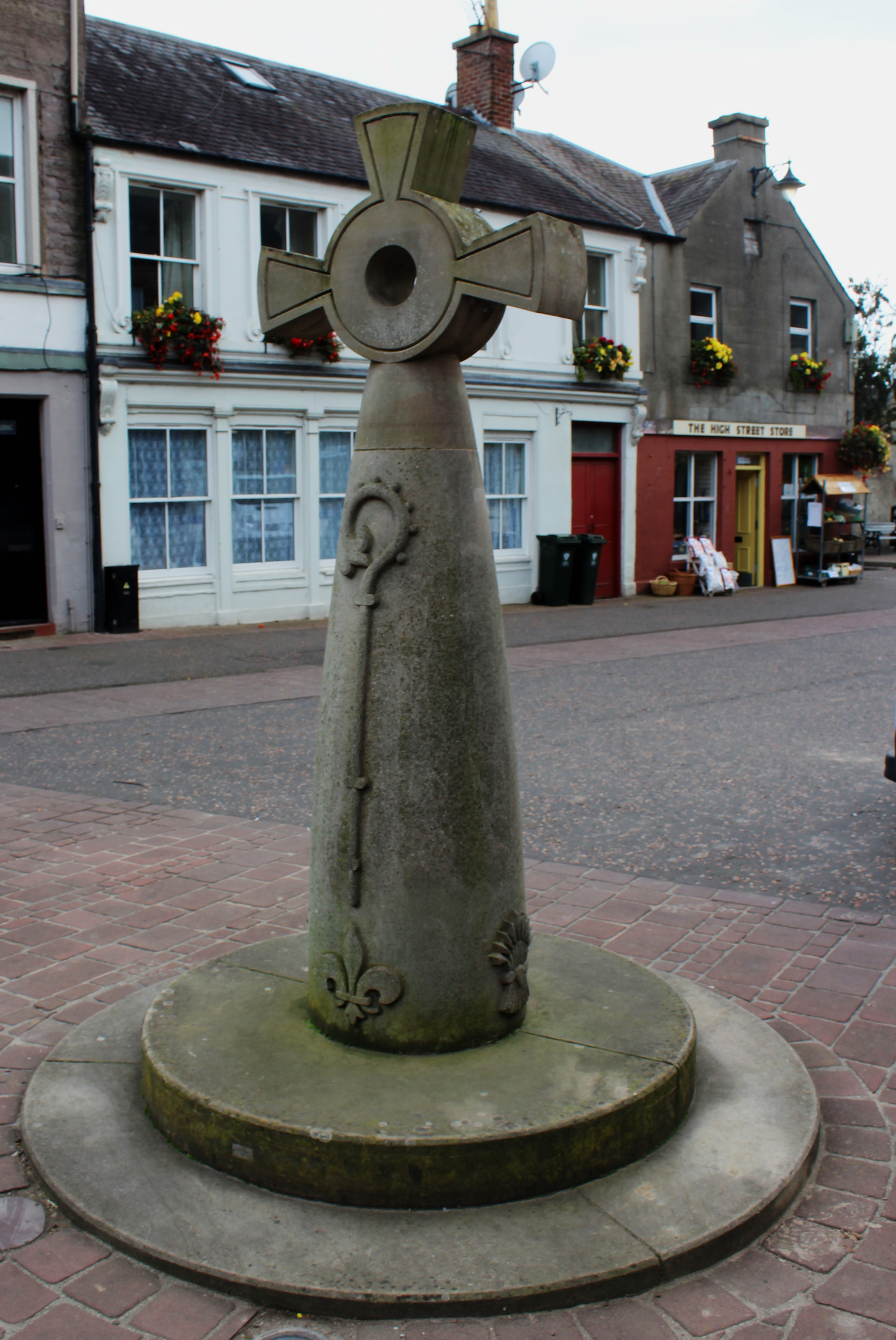
The folk of Coupar Angus proudly proclaim their town to be the ‘jewel of Strathmore’ and, setting off from the market cross in the heart of the community, I was keen to unearth some local treasures for myself.
Roads radiate out from what is now a modern stone cross and I opted to take Athole Street, a lane leading past the Athole Arms on to Causewayend. Originally one of the main routes from The Cross down to the river, this slender thoroughfare weaves between rows of traditional cottages and houses.
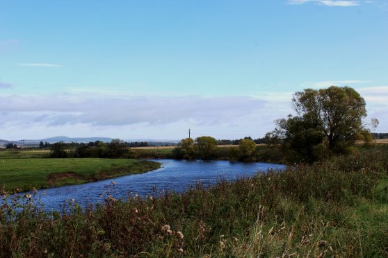
Caddam Road took me past newer dwellings to the edge of town where I branched on to a farm track descending towards the River Isla. Rounding a bend, I spotted the ribbon of sapphire blue meandering through the fertile arable plains of Strathmore.
Meeting the flow at one of its great sweeping bends, I witnessed a mature river on the final stage of its 74km journey. Rising in the mountains of Angus, it would, a few miles to the west, end in convergence with the Tay.
Heading upstream, I passed through a tunnel below the trackbed of the former branch railway that, until 1965, linked Coupar Angus with Blairgowrie, before joining the riverside path proper by the main road that solely serves this role now.
A grassy path sticks close to the water, forking left at a pair of old oaks before progressing to a wooden gate and marker post. Ahead or me, the way was rather overgrown so I climbed on to the parallel levy, topped with a slender path.
Ducks on the water below me, I spotted evidence of beaver activity, willow trees on the bank displaying the tell-tale teeth marks of these gnawing herbivores. Dozens of unofficial colonies are thought to exist on the Tay and its tributaries, the Isla among them.
My time by the river ended near Bendochy Parish Church, a simple place of worship dating from the 17th century, almost hidden by a veil of trees across the water.
Turning inland, a track guided me around the edge of a field of harvested broccoli before climbing to Princeland Farm, occasional marker posts confirming I was on the right course.
The farm sits on the eastern edge of Coupar Angus and, passing Larghan Victory Park, a popular recreational ground that opened shortly after the Second World War, I too remained on the fringes of urbanity.
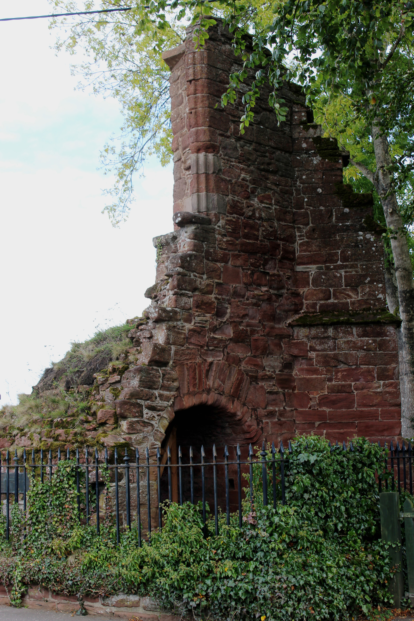
While there is evidence of Pictish settlement and Roman activity in the area, it was the establishment of an abbey in the 13th century that had the biggest impact on the early history and development of Coupar Angus.
Approaching the site of the Cistercian monastery, I joined Thorn Alley, a path that follows the line of what some believe was the eastern boundary of the abbey precinct. Others think it delineates the rampart of a Roman camp.
Partially destroyed in 1559 during the Reformation, it was another 50 years before the last of the monks left and all that now remains of what was once one of the wealthiest abbeys is the country is the crumbling stump of a gatehouse.
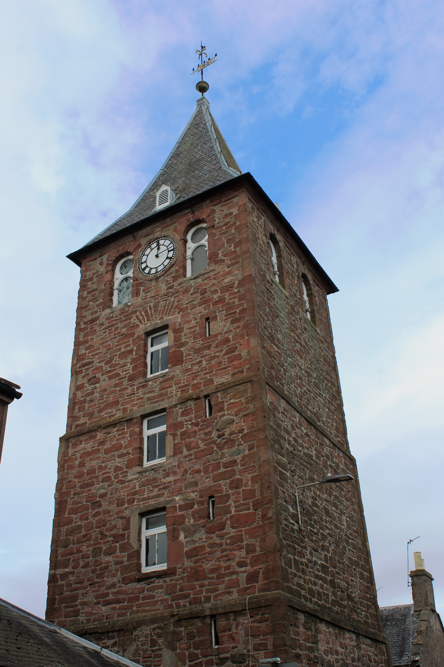
The salvaged stone found new life in other buildings, including the parish church which now occupies the abbey grounds, and Tolbooth Steeple, a striking 18th century tower that heralded my return to the heart of Strathmore’s jewel.

ROUTE
1. Left of Tower Bakery, join Athole Street and follow it then Causewayend (B948) to junction with Caddam Road.
2. Cross and progress along Caddam Road to speed derestriction signs. Go right, descending track (signed Buttery Bank) to junction by Kemphill Farm.
3. Turn right and follow track to A923.
4. Cross A923 then stile and follow riverside path 1.2km to next signed junction.
5. Cross fence and turn right (signed Townhead), descending through metal gate, and follow field edge track to cottage.
6. Ascend track, bearing right at Princeland Farm, to meet Townhead.
7. Descend left on Princeland Road to A94. Cross and continue 350m ahead on minor road.
8. Turn right through Meadowside Farm and go right on path though wooded strip then around perimeter of maltings.
9. Below power line, go left over stream then left again on Thorn Alley to Dundee Road. Turn right and follow Dundee Road, crossing A94, to return to The Cross.
INFORMATION
Distance: 7.2km/4½ miles
Ascent: 60m/200ft
Time: 2-3 hours
Grading: Easy low-level route following pavements, tracks and paths with good signage. Stout footwear recommended as some terrain rough underfoot. Keep dogs under close control over farmland
Start/finish: The Cross in the centre of Coupar Angus (Grid ref: NO 221400). Car parks in George Square and Commercial Street
Map: Ordnance Survey 1:50,000 Landranger sheet 53; Ordnance Survey 1:25,000 Explorer sheet 381
Tourist Information: Blairgowrie iCentre, 26 Wellmeadow, Blairgowrie PH10 6AS (Tel 01250 872960)
Public transport: Stagecoach bus services 57 links Coupar Angus with Dundee and Perth and service 59 from Dundee to Blairgowrie stops in the town


