Areas in west Fife have been warned to expect flooding on Wednesday with a high tide in mid-afternoon set to cause coastal damage.
Several areas could be hit, including Culross, Longannet and Kincardine.
The Scottish Environment Protection Agency (Sepa) has warned householders and businesses to be on guard with potential flooding hitting low lying properties between 3pm and 3.30pm on Wednesday in Barbara Stocks Lane, West Green, Sandhaven, Low Causeway and Main Street, all Culross, along with Longannet Power Station.
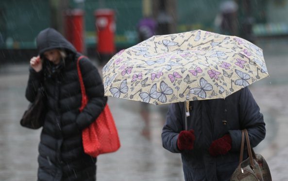
Although Courier Country appeared to escape the ravages of Storm Eleanor on Tuesday evening, many areas experienced a deluge of rain through the day with fog seeping in to some parts of Perth during the evening.
And residents in west Fife have been asked to be “vigilant” with many coastal villages expected to be hit by flooding on Wednesday.
A flood warning on Sepa’s website states: “Between 3pm and 3.30pm on Wednesday, high tide level means flooding is possible from the sea. Flooding is expected along the coastal frontage at Culross, Longannet and Kincardine.
“Areas at risk include low lying properties on Barbara Stocks Lane, West Green, Sandhaven, Low Causeway and Main Street in Culross, along with Longannet Power Station.
“Remain vigilant and remember, it is your responsibility to take actions which help protect yourself and your property. Advice and information is also available through Floodline by phoning 0345 9881188.”
However, despite warnings that the ravages of the latest storm to hit Scotland may cause disruption, Courier Country appeared to escape without any major incidents.
On Tuesday evening, Storm Eleanor hit areas in southern Scotland with severe weather warnings in place through the night and into most of Wednesday.
Weather forecasters claimed a combination of high tides and strong winds would result in large waves and spray in some western coastal areas of the country.
Gusts of up to 80mph were predicted to hit some western coastal areas of Scotland through Tuesday night into Wednesday morning.
Tayside and Fife, along with Central Scotland, were no longer included in the weather warning area after forecasters brought the affected northern boundary southwards.
The only incident of note took place on an unclassified road from Amulree to Kenmore. Part of this road was closed between the Garrow’s and Tombuie Cottage due to snow and ice and abandoned cars.
Met Office spokesperson Emma Sharples said: “Exposed coasts within the weather warning area could see 60mph to 70mph gusts while they could be close to 80mph in isolated and very exposed areas.
“We will see winds easing down as we go through the day on Wednesday but there will still be some quite gusty winds.”
Weather forecasters have said the unsettled theme will continue this week, with further spells of rain moving across the UK and some snow over high ground in Scotland.
Paul Gundersen, chief forecaster with the Met Office, commented: “Storm Eleanor will bring a very windy spell to the UK on Tuesday night and Wednesday, with gales or severe gales in places. National severe weather warnings have been issued as there is the potential for some travel disruption, and high waves throwing beach material on to sea fronts, roads and coastal properties, along western and southern coasts.”
The weather warnings for Storm Eleanor are expected to run until around 6pm on Wednesday.