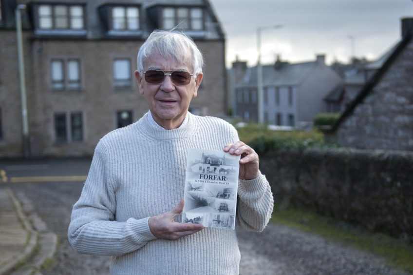
Angus historian Alex Whyte has taken a trip down memory lane to produce a book exploring “lost” Forfar walks. Gayle Ritchie finds out more.
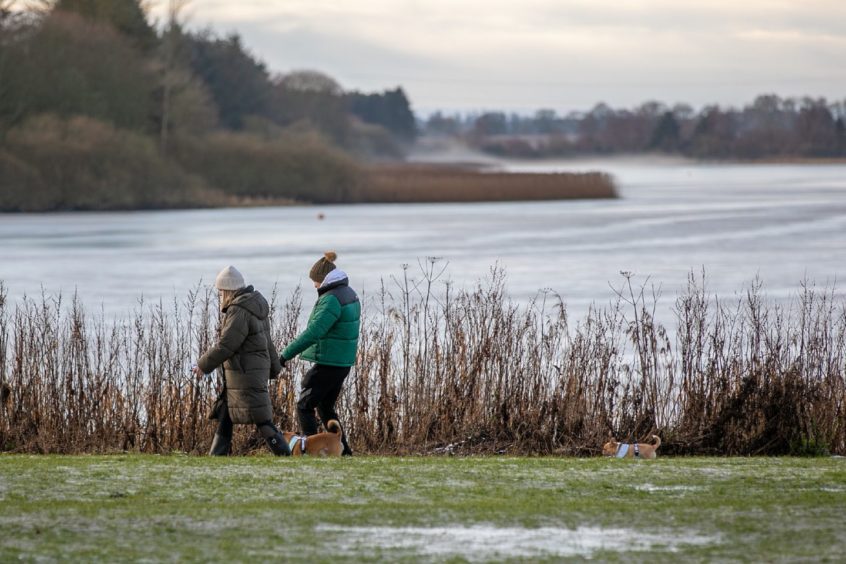
Nestled deep in the heart of Strathmore, Forfar is a walker’s paradise.
Whether a short stroll or a huge hike, the town boasts trails galore and is perfectly placed for exploring the Angus countryside.
Alex Whyte, a founding member and past president of Forfar and District Historical Society, has been strolling the streets, scaling the hills and roaming the farmland and glens that surround the town for decades.
And after 40 years of exploring, he has decided to share his knowledge of the area with others via a new book – Forfar: Its Tracks, Paths and Walkways.
“The book is the result of around 40 years of footslogging along with around 60 years of historical comment,” says Alex.
“As well as guiding walkers to the many tracks available around Forfar, the text also details walks which are difficult to traverse or have been lost completely.”
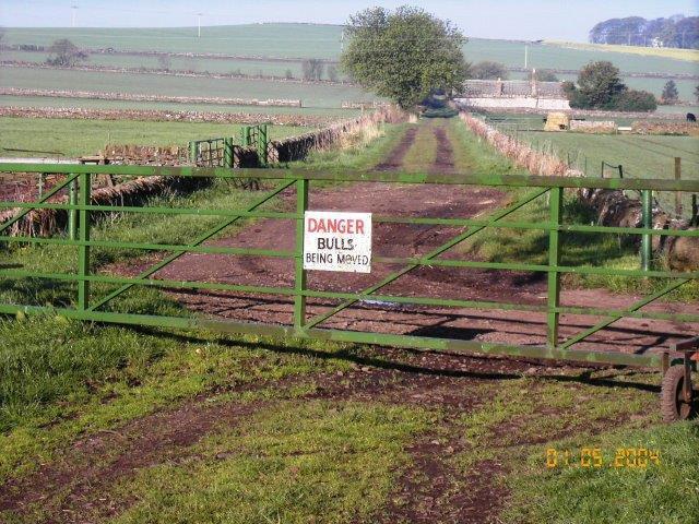
Alex says many routes have been “covertly obstructed” over the years by “illiberal landowners determined to warn off walkers”.
Meanwhile, some tracks have been lost as a result of farming practices – perhaps ploughed up or inhabited by livestock – while others have been “annexed” by individuals seeking seclusion, free from the prying eyes of ramblers and strollers.
“The book includes the many once welcoming walkways which have been obliterated, obstructed or purged for public use, but should also give indications of where the public may engage in brisk hikes or leisurely strolls, and where it will be difficult, if not impossible, to follow the ancient routes enjoyed by their ancestors,” explains Alex.
“Most of the routes were established as lines of communication in olden times, and had more to do with survival and trade than with leisurely Sunday afternoon strolls.
“Quite a few of the old paths are still in use, thanks to the perseverance and persistence of the multitude of both respectful and inconsiderate dog-walkers.”
In 2010, Angus Council produced its Core Paths Plan, prepared under the framework of the 2003 Land Reform (Scotland) Act, which obliged local authorities to identify these paths.
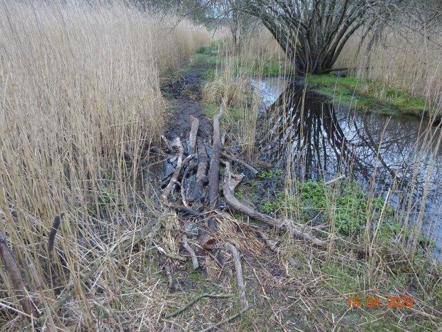
“Unfortunately this did not oblige them to maintain the paths,” says Alex.
“This has resulted in the appearances of some splendid and substantial signposts and grand, galvanised gates inviting unwary walkers into difficult, overgrown and potentially dangerous terrain. Many tracks are passable in spring before fresh vegetation has choked them completely. In summer, take your machete!”
However, Alex says it’s not the book’s intention to highlight “local authority shortcomings”.
“If the paths were used more extensively, they would not, of course, become overgrown.
“But the purpose is to make readers and walkers aware of the pleasures which ought to be available to both regular and occasional ramblers in the area.”
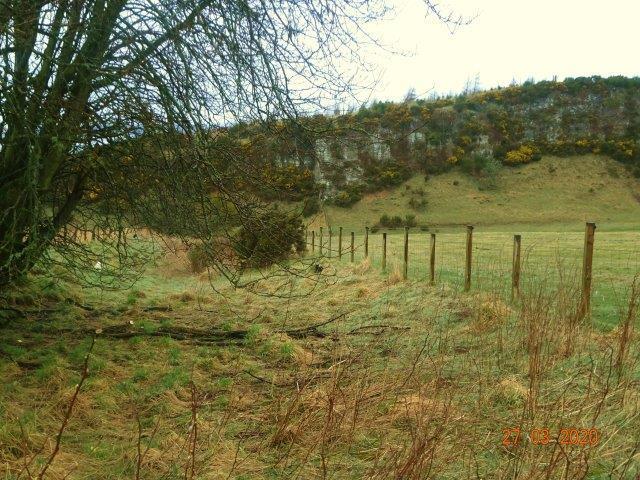
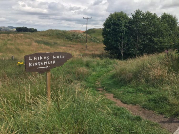
Walks included in the book include areas in and around Forfar with some lesser known and “lost” routes marked out.
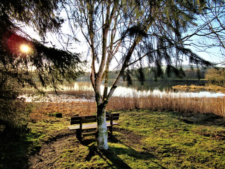
These include: Forfar Loch, the Lour Road, Hillside, Balmashanner, Blackgate, Lunanhead, Restenneth and Cunninghill, Suttieside, Carsebank, Hatton of Carse, Gowanbank, North Whitehills, Pitreuchie, Kingsmuir, Kingston and the Auchterforfar areas.
As well as route descriptions and foldout maps, there are anecdotes, tales of yore and folklore.
“A dirt road from Kings Road to the Blindwell appears on a map of 1832 as ‘the Old Kirk Road from Lower’ (Lour), as it went past a ruin of an old kirk known as the Pitreuchie Chapel – dedicated to St Boniface,” says Alex.
“The local, popular name was ‘The Road to Ruin’ because this was the way courting couples took to reach the whins and bushes on Balmashanner! More likely it was so called as it was the road to the ruin of the kirk.”
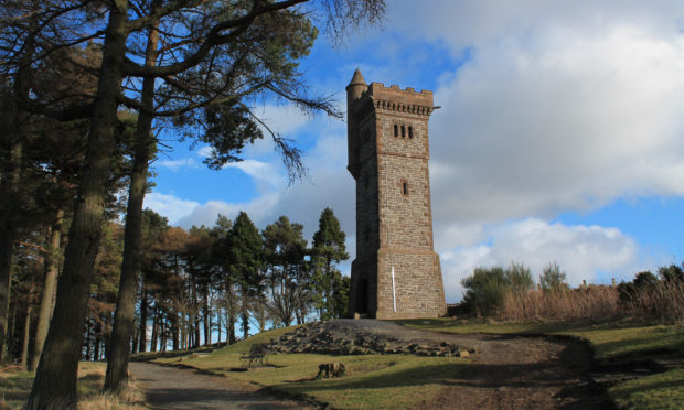
Another popular walk is up Balmashanner Hill, locally known as “Bummie”, which rises from the southern edges of Forfar and boasts fine views over the town and beyond from its war memorial, unveiled in 1921.
The book also tells the story behind the Gallows Tree, which was, in 1785, the scene of the last hanging in Scotland by order of a sheriff.
“There’s a typical Forfar fairytale about an earlier hanging when the victim berated the eager, voyeuristic townsfolk scurrying ahead of him as he was led to the gallows with: ‘ Y needna rush, for there will be nothin done til I get there,’” says Alex.
South-west of the Gallows Tree, a bronze age hoard was turned up by the plough in 1892, but the artefacts were spirited away to Edinburgh.
In November 2018, Alex published the book, Forfar: Its Streets And Its Places, in which he revealed the history behind the town’s buildings, their uses and their occupants.
It followed on from Forfar and District Historical Society’s 2001 publication Looking Down on Forfar.
He trawled the archives for his research, drawing on information from valuation rolls, directories and local newspapers.
The book covers an array of properties and features in the town, including banks and burns, churches and cinemas, factories and private and public buildings.
- The book, Forfar: Its Tracks, Paths and Walkways, is available at £15 from members of the Forfar and District Historical Society – email forfaranddistricthistorical@gmail.com –and from Small’s Sweet Shop on Castle Street, McLaren Bakers on Market Street and the Cross in Forfar.