A stunning video highlighting the depths of the River Tay on the approach to the Port of Dundee has been created in a bid to attract more offshore wind and decommissioning work to the city.
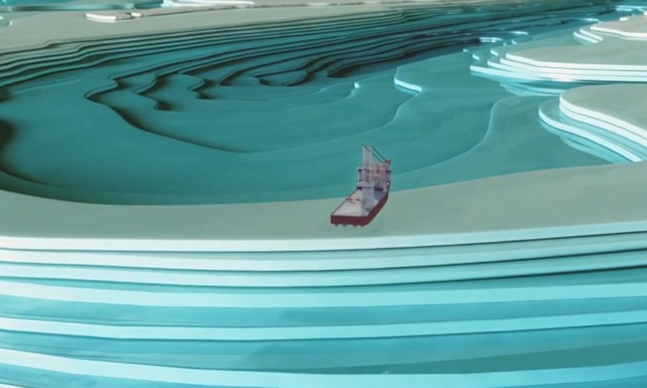
The animation shows the exact layout of the water bed of the main route into the port as well as information regarding high and low tides.
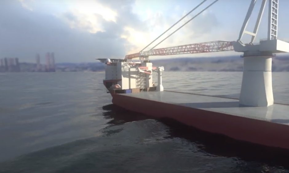
The computer generation, created by City Quay firm Crucial Visual Communications, features the Dundee cityscape and next generation offshore wind vessels.
Senior port manager David Webster said it was important to be able to visually demonstrate Dundee’s potential to prospective companies.
He said: “The port has had a record year for activity and we’ve been working on a lot of offshore wind and decommissioning tenders and enquiries.
“This year we had the Asian Hercules III at the port — a huge offshore wind install vessel — and it was after that we thought we should create the video to demonstrate more of what we can do.
“A lot of the big vessels that we’ve been dealing with are from Europe and we’ve found that the Tay estuary is not very well understood.
“The video shows the Tay without any water in it which I think is fascinating and the two geographical speed bumps coming into the port, the Tay Bar and the Lady Shoal.
“We are delighted with the finished video and plan to use it as a promotional tool for a lot of the windfarm and decommissioning projects coming up.”
Water depths on the approach to the Port of Dundee have recently been highly publicised in the wake of the Scottish Government’s decision to select Dales Voe in Shetland as the location for an ‘ultra’ deep decom facility.
Mr Webster said the new video was not a response to the political decision but had been six months in development.
He also highlighted a new port entry light system in which three lights are beamed across the river to guide vessels.
“The Tay is really wide and some parts are shallow and some parts are really deep. What we’ve done to improve the navigation channels is that instead of it being a two mile access route, we’ve made it 150 metres at the deepest part,” Mr Webster added.
“The new port entry light system —three lights that are fired across the river from the lighthouse in Tayport — helps ships follow the right path.
He added: “Virtual navigation buoys have also been put in which helps modern navigation systems.”

