Forecasters have warned that another cold snap is on its way with parts of the country facing more snow and freezing temperatures.
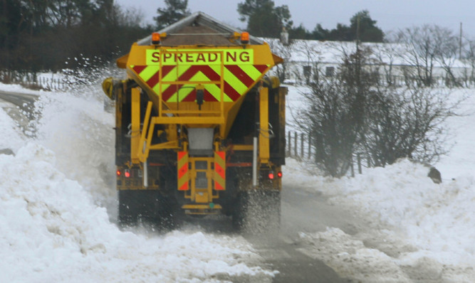
Scotland and the north of England are expected to see up to eight inches of snow build up between tonight and Wednesday morning, with temperatures dropping as low as -15C (5F) overnight.
The Met Office issued a yellow severe weather warning urging those in the regions likely to be affected by snow to be aware.
Tony Conlan, a forecaster for MeteoGroup, said: “Most accumulations of snow are likely to be overnight on Tuesday. Temperatures could potentially drop as low as -10C (14F) or even -15C (5F), depending on how much snow we see and how the wind falls.
“It is nowhere near the UK’s record low of -27.2C (minus 17F) but it will still be very chilly.”
The Grampians, eastern parts of the Southern Uplands, the Lake District and the Pennines are expected to be hit hardest.
Issuing a yellow warning for ice today and tomorrow, the Met Office said slippery stretches are “likely on untreated roads and pavements”.
With snow melting away during the day, commuters are facing potential disruption during morning rush-hour.
Mr Conlan said the cold snap should let up after Wednesday, with indications that temperatures may warm up as milder winds come in from the South West on Friday.