
With only a week to go until the big day can we start dreaming of a white Christmas in Tayside and Fife?
The answer is that it’s unlikely for many of us.
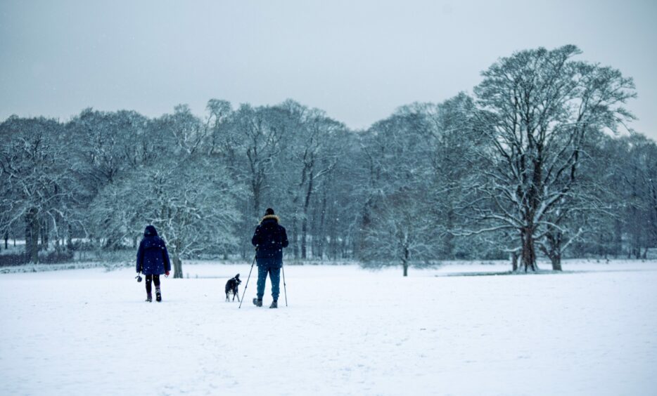
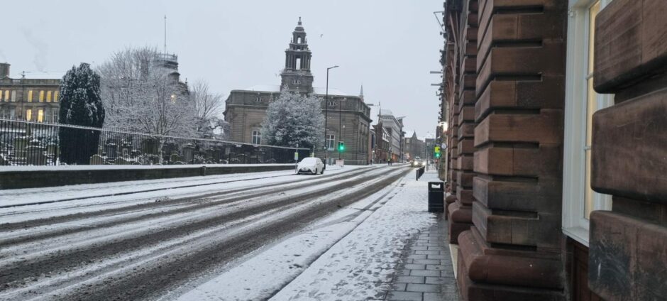
There’s still plenty of snow lying in many parts of Tayside and Fife but with temperatures set to rise in the coming week it’s beginning to look less and less likely that the dreamt of white Christmas will happen here.
While a yellow weather warning for snow and ice remains in place for Tayside and Fife until Sunday night things are then set to take a dramatic turn.
Spring like temperatures
Weather forecasters predict we are set to lose the winter weather of the past week with much milder and wetter weather coming in on Monday with temperatures possibly rising as high as a balmy 12 ° – more normally seen in March and April in Tayside.
The UK weather odds suggest we could see snow on Christmas Day somewhere across the country, but the most likely place will be central Scotland or the north east of England.

So while it’s looking increasingly unlikely we will see snow in Tayside and Fife on December 25 Glasgow and Edinburgh each have a 33.3% chance of snowfall at odds of 2/1.
Last year snow fell in parts of eastern Scotland on Christmas Day with people living at Strathallan in Perthshire waking to a covering of snow.
Weather records, as by measured by the Met Office, show there has not been actual snowfall in Dundee on December 25 since 2004.
What makes an official white Christmas?
Christmas can be white in a specific location if at least one solitary snowflake falls during the 24 hours of Christmas day, according to the Met Office.
Offices in London were traditionally used to define a white Christmas however a number of locations have been added to that, including Aberdeen, Edinburgh and local observing stations.
The last widespread white Christmas in the UK was in 2010. There snow on the ground at 83% of Met Office stations (the highest amount ever recorded) and snow or sleet also fell at 19% of stations.
And there was a white Christmas in 2009, when 57% stations reported snow lying on the ground and 13% recorded snow or sleet falling.
Forecast in the lead up to Christmas
The Met Office predicts that outbreaks of rain will spread northeast across all parts of the area on Sunday, preceded by a spell of snow inland. This will drift over high ground before turning to rain.
There will be outbreaks of rain on Sunday night which will be heavy at times. It will be windy with temperatures of 1°C.
Monday will see outbreaks of heavy rain at times in the west and wit will be feeling much milder with a maximum temperature of 12 °C.
The outlook for Tuesday to Thursday is dry for Tuesday with showery weather on Wednesday and drier and brighter in the east. It will often be windy with showers become widespread on Thursday when the wind eases.
Then between Thursday and Christmas Day conditions are likely to be less cold than of late although there will be a north/south divide.
Temperatures will remain rather cold in the north with wintry showers likely and a risk of overnight frosts.
Towards the south it will remain milder with temperatures close to, or above average.
Spells of rain and stronger winds are likely, particularly in central and southern areas. Away from the north, any snow will likely stay confined to higher levels.
Towards New Year, there is potential for a more settled spell with overnight frosts and morning fog, before a trend towards changeable but probably more milder conditions.