Capel Mounth and Loch Muick, Angus
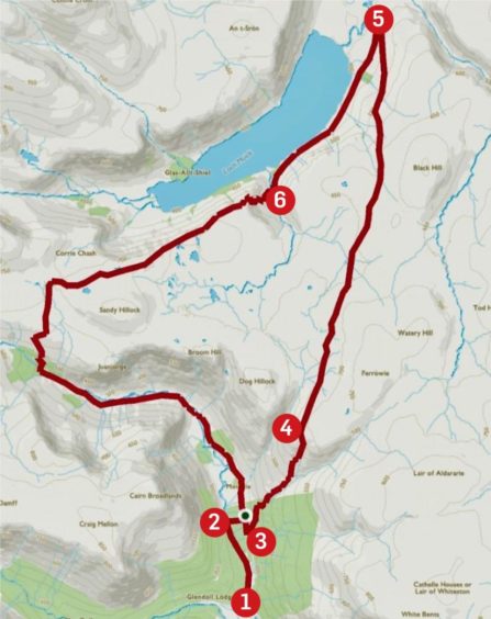
The Capel Mounth provides a fine link between Glen Doll and the waters of Loch Muick with grand open views for walkers and cyclists but it is not a route to be taken lightly.
Those strolling over on a perfect summer’s day may wonder what all the fuss is about. But for much of its way, the ground is high and exposed and in adverse weather it becomes a different beast altogether. It’s easy to get caught out.
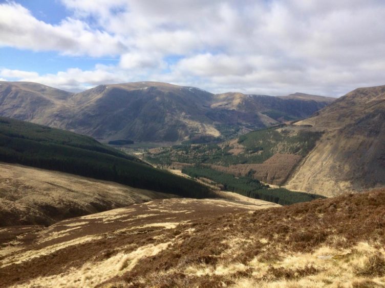
The climb from Glen Doll is relatively sheltered, even in snow; the shockwave that rolls over you when you reach the high point and are suddenly exposed to the elements can be bracing, the route stretching ahead beautiful in its bleakness.
Like most of the old Mounth roads, the Capel was a convenient crossing for the local population in bygone days. It’s also said to have been used by Jacobites on their way to Culloden in 1746, and subsequently, refugees fleeing in the aftermath.
Some old maps showed snow posts and cairns marking the route, the cairns memorials to those who perished here.
A version of the route was marked on maps as far back as the mid-1300s. The name Capel is linked to the fact that there was once a hospice with a chapel for travellers at the Spittal of Glenmuick.
This circuit is long but satisfying and never too taxing, and after the initial steep ascent on the twisting path rising from Glen Doll, there is only one other short climb to tackle about halfway along Loch Muick.
I left the busy car park was soon in perfect solitude on the delightful and improved woodland path which runs by the waters of the South Esk. As I crossed the wooden footbridge, I was treated to the sight of a buzzard, its keening echoing round the glen as it elegantly rose along the treeline toward the heights of Cairn Broadlands.
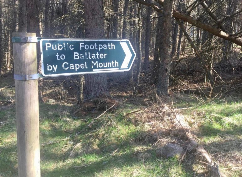
Coming out of the deep tree cover on to the Moulzie track, I turned right for a short distance and then took the signed path into the trees and then a larger cleared section before the harder work began. There may not be any hills summited, but this is still a circuit with a fair bit of height gain.
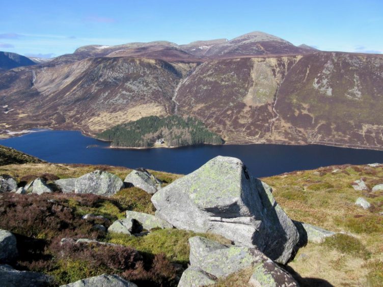
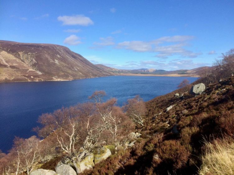
From the high point, I could see the track snaking its way off into the distance. On the long sweep north, Lochnagar kept showing its many faces. These grew bigger and bolder on the path along the side of the loch. Once some height was regained about halfway along, they dominated the skyline to the west.
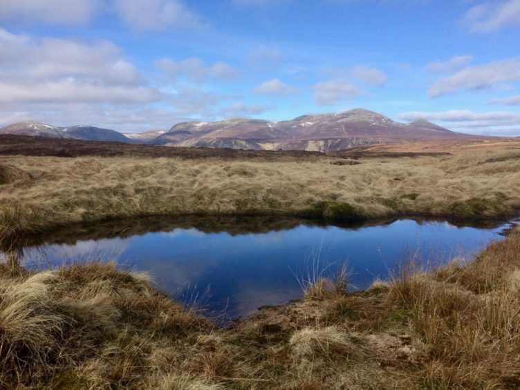
The sun was now glinting off the rocks and the blue water reflecting the blue sky. The mottled terrain to the east to the inward route was lost in a brilliant sheen.
My favourite Munro in these parts, Broad Cairn, now loomed ahead, and it can be added to the circuit if you have the time and energy. I left it for another day and turned on to the path past the pony shed which leads down to the little bridge at Bachnagairn.
This is a popular lunch spot and I found a few of the boulder seats already occupied. The stony track drops fast beside the fast-running water and I soon found myself at the rebuilt wooden bridge which crosses to Moulzie.
The previous one was swept away a few years ago, but its replacement appears more substantial, and built at a more robust angle. The power of the water should never be under-estimated however, and there are already worrying signs of erosion further along with sections of the bank along the path calving into the water.
Once past Moulzie, it’s just a case of heading back through the trees to the first bridge and following the path to the car park.
ROUTE
1. Head north from car park past picnic benches and take woodland path alongside river until reaching wooden bridge on right.
2. Cross and go east through trees to emerge on track. Turn right for short distance to signpost on left for Capel Mounth path.
3. Follow path, through trees at first then open terrain, as it twists steeply uphill.
4. After hitting 885-metre high point, path descends gradually for 6km to meet track coming in from Spittal of Glenmuick.
5. Turn left and follow track along shore of Loch Muick for 3km to bridge.
6. Cross and go up hillside straight ahead (ignore path going right). Stay on this high-level line for another 3km to pony shed.
7. Turn left on path heading south, eventually dropping in zig-zags to bridge at Bachnagairn.
8. Cross and turn left to follow path through trees, continuing on stony track by the South Esk until wooden bridge above Moulzie.
9. Cross and take muddy path past Moulzie, then track south until reaching entrance in trees on right which leads back to bridge and path to parking.
INFORMATION
Distance: 22.5km/14mls
Ascent: 900m/2,950ft
Time: 3-4 hours
Grading: Hill paths and estate tracks. Steep, sustained climb to top of Capel Mounth, then walk across high, exposed ground that can be dangerous in adverse weather. Good level of fitness required, plus relevant hill and navigation skills.
Start/finish: Glen Doll parking (Grid ref: NN 913610).
Map: Ordnance Survey 1:50,000 Landranger Maps 44 (Ballater & Glen Clova); Ordnance Survey 1:25,000 Explorer sheet OL 53.
Tourist Information: VisitScotland, Dundee iCentre, 16 City Square, Dundee, DD1 3BG (Tel 01382 527527).
Public transport: None.
