Boddin Point, Ferryden, Angus
A morning of deep freeze, the early sun finding rainbows in the rising icy mists over the waters of Montrose Basin, picture perfect for a stroll along the coast.
The starting point was the village of Ferryden, where quaint and colourful suggestions of a proud fishing heritage are juxtaposed with modern industrial workings along the estuary.
I managed to squeeze into the car park in William Street – there was always the option of street parking to the west – and then set off east along the shore road above the gleaming, glassy water for the lighthouse at Scurdie Ness.
A signpost pointed the way right through the line of cottages, a second soon after just before a shed brought a turn left on to a narrow, rising path leading to the tarmac that runs down to the lighthouse. To add to the colour of the morning, there was a long line of children’s painted rocks snaking along the roadside wall.
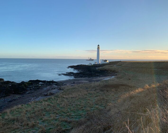
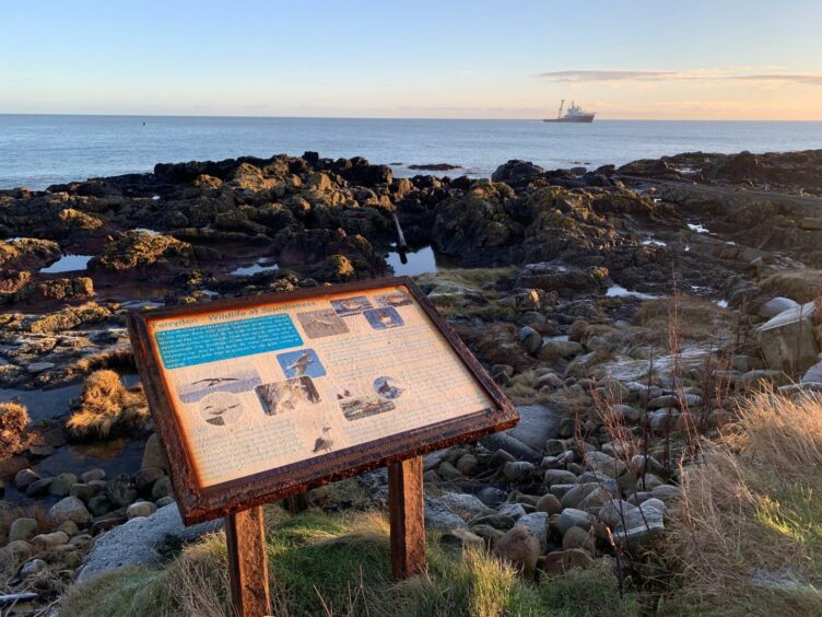
An older beacon and a nature information board were passed and ahead, above a flawless sky, the pristine white of the lighthouse stood out on the horizon. Constructed in 1870 by David Stevenson, it was manned until 1987 when it was switched to automatic operation.
The route went left towards the shore, passing a large cairn which marks a popular finishing spot for the TGO Challenge, an annual cross-country trek, to reach a gate giving entrance into a succession of fields where cattle are grazed.
I was glad of the freezing conditions over this next section: some of the ground is badly churned up and in wet weather it could be a bit of quagmire in places. I stuck closer to the shoreline. It seemed strange to see frozen footprints in the sand.
The stretch leading uphill towards the farm at Mains of Usan was particularly rutted, and even the crusty surface couldn’t prevent a few sunken missteps. The track ahead was lined by a few ruined buildings including a small mausoleum off to the left.
I continued around the headland, eventually turning right through a metal double gate to walk along the edge of a field to reach the small settlement of Usan. A left turn on to the lane led down towards a ruined tower and the entrance to a salmon farm.
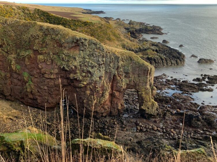
A sign pointed right, but instead of taking the steps down to the shore, I stayed high, walking along the field edge above the cliffs. The rocks below were dotted with anglers trying their luck. The path stuck by the fence, eventually taking a turn uphill around an inlet where the spectacular formation known as Elephant Rock first comes into view.
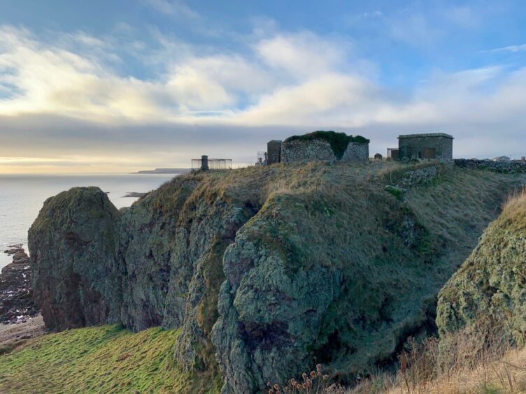
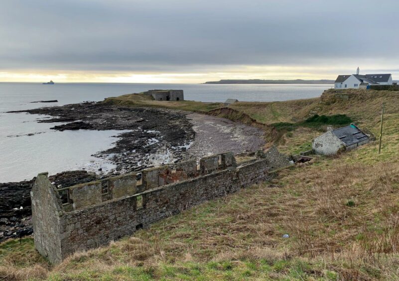
On the skyline is the small, lonely cemetery which contains the famous gravestone with an inscription that suggests a man died 19 years before he was born (1859 – 1840). After passing the cemetery, the path twisted along the top of the cliffs with more views of Elephant Rock before heading down towards Boddin Head. The structure out on the Point is an old limeklin which dates back to the 1700s.
The circuit is completed by working your way back to Ferryden along minor roads. After passing the house at the end of the path to the right, turn uphill and cross the railway bridge to reach a junction. Head straight over and then make your choice for the inward journey.
ROUTE
1. Head east along road shore road from parking, turn right between houses at signpost for Lighthouse and then go left along narrow path in front of shed to reach road and follow east to Scurdie Ness.
2. Pass lighthouse on left and go through gate to follow grassy path above shoreline. When you reach fence, go through gate and cross next field towards Mains of Usan.
3. Use gate to left of farm buildings to turn left on muddy track, passing ruined buildings and old mausoleum. Keep following track to headland, then just before Usan, pass through double metal gate on right and turn left on track along edge of field.
4. Turn left into lane at end of track and follow it down past cottages towards ruined tower and entrance to salmon farm where sign directs you right (signed: Beach Access). Don’t go down steps but instead follow path along edge of field above cliffs with fence on your left.
5. Keep following path as it swings uphill to right towards small clifftop cemetery with views down to Elephant Rock on left.
6. Turn left and pass cemetery, continue on path along cliff edge to reach house at Boddin.
7. Pass right of house and head uphill on minor road, crossing rail bridge, then across road junction to go straight on (ignoring sign for Usan), and follow road round to right following signs for Ferryden.
INFORMATION
Distance: 11.5km/7.25miles
Ascent: 210m/690ft
Time: 3-4 hours
Grading: Scenic coastal walk suitable for all abilities and ages using paths, field edges, farm tracks and quiet minor roads. Extremely muddy in places, good footwear essential. Route passes through cattle fields, dogs must be kept under close control.
Start/finish: William Street car park in Ferryden (Grid ref: NO 717567).
Map: Ordnance Survey 1:50,000 Landranger Map 54 (Dundee & Montrose); Ordnance Survey 1:25,000 Explorer sheet 382.
Tourist Information: Tourist Information: VisitScotland, Dundee iCentre, 16 City Square, Dundee, DD1 3BG (Tel 01382 527527).
Public transport: Regular bus (X7) and train services to Montrose between Dundee and Aberdeen; also bus (No 47) from Montrose to Ferryden.
