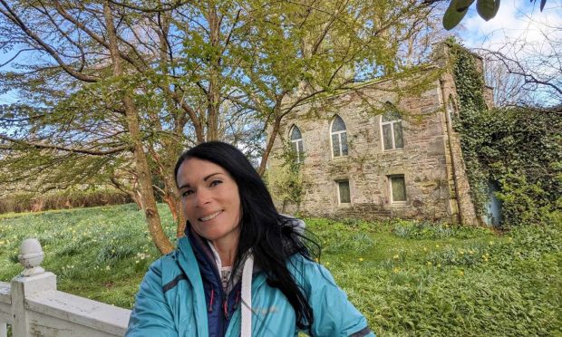
Spittalfield circular, Perth & Kinross
Lying to the east of Dunkeld, the charming settlements of Caputh and Spittalfield are linked by a network of paths and tracks that offer a fine half-day circuit with a return along the banks of the Tay.
On this occasion I decided on a start from Spittalfield and a longer loop spending more time following the river, but you can just as easily begin in Caputh or tailor the direction and length of the walk to your needs.
Both are on a regular bus route and there’s parking for six or so cars at opposite the Walkin’ Cafe on the main road at The Green. A former weaving village, Spittalfield was planned around this square in 1766.
I passed an old stone mileage marker then followed the more modern signpost down the side of the square and up a rough lane, at first between cottages, then along a fenced corridor.

The track swung left then right beside a stretch of woodland before twisting round towards Millhole. There were goldfinch feeding on the stalks at the field edges, rabbits lolloping along and across the track.
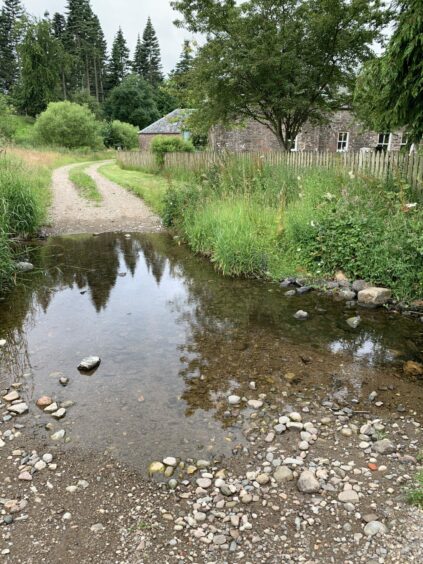
The small ford needed a bit of fancy footwork to avoid getting wet, the remnants of heavy overnight rain still in evidence. After passing the old mill and steadings, I reached another prominent sign, arrows offering multiple choice of destination.
I turned left, the lane leading out past Culthill to cross a minor road, and then followed the track uphill. There’s a signpost here but it’s easy to miss, so keep right to avoid walking up to the farmhouse, instead going between barns to reach a gate and the continuation of the route.
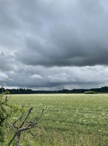
The dark skies which had been so disappointing to start now added drama to the long view over the fields and surrounding countryside. The first option to cut the walk short soon presented itself, a left turn down to Stralochy and back to Caputh.
I carried straight on taking the track past Whins of Fordie and then on a grassier surface through sheep fields down to Thornton and out on to the A984.
Care was needed for the short walk along this road and I was grateful for the small verge on the right-hand side before reaching the track heading into the woods and down to the river.
The path was obvious but overgrown in the initial stages but gradually improved on the stretch along to Caputh Bridge. The signed route took a left turn just before the bridge, heading up into the village before turning right again just after a postbox.

The next option to shorten the day came at Easter Caputh: those wishing to conclude the walk should go straight on then left into Spittalfield, while anyone opting for the longer version should turn right and head back down to the banks of the Tay.
The path meandered along the line of the water, eventually joining a track and passing the entrance to Delvine Gardens before turning left at Nether Aird.
After going to the right of the old farm buildings of Delvine, the track came to a junction. A right turn along a tree-lined avenue brought me out on the A984, and a short road walk back into Spittalfield.
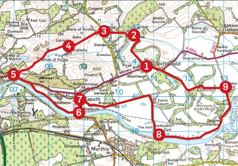
ROUTE
Turn right at end of village square (signed for Cuthill and Newtyle) then go between cottages on rougher track which heads north-east before twisting round to Millhole.
Continue west past farm buildings and follow track as it turns uphill to right to reach junction (signpost). Turn left and walk past Cuthill and out to minor road.
Cross and take track opposite to Mains of Fordie. Bear right to walk between farm sheds then continue on track between fields to signed junction just past Locholly.
This is first option to shorten walk by turning left past Stralochy for Caputh. Otherwise, keep straight on passing Whins of Fordie. Go through metal farm gate into field dropping towards Thornton, crossing two stiles to emerge at A984.
Turn left and walk along A984 (right side is best with verge) for about 500m to track entrance on right, cross stile to walk down to riverside path which eventually leads to Caputh Bridge.
Turn left before bridge following track to B9099. Turn left again and walk along pavement towards Caputh. Turn right just past bus shelter and postbox (signed Spittalfield).
Follow track to Easter Caputh (signpost). For shorter route, continue straight on then turn left and walk back into Spittalfield. For longer route, turn right for riverside path. Ignore first left turn for Inchtuthil Cottage and take next one (arrow) and then keep right for path down to river.
Stick close to water on grassy path until it joins track and follow up towards entrance to Delvine Gardens. Keep right and then walk up to Nether Aird and turn left.
Pass to right of old farm buildings at Delvine and follow track to junction. Turn right and walk out to A984 for short return to Spittalfield.
INFORMATION
Distance: 17.5km/10.5miles (shorter version 11.5km/7mls)
Ascent: 145m/50ft
Time: 4-5 hours (shorter 3-4 hours)
Grading: Low-level circuit linking villages of Spittalfield and Caputh on farm tracks and lanes plus grassy paths along the River Tay. Some short sections of road walking which need care. Suitable for all fitness levels with options to shorten route. Sheep and cattle will be encountered, dogs under close control.
Start/finish: Spittalfield village square (Grid ref: NN 107408) parking beside bus stop across the road from Walkin’ cafe.
Map: Ordnance Survey 1:50,000 Landranger Map 53 (Blairgowrie & Forest of Alyth); OS 1:25,000 Explorer sheet 381.
Tourist Information: VisitScotland, Perth iCentre, 45 High Street, Perth, PH1 5TJ (Tel 01738 450600).
Public transport: Bus service from Perth to Spittalfield (No 34).