Villagers near Pitlochry are angry at Scottish Woodlands for choosing a logging route that its own officer rated ‘unsafe’ in a damning assessment.
The organisation is currently deciding where lorries should transport timber harvested from the Ballyoukan plantation east of Pitlochry.
Scottish Woodlands has informed the community council that its chosen route is Ballyoukan Hill and General Wade’s Military Road.
This would mean that, over a 10-year period, 4,800 loads of timber would be transported via 10,000 lorry movements through East Haugh, West Haugh, Ballyoukan, Dalshian, Donavourd and Croftinloan.
The plan has caused both anger and bafflement among locals.
The anger is rooted in safety concerns regarding lorries travelling along the steep and narrow Ballyoukan Hill and turning blindly onto General Wade’s Military Road in East Haugh.
The bafflement is due to Scottish Woodlands criticising this very notion in a damning assessment last year.
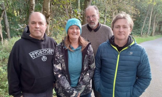
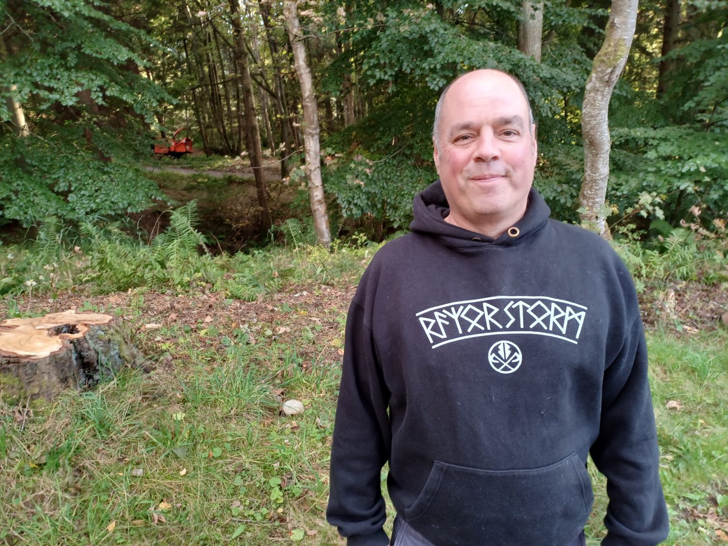
“The report was damning,” said Jason Young, who is part of a campaign to stop Ballyoukan Hill being on the logging route.
Damning report outlined ‘blind corners’
In May 2021, Scottish Woodlands‘ forest manager Jillian Kennedy presented eight transport options in a briefing paper.
It comprehensively dismissed option three, along Ballyoukan Hill to East Haugh.

Ms Kennedy wrote that the route “is unsuitable for timber transport due to several sensitivities.”
She added: “Although suitable for light vehicles, the tarmacked access traverses 765m of shared residential private way, with excessive gradients, blind corners, hidden driveways, soft verges, and minimal laybys (which are currently only usable for light vehicles, and only on the top half of the road).
“The access is structurally vulnerable to HGV usage, directly adjacent to watercourses and does not meet current timber haulage road width standards, particularly at bends.
“There is no pedestrian pavement which increases the unsafe nature of this haulage option and the road is bounded by sections of retaining wall which are structurally unsound.”
Assessment said route ‘poses a danger’
The assessment then described General Wade’s Military Road as “vulnerable” and says the route would include “unfavourable junctions in either direction for accessing the A9.”
It added: “The haulage route would therefore be required to cross under the low railway bridge at East Haugh and be required to move through the length of Pitlochry.
“The access onto General Wade’s Military Road is also very narrow and could likely prove difficult to negotiate.
“The line of sight from here is not adequate for the manoeuvres required to exit the road end at Ballyoukan, and therefore poses a danger to oncoming traffic.
“Even with significant modifications the road would not be suitable, only passable.”
The assessment recommended option one, which would go via Moulin Moor onto a recognised timber route, the A924, north of Pitlochry.
It stated that this had “stakeholder support” from landowner Atholl Estates.
U-turn – ‘very strongly’
However, Scottish Woodlands is now believed to favour the very option it rubbished.
It has informed Pitlochry and Moulin Community Council that Ballyoukan Hill is the preferred route and surveyors have recently made regular visits to the area.

Fergus McCallum, the community council’s deputy secretary, says Scottish Woodlands has listed two other options.
These are via the Forest of Clunie to the south-east and Kindrogan Forest to the north-east. The latter is the community council’s preference.
“The community council has met with Scottish Woodlands a few times and it has come across very strongly that Ballyoukan Hill is the favoured route,” Cllr McCallum said.
“The road looks too steep and narrow but Scottish Woodlands said we can have an engineer report.
“But we haven’t seen that yet. That would make it easier to make a decision.
“We prefer the Kindrogan Forest route but we don’t want to cause problems for other community council areas, which is why it should be looked at by Perth and Kinross Council.”
‘Heritable right doesn’t make it safe’
Residents have begun a campaign to stop the timber lorries from using Ballyoukan Hill.
Their Facebook page has more than 200 members.
Members suspect that money is the reason for not opting for other routes, because they would involve paying landowners.
They also expressed concern at a lack of consultation.
“There are safe routes that can be used but they won’t because they cost money,” Mr Young said.
“The Ballyoukan Hill route is free because Scottish Woodlands says it has a heritable right to use it.
“I challenged them on it, saying this doesn’t mean it is necessarily safe to use it.”
‘This is happening all over’
The dismay from residents follows a recent story in The Courier about a new timber transport route through Comrie that was approved by using information gathered via Google Maps.
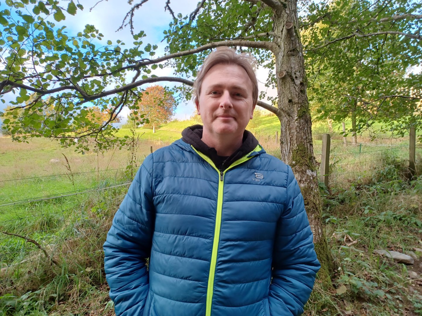
Fellow campaigner Adam Lloyd said: “We want strategic leadership from Perth and Kinross Council to recognise that we have lots of forests coming out over the next 10 years or so so let’s find a route that keeps them away from communities.”
Mr Young added: “The bigger picture is that this is happening all over.
“It’s divide and conquer – take on a small community, where there’s a lot of elderly who won’t be on email and Facebook.”
Perth and Kinross Provost Xander McDade, councillor for Highland ward, says he is taking action against Scottish Woodlands.

He said: “Like local residents I am concerned about the lack of proper engagement around these proposals.
“Scottish Woodlands had committed to come back to me and other stakeholders once they had spoken to neighbouring land owners about alternative options, but have failed to do so.
“As a result of their continued poor community consultation I am writing to Scottish Forestry as the regulator to express my own and wider concerns about what appears to be Scottish Woodlands’ continued refusal to properly engage with the community and their representatives.
“I have been speaking to council officers about the limited powers the council does have to control aspects of this proposal and I will be seeking to ensure we use those limited powers to their full potential.”
Scottish Woodlands – ‘current and only access’
Charles Bushby, regional manager for Scottish Woodlands, explained that the woodlands were planted in the late 1980s to produce commercial conifers.
“As part of the acquisition a heritable right of access was purchased which joins the old A9 at East Haugh,” he added.
“This is the current and only access to Ballyoukan Forest, which provides a legal route into and out of the forest for all forestry purposes, which includes the movement of timber lorries.”
He stated that the Moulin Moor route was identified but, “prior to discussing terms, this became unavailable to us.”

Mr Bushby continued: “Thus we have commissioned a civil engineer to provide us with a report on the suitability of the access road to the forest as we recognise that it is steep with some difficult corners.
“The owners’ heritable right of access enables us to make improvements to this access road but in the event that the civil engineer deems it to be unsuitable we are considering other options all of which are commercially sensitive at this time.”
Alternative A924 route?
Moulin Moor has now been ruled out but an alternative route via the A924 is still an option, Mr Bushby said.
“We have approached our neighbours to determine if another suitable access is possible and we have yet to survey some of these potential routes,” he added.
“Until we are offered another access by a landowner and, if we are granted permission to build a suitable road, we are unable to provide local residents with further updates.”
Conversation