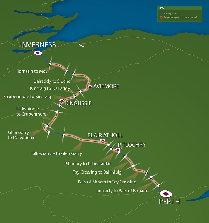
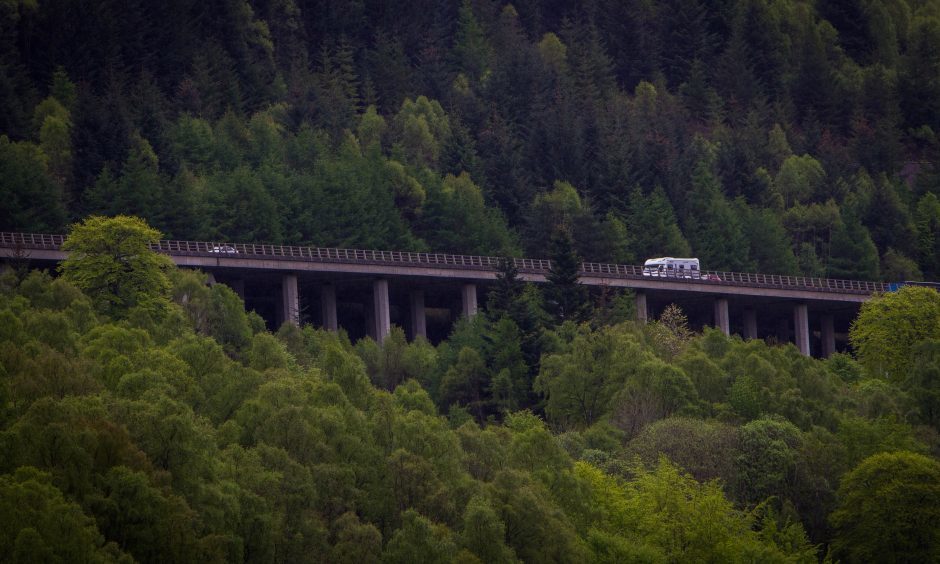
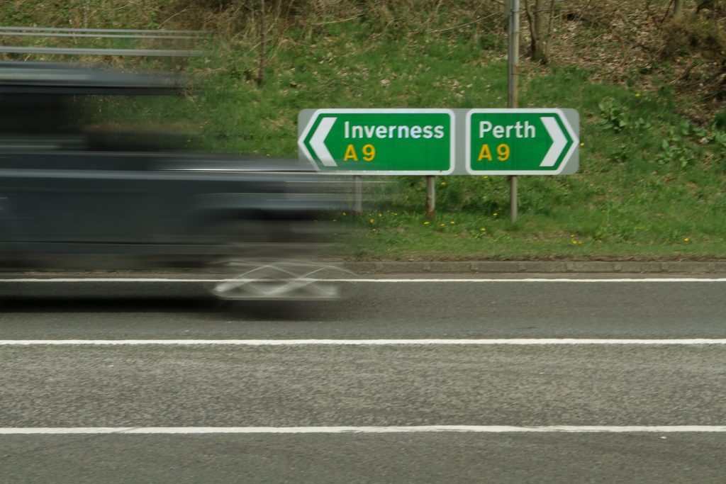
Could the dualling of the A9 – part of a £3 billion upgrade of the Perth to Inverness road – put the Killiecrankie battlefield at risk? Michael Alexander reports.
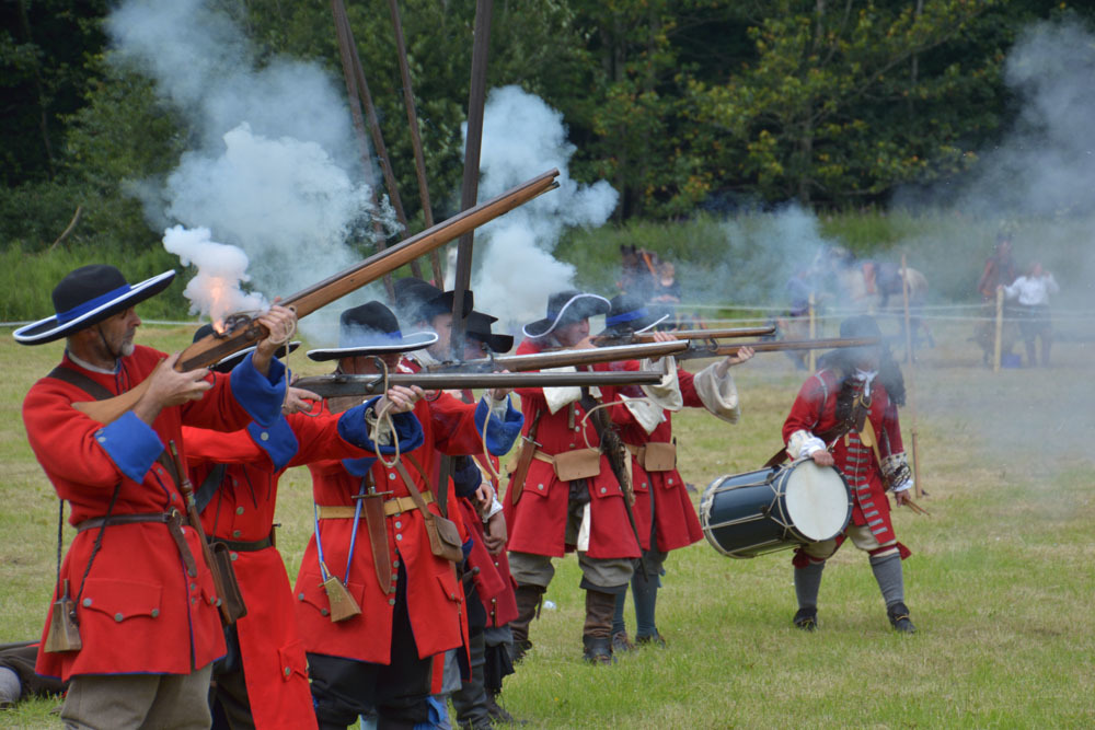
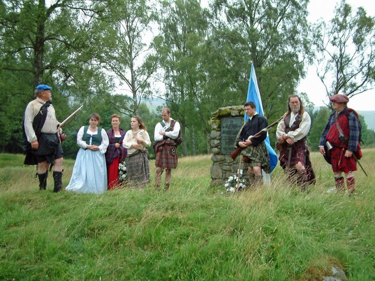
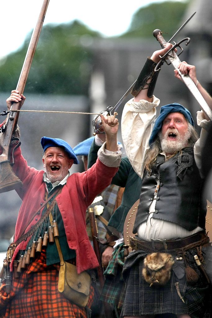
It was the bloodiest battle in the Jacobite uprisings which resulted in the deaths of an estimated 600 Jacobite and 1500 Scottish government soldiers.
But could the site of the Killiecrankie battlefield in Perthshire be irretrievably destroyed by plans to dual the A9?
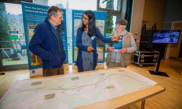
That’s the fear of local history and events group Soldiers of Killiecrankie which has formally commented on Transport Scotland’s preferred route via a public consultation which closes on Tuesday.
Campaigners – including descendants of some of those who fought in the battle – told The Courier they do not believe the transport authority has “properly thought through how best to route the new carriageway through the battlefield”.
However, Transport Scotland says it has “carefully developed” its plans to dual the route from Killiecrankie to Glen Garry taking into account available research and specialist advice. It has also said it is willing to discuss any additional information that supports fresh concerns.
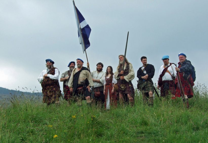
The Battle of Killiecrankie, which took place on July 27 1689, was fought between a combined Scottish and Irish Jacobite force loyal to King James VII and II and government troops supporting the Protestant King William.
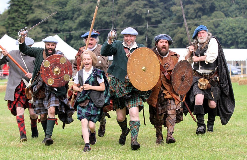
The Jacobites, led by Bonnie Dundee, were mainly Highland Scots, gathered by the clan chief Cameron of Lochiel, while the government troops under the command of the Highlander General Hugh Mackay of Scourie, were mostly Lowland Scots.
The Jacobites achieved a stunning victory but suffered heavy casualties, including their leader.
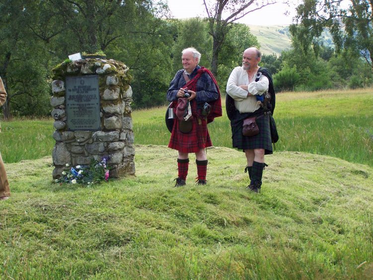
The battlefield has been included in the Inventory of Historic Battlefields in Scotland and protected by Historic Scotland under the Scottish Historical Environment Policy of 2009.
But according to Killiecrankie man James Rattray and his brother Rulzion – whose six-times great grandfather James Rattray fought at Killiecrankie and whose four-times great grandfather also called James Rattray fought at Culloden in 1746 – that heritage is now under threat.
Mr Rattray and his brother, whose ancestors moved to India after the Jacobites’ defeat at Culloden, have been mapping out Killiecrankie battlefield with flags around Urrard House, south of the A9.
Most of the killing took place on the government line here.
But very little archaeological excavation has taken place and they fear the site will be irretrievably lost.
“Despite the A9 passing through the battlefield in the late 1970s, Killiecrankie battlefield remains one of the best preserved Scottish battlefields and still contains a lot of information yet to be discovered,” said James, 66, a visitor guide publisher who lives on the battlefield.
“I’m not against the A9 – the dualling has got to happen. But the concerns I have now are that I don’t think the route has been properly thought through. Why not widen the road into the field on the other side that was already disturbed in the 1970s?
“The battle is a hugely important part of Scottish history and has the potential to become like another Culloden site with a proper visitor centre. But once the site has gone there is no bringing back the destruction.”
James’ brother Rulzion , 65, of Pitlochry, a local historian who lectures on oil and gas sector management, and has investigated the battlefield over 20 years, has made an on-site video which highlights concerns.
Specifically at risk, he says, is the area where the centre of the battle took place named Rinrory – the flat sloping field including Urrard House – the grounds of which were occupied by General Mackay and his men with Viscount Dundee looking down from above.
With the Highlanders depending on hand-to-hand-combat, most of the killing took place on the government line just to the south of the current A9 – as identified by a Two Men in a Trench documentary in 2003 – and this is the line, campaigners say, that would be taken away by this new proposed development. It’s a concern shared by other local residents who’ve claimed the site will be ruined.
Transport Scotland said the preferred route, announced in March 2016, was based on an assessment which locals and road users had an opportunity to comment on at public exhibitions in May 2015.
A Transport Scotland spokesperson said: “As the existing A9 already runs through the site of the battlefield, any of the dual carriageway widening options, for example widening the existing road on its northbound side or widening the existing road on its southbound side, will have some impact on the battlefield.
“We have therefore carefully developed our plans to dual the route between Killiecrankie to Glen Garry taking into account available research and specialist advice, including consultation with Historic Environment Scotland (HES).
“This has also included consultation with locals dating back to 2012. As part of the design work, we conducted a metal detecting survey of the battlefield in 2015 to support the specialist advice we had received and help inform the design and manage the impacts.
“As part of our ambitious A9 dualling programme we identified the preferred route for this section in March 2016 and are now taking forward the next stage of design with the draft road orders published for formal comment in November 2017 and public exhibitions held for locals and road users on December 13 and 14 2017.
“Anyone can comment on our plans and the deadline for comment is January 23. “Representations in relation to the draft orders or environmental statement, including objections, can be made in writing to Transport Scotland.
“We will then consider all comments received as we further develop our plans for this section of the A9.
“The route through the battlefield has been developed using the available interpretation of the battle.
“We would be happy to discuss any additional information or advice the group have received to support their concerns.”
A spokesman for the National Trust for Scotland, which runs the nearby Killiecrankie Visitor Centre, said: “We have been in discussions with Transport Scotland and have raised our concerns and opinions and are confident, given the constructive stance they have adopted so far, that they will take these on board.
“ It is our view that it is essential that further quality archaeological work be undertaken allowing for further evaluation and mitigation.”