The Ice Age would indirectly play a key role in the collapse of the ill-fated first Tay Rail Bridge.
The bed of the Tay had millions of tonnes of unstable material brought down two million years ago causing serious problems of instability for any bridge builder.
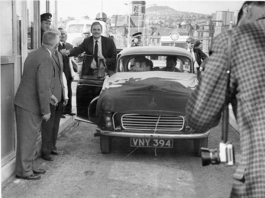
In 1854, Thomas Bouch brought forward a plan for bridging both the Firth of Tay at Dundee and the Firth of Forth at Queensferry.
He was the Engineer and Traffic Manager of the Edinburgh, Perth and Dundee Railway, and his plans had been inspired by an accident to one of the ferries in 1849.
His directors would not allow him to carry them out at the time before the idea was revived and several possible sites were chosen.
Bouch’s original design incorporated 89 spans resting on brick columns.
A layer of compacted gravel – laid down by glacial meltwaters – was misinterpreted as bedrock by surveyors.
As a result, Bouch was forced to redesign his bridge in order to lighten the load on the foundations and the brick piers were replaced with cast iron columns.
Those iron columns were of such bad design, and so imperfect in construction, that they were unable to sustain the weight required of them.
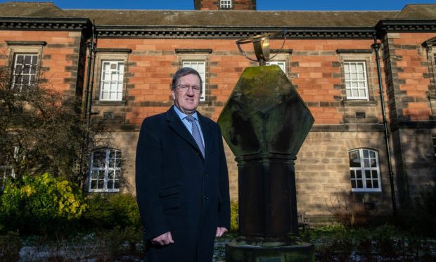
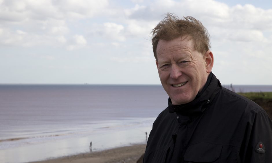
Professor Rob Duck, Emeritus Professor of Environmental Geoscience at Dundee University, has spent almost his entire working life specialising in coastal and estuarine studies.
“During the last Ice Age (Pleistocene), when the sea level around Scotland was about 100m lower than today, glaciers in the Tay and Earn valleys eroded down deeply into the bedrock,” said Professor Duck, who graduated in geology from Dundee University in 1977, and is also chairman of the Tay Estuary Forum (Local Coastal Partnership).
“After the ice melted, when the sea level rose, the Tay Estuary became refilled with deposits of clay, sand and gravel.
“This resulted in what is known as a buried valley beneath the estuary but the details of the depth to bedrock and the nature of the infill have only really emerged since the site investigation for the Tay Road Bridge in the early 1960s.
“Almost a century earlier, in 1866, the site investigation for Thomas Bouch’s railway bridge began under the supervision of Jesse Wylie of Linlithgow.
“The report suggested that bedrock was to be encountered at shallow depths below the bed (5-7m or so) along the length of the proposed bridge (the longest in the world) and Bouch designed his structure accordingly.
“The plan was to support the bridge’s girders upon solid brick uprights known as piers which would be founded onto solid rock.
“However, without extensive knowledge of the materials that can be found in buried valleys such as that below the Tay, a layer of compacted gravel – laid down by glacial meltwaters – was misinterpreted as bedrock.
“This was only discovered after construction of the bridge was well under way when serious problems were encountered.
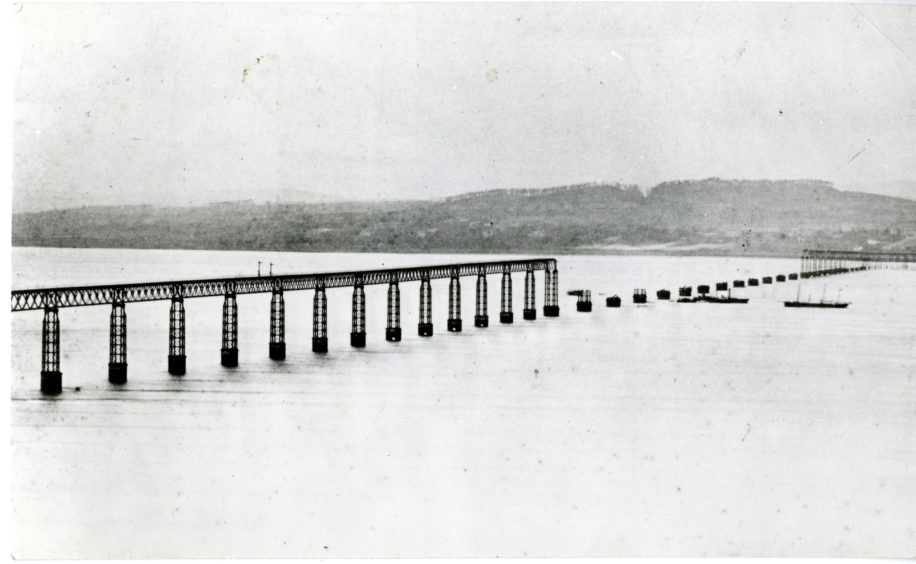
Designed by Thomas Bouch, the first bridge was dangerously flawed. The lightweight lattice design did not take into account the frequent high winds over the Tay.
In 1883 a second, replacement bridge was begun. This image shows the contrast in the design of the old & new piers. pic.twitter.com/ktmUP9aNLy
— Historic Environment Scotland (@HistEnvScot) June 1, 2020
“At the Fife end, off Wormit, the first 14 piers along with their girders, were built according to Bouch’s original plan.
“But when piers further north were being constructed, no solid foundation could be found and their bases collapsed into soft mud.
“Elsewhere along the line of the bridge the same thing happened so Bouch was left with no option but to redesign the structure.
“Requiring lighter weight uprights to support the girders, brick piers were substituted with sets of cast-iron columns above high water mark, cross-braced with wrought iron bars and the rest, as they say, is history.
“But whatever Bouch has been blamed for in the 1879 disaster, the faults in the superstructure of the bridge and its subsequent maintenance; his foundations, most of which do not reach bedrock, were excellent.
“Although battered and bruised by waves and ice floes for 140 years, the stumps of the old piers are still there, visible at all states of the tide and they are a powerful illustration that Bouch was by no means completely incompetent.”
Battered by a ferocious storm, the 13 high girders of the crossing over the Tay estuary crumbled into the river below, carrying with them a train and all its passengers and crew.
After the fall of the bridge very little time was lost by the directors of the North British Railway Company in preparing plans for its reconstruction.
The old piers were allowed to remain in position so long as they were cut down to high-water level and were provided with visible warnings for passing shipping.
The new bridge took just five years to build, thanks in most part to special pontoon equipment with hydraulic legs which were designed by William Arrol.
Various arrangements of these hydraulic pontoons were used to sink and construct the brick and concrete foundation columns, to erect the wrought iron piers, to move the old girders into position for the new bridge, and to erect the new navigation spans.
The second Tay Rail Bridge was opened to a more subdued celebration on June 20 1887.
Improvements in site investigations before Tay Road Bridge opening in 1966
Professor Duck said drilling and site investigations had improved greatly by the time the Tay Road Bridge was built.
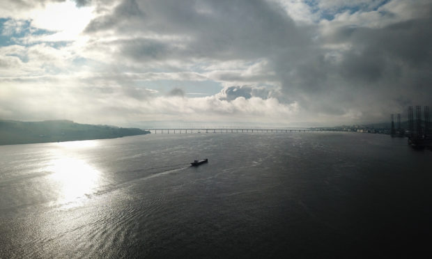
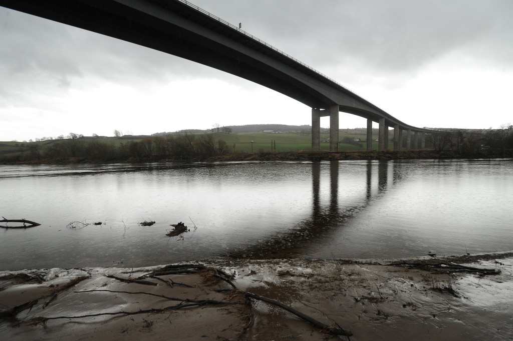
When it opened in August 1966, the Tay Road bridge was the longest river crossing in the country at 2.25km in length.
The piers are founded on bedrock where the water is shallow, and driven well beneath the bed.
The girders were constructed in the Dundee yard and rolled along a low-level service bridge before being lifted into position.
Professor Duck said: “Immediately off Dundee, just to the east of the Tay Road Bridge are the familiar small ‘islands’ of the Fowler and Beacon Rocks – surface outcrops of the local lavas, indicating bedrock at shallow depth.
“By the time that this structure was proposed, drilling and site investigation techniques had improved greatly.
“Bedrock was, in fact, found to plunge to a depth of over 70m below sea level between Dundee and Fife, approximately beneath the main navigation channel of the estuary.
“So, the Tay’s buried valley contains a thick and complex infill of ice-derived deposits.
“The Road Bridge site investigation was one of the first in Britain to augment drilling with the then new technique of seismic reflection profiling enabling a much more thorough understanding of the various materials, in particular the complexity of their layering and the range of sizes present – from clay to boulders.
“It too, for much of its length is founded on the same layer of compact gravel as the railway bridge.
“Further investigations in the mid-1970s for the Friarton Bridge have shown that the buried valley is around 45-50m deep below Perth and Newburgh.
“It was in this reach of the Tay that Robert Stevenson and Sons, during a massive dredging programme to improve navigation, carried out from 1834 to 1842, used cranes to remove boulders weighing around 50 tons.
“So, the Tay demonstrates not only the great thicknesses but also the enormous range of sizes of glacially-derived deposits – and this is typical of all such glacially scoured estuaries.
“There is little wonder that, even today with the most up-to-date techniques available, site investigations in such areas can sometimes be misleading and give rise to the term ‘unforeseen ground conditions’.”