Crail to Kingsbarns circuit, Fife
There’s always something special about an east coast walk on a perfect winter day: flawless blue hosting a brilliant sun, the sharpness of the air producing perfect clarity for miles along deserted beaches.
It was the calm after the storms, but despite the cessation of meteorological hostilities I felt it wiser to stay on lower ground and away from woodland walks.
A glance at the maps showed a fine varied circuit from Crail using the Fife Coastal Path as far as Kingsbarns and a return cutting through fields via the line of the old St Andrews railway. It’s important to check tide times, though. Some parts of this route can be impassable during high water.
Of all the beautiful East Neuk fishing villages, Crail is probably my favourite. It seems I am in good company – Robert the Bruce designated it a royal burgh in 1310.
There is plenty of parking along both sides of Marketgait Street and a short stroll along the main thoroughfare and then a left down Shoregate leads to the picturesque harbour.
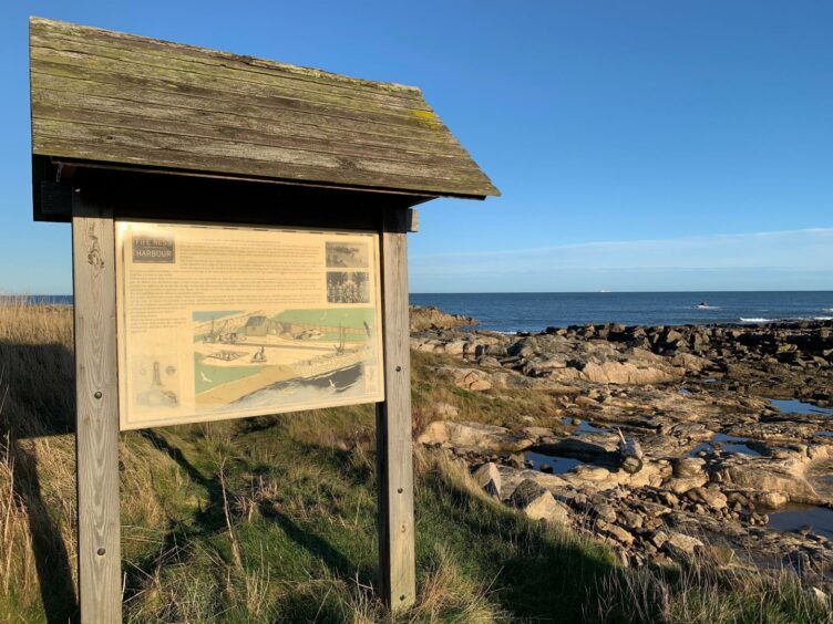
The path is well signposted, the attractions instantaneous. First up is a 17th Century sundial, moved from its harbour location to the present position in 1890. Sitting alongside is a wooden identification panel pointing out horizon landmarks. A few steps further on is the important archaeological site of King’s Mills.
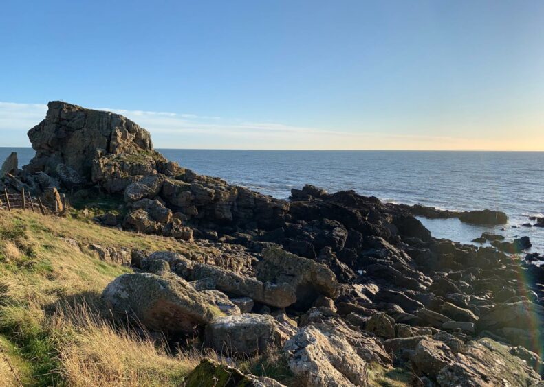
The route weaves its way along the coast, round the inlet of Roome Bay and then through the sprawling caravan park to reach the entrance to Kilminning Nature Reserve with its prominent ‘castle’. It’s said that during World War II the RAF used this rock for bombing practice using bags of flour.
I exited the reserve at Dane’s Dyke, a name which gives life to tales of Viking raiders, to next reach Ness Point and its disused coastguard station. There’s also a birdwatcher’s hut and a wartime pillbox, built by Polish engineers as part of Crail airfield defences and now a protected monument.
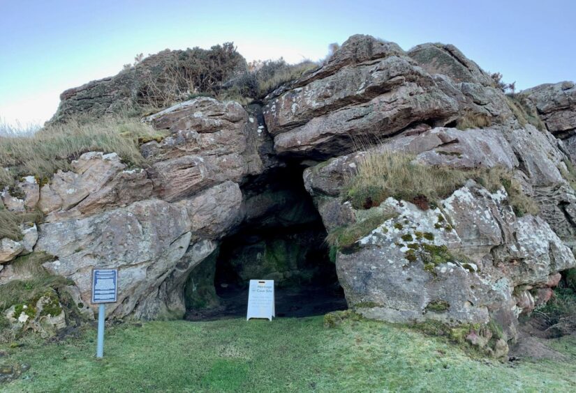
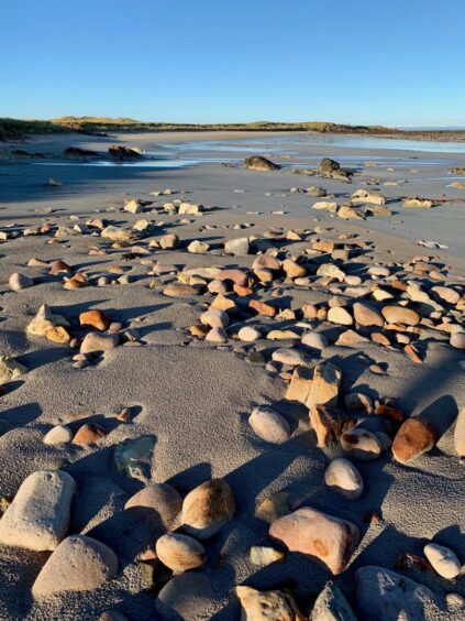
Beyond this point, the path turns north-west, passing Constantine’s Cave where legend says a Scots king died in battle with the Danes, then running along the edge of golf courses. There are some necessary short diversions on to the shore, but if the tide is out there’s nothing to stop you staying down longer.
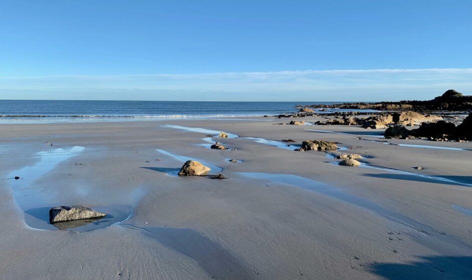
The path cuts inland and around the fairways to enter woodland at Cambo before again dropping nearer the shore to Kingsbarns. This is where I parted company with the coastal path, turning left up the minor road into the village and walking up to the A917.
Directly opposite is a muddy farm lane, a complete contrast to the rock and sand of the coast. I passed a sliver of trees and carried on along the edge of an even muddier field before reaching drier ground and a toppled core path sign for the old rail bed of the St Andrews to Anstruther line.
Opened in 1852 under the auspices of Thomas Bouch – the man implicated in the Tay Bridge disaster – the line had a sometimes troubled history. It closed in 1965 as part of the Beeching cuts.
The track makes for fast walking, passing between fields and farm entrances and through a few gates to reach the B9171. A brief bit of road walking leads to the A917 and a careful crossing to another core path sign which points to a path leading round the field edges and back to the start.
ROUTE
1. Walk south from parking to roundabout then continue along main street (A917) before turning left down Shoregate towards harbour.
2. Turn left again up few steps to join Fife Coastal Path (signed) which goes round Roome Bay to entrance of Sauchope caravan park.
3. Pass through caravan park, watching for sign on right directing you on to shore. Shortly after, go through wooden gate into Kilminning Nature Reserve with prominent rock known as Kilminning Castle on right.
4. Continue north-east on path, passing the old coastguard station and pillbox at Fife Ness, beyond which the route turns north-west.
5. Keep following the coastline along the edge of golf courses and some sections of beach walking past Cambo Ness, and then Cambo Sands to reach Kingsbarns Beach car park.
6. Head for top left of car park and take minor road uphill into Kingsbarns until you reach A917.
7. Cross road and take farm lane opposite. After passing strip of trees on left, this goes along edge of field then continues to meet old St Andrews rail line.
8. Turn left and follow line until it reaches B9171, then turn right for short road walk to A917.
9. Cross to pick up signed path which runs along edge of fields before swinging right past cemetery on way back to parking.
INFORMATION
Distance: 17km/10.5miles
Ascent: 160m/525ft
Time: 4.5-6 hours
Grading: Coastal path with some beach walking, farm tracks, one short section on minor road. Suitable for most ages with reasonable fitness but may be too long for young children. Can be shortened at Cambo, also options for returning by bus. Wet and muddy in places, good footwear advised. Route passes through farmland, golf courses and bird nesting sites, dogs under strict control. NB: Some sections may be impassable during high tides.
Start/finish: Parking in Marketgait Street, Crail (Grid ref: NO 614075).
Map: Ordnance Survey 1:50,000 Landranger Map 59 (St Andrews); Ordnance Survey 1:25,000 Explorer sheet 371.
Tourist Information: VisitScotland, St Andrews iCentre, 70 Market Street, St Andrews, KY16 9NU (Tel 01334 472021).
Public transport: Regular bus service to Crail and Kingsbarns from St Andrews.