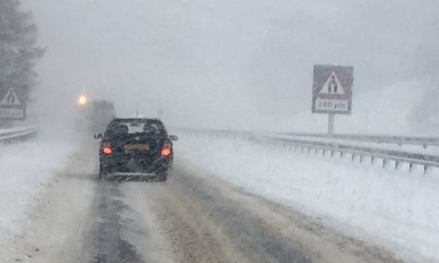
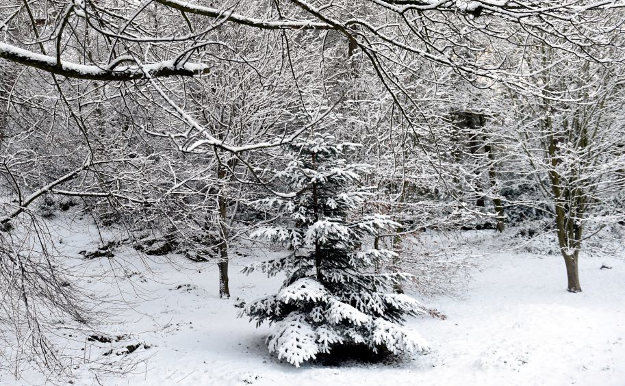
A blast of Arctic weather brought freezing temperatures to Scotland on Friday, grinding trains to a halt and causing white-out conditions on roads.
Temperatures plummeted to a low of -3.8C in Renfrewshire in the wake of Storm Caroline on Friday morning and are forecast to plunge as low as -8C in regions which have experienced snowfall into Saturday.
Despite the odd flurry, Tayside and Fife missed out on the worst of the winter weather once again.
However the A93 Perth to Braemar road was forced to close at the Spittal of Glenshee due to snow on Friday morning, while the B974 Fettercairn to Banchory road, or Cairn O’Mount, was also briefly shut as a result of the conditions.
UPDATE: Snow continues to fall in the North. #Perth – Inverness services will be affected for the rest of today.
Check your journey here before travel ? https://t.co/gv0MwedF0k ^CT— ScotRail (@ScotRail) December 8, 2017
Journeys including the 6.10pm from Glasgow to Inverness were terminated in Perth with others services experiencing delays of 45 minutes due to a signalling fault said to be brought on by the snow.
A ScotRail statement said conditions had been “a challenge”, adding: “We have some signalling problems at a few locations between Carrbridge and Inverness which are suspected to be caused by snow conditions.”
The freezing temperatures prompted bosses at the Tay Road Bridge to warn motorists to “take extra care” on the crossing.
Strathallan School has been forced to cancel all of Saturday’s eight home fixtures against Dundee High due to frozen pitches.
Aberdeen, Aberdeenshire, Moray and the Highlands and Islands experienced the most snowfall, with a number of schools across the north and north-east forced to close.
A Met Office yellow warning of snow and ice remains in place for Tayside and Fife until 6pm on Saturday, however forecasters said there was only a “5%-6% chance” of snow for much of the region.
Spokeswoman for the organisation Nicola Maxey said: “If we look at Saturday temperatures are hovering just above freezing at 2C or 3C at most during the day.
“You’ve got some quite strong west and north-westerly winds which are causing wind chill, although temperatures get to around 2C it is going to feel more like -4C or -5C.
“There will be some sunshine around, but it is not going to feel warm. We have an Arctic maritime air mass. Storm Caroline has moved out of the way and allowed cold air to sink from the north.
“Sunday is a very similar day but with more cloud and less sunshine. Overnight temperatures into Saturday and into Sunday will be at least -4C and probably below that in rural areas, over higher ground where there is lying snow in particular.
“The warning area is quite a big one for snow and ice. Any rainfall over the weekend or showers will fall as snow because the temperatures are so cold. There is not a lot of moisture in your forecast. There is a 5%-6% chance (of snow).
“The (yellow) warning is valid until 6pm on Saturday. You are looking at, quite widely, 2cm-3cm of snow. There is a chance of 10cm-20cm over higher ground in northern Scotland.”
An amber warning of snow has also been put in place for Wales and parts of England on Sunday.
Meanwhile Scottish and Southern Electricity Networks (SSEN) said it had restored power to more than 18,000 homes throughout the course of Storm Caroline, which brought widespread chaos to Scotland on Thursday.
