Dundee has long been known as the City of Discovery.
And now the city’s young people have the chance to discover the skill of orienteering, thanks to Dundee Active Schools – an organisation working with schools and communities in the city.
Dundee Active Schools has teamed up with Scottish Orienteering to create more than 20 routes across for the public to take on.
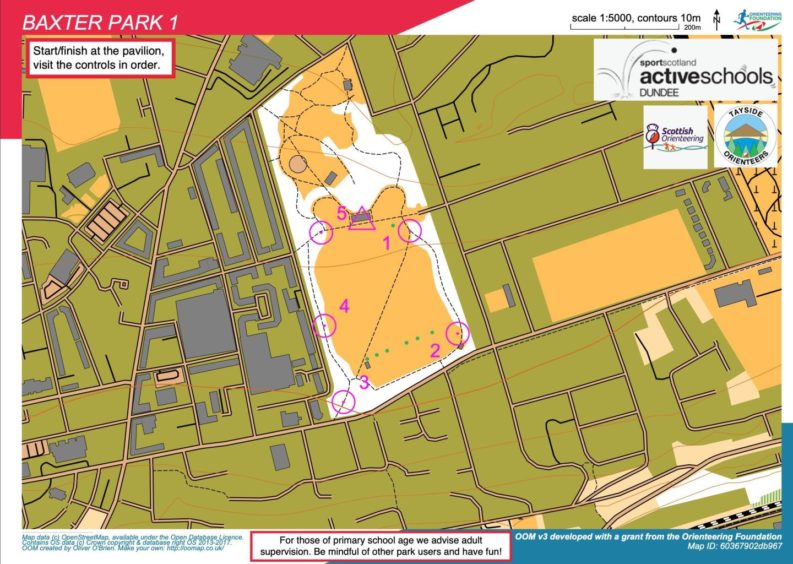
The task is simple. Using detailed maps, you have to navigate a course of ‘control points’ on ‘postbox challenge’ trails.
These could be distinctive locations, such as the tennis courts in Baxter Park or, as the name of the challenge suggests, certain postboxes in the urban areas of the city.
There’s no set route between the controls, so you have to decide which way to go and find your way there.
All areas of the city
The city’s parks are the focal point for the trails and families can take on routes in Camperdown, Baxter and Dawson, as well as at Magdalen Green and The Law.
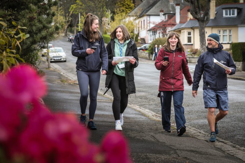
Dundee’s urban areas are also included in the trails, and you can take on one of the ‘postbox challenges’ created by the Dundee Active Schools team in these areas.
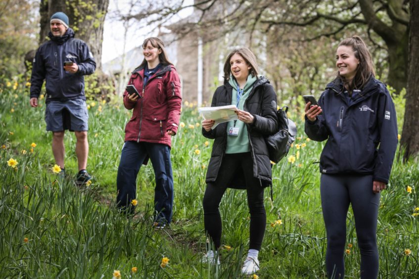
Jillian Walker, who acts as a co-ordinator for Dundee Active Schools, has been involved with creating the orienteering routes across the city.
She said: “Active Schools Dundee reached out to Scottish Orienteering to do a course for our co-ordinators to go on.
“From there we looked at what else we could do and so we are creating ‘postbox challenges’ and matching our parks in the city for families to get active.
“At present we have around 27 routes between the parks, some in the city centre and the postbox challenges which are around the streets in the urban areas.”
The routes for the trails can be accessed through an app called MapRun6, which can be downloaded to your phone.
From there, your phone should beep and the clock start timing once you come within range of the start point.
If you prefer using a paper copy of the map, PDF files can be found on the Dundee Active School’s website.
Clues for the control points on the trails can also be found online.
Jillian explained: “The app uses GPS signal rather than your data, and you can download the map of the route you want to do onto there.
“Essentially you walk around the route you’ve chosen and when you’re within 15 metres of [the control point], it beeps.”
Great fun for families
It’s hoped the trails will encourage people of all ages and abilities to get involved with orienteering and plans are underway for a programme to run during the summer holidays, allowing kids to take on the routes during their time off.
“It’s a great way for families to get out and about and we are hoping to create more though as the interest grows, Jillian said.
“Hopefully the summer weather will be better and we can get out and enjoy the parks and open space we have in Dundee.
“You can walk it, jog it, take your time. Just get out and enjoy it!”
