Glen Tilt, Blair Atholl, Perth & Kinross
Glen Tilt runs more than 20 kilometres from Blair Atholl to the watershed beyond the Tarf Water, slicing through an ever-changing landscape of high mountains and mixed woodland.
The history of the glen is equally long and dramatic. Hundreds of years ago it was heavily populated, but many families were evicted to make way for sheep grazing and deer stalking, and all that remains of those who lived and worked there are the sad, scattered ruins of their homes.
The glen was also the site of a famous dispute in 1847, which became known as the Battle of Glen Tilt and proved to be a catalyst in the struggle for access rights.
A party of botanists led by John Hutton Balfour was attempting to journey through the glen from Braemar to Blair Atholl when it found progress blocked by the Duke of Atholl’s gillies. Balfour had made the trip years before and was sure it was a public right of way. His father’s cousin, the eminent James Hutton, had also studied the geology of the glen without incident more than 50 years earlier.
The Duke and his men refused to budge and there followed a three-hour stand-off in pouring rain before the botanists ended the escalating war of words by jumping over a wall and making a run for it. The dispute gained notoriety and public pressure eventually saw the Duke lose a drawn-out legal fight which helped pave the way for the formation of the Scottish Rights of Way Society.

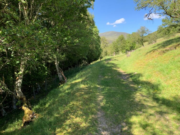
There’s no such problems these days, the track from Old Bridge of Tilt high above the river a familiar artery for those heading for the high mountains further up the glen. If you are looking for a shorter and less strenuous outing, however, there’s a fine loop to be made on the lower ground.
Follow the track north, ignoring any left branches, and cross the Cumhann-leum stone bridge before continuing on to Gilbert’s Bridge. This was built in 1759 for the grand sum of £208 and was originally known as Balvenie Bridge. It was later re-named for William Gilbert, a local hillman whose cottage sat nearby.
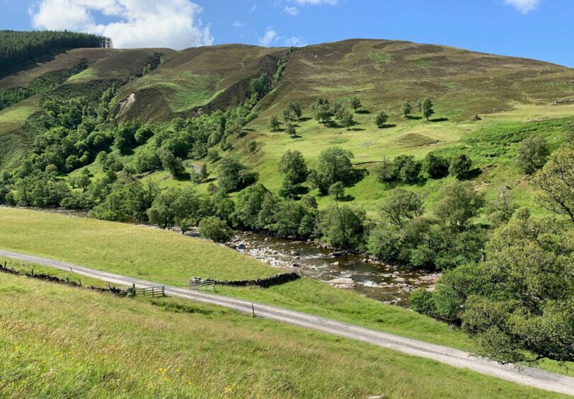
If you have the time and energy, it is worth crossing the bridge and turning right to follow the path beside the river towards lonely Gleann Mhairc, a delightful section which crosses a couple of other small stone bridges and provides spectacular views over deep and narrow rocky glens and tumbling waters.
Our route continues up from Gilbert’s Bridge past the farm at Auchgobhal which at one time was also the site of a school. A little further on, watch for a prominent cairn on the right, which marks the sharp turning point for the walk.
The grassy track now travels south alongside fence-lines with grand views across the deep cut of the glen to plunging slopes and a riot of greenery. It passes through sections of woodland before reaching a high metal gate.

Keep straight on, ignoring the path marked on the maps which branches right. This has fallen into disuse in recent times due to fallen trees and is now wildly overgrown, impassable in places. It’s interesting to note that the information board at the car park no longer includes it as an option.
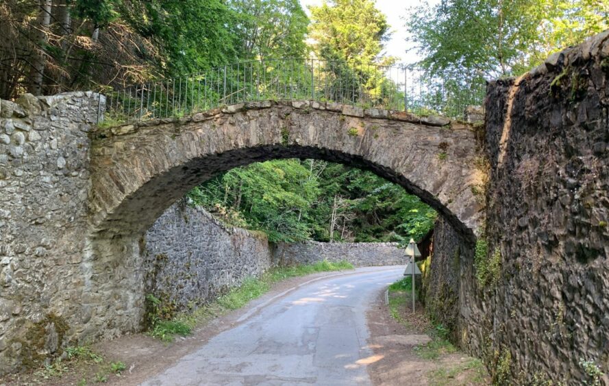
The track emerges from the trees to enter a farm lane which leads to the minor road at Fenderbridge. A right turn downhill takes you past cottages and another right goes under the elegant arched stone bridge and back to the start.
One further gruesome note: downstream from this old bridge is the Witches’ Rock where women found guilty of adultery were tied up in sacks, and thrown into the pool below to drown.

ROUTE
1. Exit car park and go between stone gate posts on track opposite signed for Marble Lodge and Forest Lodge. Follow north through trees above river, ignoring any left-hand branches.
2. After about 2km, track crosses bridge and continues on other side of river. Keep heading north until reaching Gilbert’s Bridge.
3. Stay on right side of river and continue for another kilometre, and just past house (Auchgobhal) watch for cairn on right with yellow arrow indicating sharp turn on to grass track.
4. Head south above fields with elevated views across the glen, passing through wooded section and then opening out again above farm of Croftmore.
5. Beyond farm, track becomes rougher following tree line until reaching high metal gate.
6. Go through and keep on main track through wood. Do not be tempted by woodland path going off right into trees – this has become heavily overgrown and blocked with fallen trees.
7. After passing through another metal gate, stay right on farm lane below Kincraigie to emerge on minor road.
8. Turn right and head downhill to Fenderbridge and then on to junction for Old Bridge of Tilt, turn right and walk under bridge back to car park.
INFORMATION
Distance: 11.5km/7.2miles
Ascent: 390m/1280ft
Time: 3-4 hours
Grading: Scenic low-level loop around River Tilt on estate tracks and grassy paths, suitable for all ages and abilities and perfect for a half-day stroll when weather rules out high tops. Can be muddy in places, sturdy footwear advised. Dogs under close control – farm livestock.
Start/finish: Old Bridge of Tilt car park (Grid ref: NN 874662).
Map: Ordnance Survey 1:50,000 Landranger Map 43 (Braemar & Blair Atholl); Ordnance Survey 1:25,000 Explorer sheet 49.
Tourist Information: VisitScotland, Pitlochry iCentre, 22 Atholl Road, Pitlochry, PH16 5BX (Tel 01796 472215).
Public transport: Regular bus and train services to Blair Atholl.