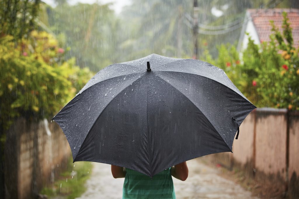
Scotland faces an “early autumn” as four Atlantic storms in two weeks bring floods and 50mph gales.
Two to three inches of rain is forecast across all of Scotland this week.
A 1,200-mile wide storm system will be first to hit, until Wednesday, with Scotland deluged.
The second low pressure zone arrives from Friday to Sunday, bringing more rain.
The third and fourth low pressure systems come in the following week.
However, weathermen said summer “isn’t over”. The Met Office said hotter and drier conditions, with temperatures up to 25C, are expected in the second half of this month.
The Met Office’s contingency forecast shows there is a 60% probability of this month having August’s hottest UK average temperature since 2004’s 16.1C.
Met Office forecaster Mark Wilson said: “There’s potential for high rainfall totals as low pressure dominates the next week across the country.
“We’re closely monitoring further warnings.
“The first low pressure brings heavy showers until Wednesday, heaviest in the North and West, and the next low pressure from Friday brings showers for the weekend.
“Unsettled conditions will probably persist until mid-month.
“After August 17 (there are) signs high pressure could build.
“There is the chance of warmer interludes, perhaps more widely later in the month.”


