Each week, we will take you on a trip back in time with a selection of photographs picked from DC Thomson’s vast archives. This week, the focus is on aerial photographs of Dundee through the decades.
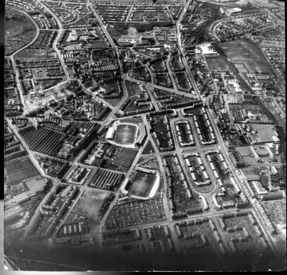
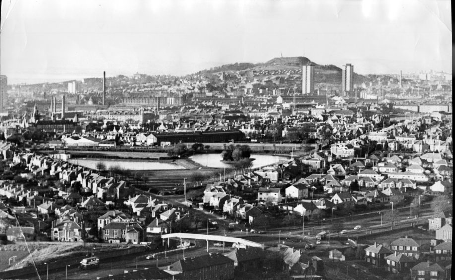
Our first image from 1964 shows Mains Street, Dens Road, Fleming Gardens, Caird Avenue and Clepington Road. Dens Park and Tannadice Park are the closest senior football grounds in the UK and can be found just 200 yards apart.
Our second image from 1975 looks across Stobsmuir Pond, Kingsway and Clepington Road. Multi-storey blocks can now be seen dominating the city’s skyline.
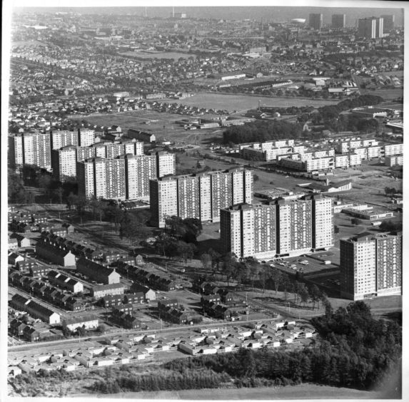
Our third image from 1971 is looking out across the city from Ardler where six 17-storey tower blocks were commissioned by the local council.
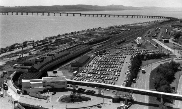
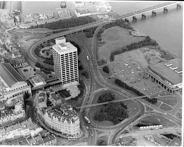
Our fourth image from 1985 features the perennially unpopular Tayside House which was known locally as Fawlty Towers. The region’s administrative hub was a pile of rubble by 2013 as the city brought forward its ambitious £1 billion re-imagining of the central waterfront.
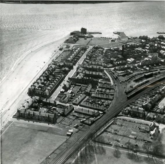
Our fifth image from 1962 was taken after the Dundee Housing Committee agreed to apply demolition orders to 56 houses at Links Cottages, Panmure Street, and East Links Place in Broughty Ferry. In addition closing orders were made in respect of 10 houses at Links Cottages and Brook Street.
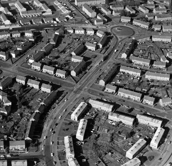
Macalpine Road snakes through St Mary’s, crossing over St Leonard Road before meeting Laird Street at the roundabout in this aerial picture from 1971.
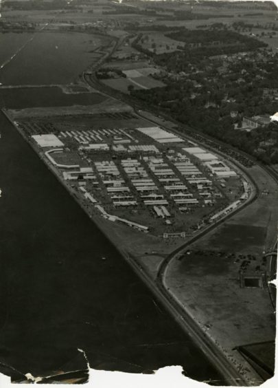
A photograph showing an aerial view of the Riverside area of Dundee, with what appears to be a large event being held on the grass in November 1952.
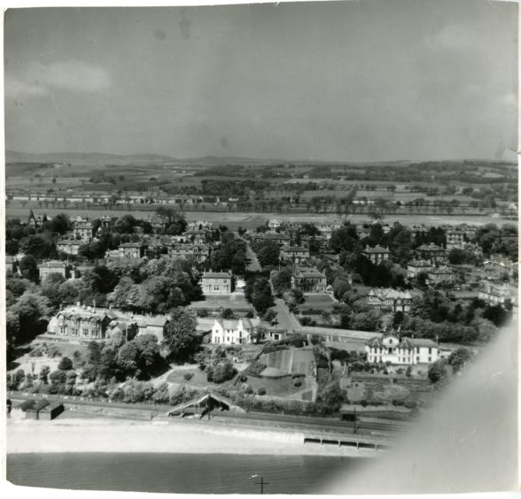
Our final image is an aerial view of the West Ferry area of Dundee in 1954. Ellerslea Road can be seen running north in the centre of the image running up to Albany Road. Claypotts and Douglas can be seen in the distance. Dundee Road can be seen in the foreground running horizontally across the image.
