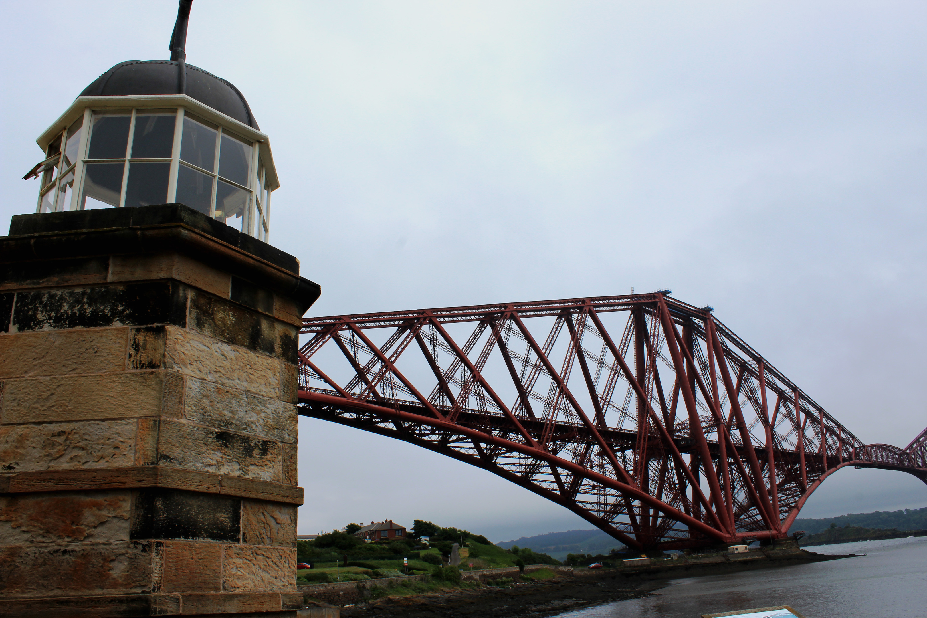
The Forth Rail Bridge is an iconic Scottish landmark, a colossus of Victorian civil engineering, impressive from all angles. I have travelled across the structure, viewing it from the carriage window, and observed it from the neighbouring road bridge.
However, as inspiring as these experiences are, neither really prepared me for the sheer magnitude of the structure when seen from below.
For the residents of North Queensferry, it is a part of everyday life, but for a visitor like myself to this peninsula on the southern fringes of Fife, viewed up close and personal it really is a thing of awe, both in terms of its size and complexity.
More sobering, in the shadow of the most northerly of the three giant cantilevers, a bronze memorial to the men who died building and maintaining the bridge stands at the Battery Road car park, starting point for my walk to Inverkeithing.
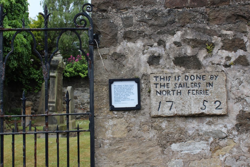
Heading into the village along Battery Road, so called because it served wartime gun batteries that protected shipping on the Forth, I made a couple of wee detours, first to the graveyard of St James’ Chapel and then, from the Albert Hotel, out on to the pier, passing the harbour light tower, constructed in 1817, and the equally historic octagonal Signal House.
Built in 1810 and extended in 1828, the pier handled ferry traffic from across the river before the opening of the road bridge in 1964. It is a great spot to view both the road and railway bridge and the new Queensferry Crossing, taking shape behind its predecessor.
Main Street led me from the pier up to the village war memorial where I joined the Fife Coastal Path, hiking out over cobbles, passing below the slender stone piers of the rail bridge into Carlingnose Point Wildlife Reserve.
This sanctuary for both birds and plant life is dominated by a quarry, rock from which forms the foundations supporting the cantilevers of the rail bridge. During the two world wars, quarrying ceased and coastal defences saw intense military activity here. The skeletal remains of a First World War jetty, where ammunition and supplies were landed. can be spotted offshore.
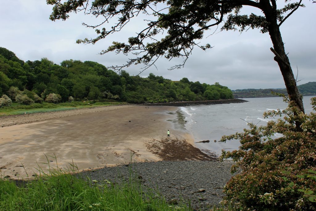
Keep right and the coastal path descends through woodland and scrub to the sandy beach at Port Laing before progressing north on path and track to enter the more industrial landscape of Inverkeithing Bay.
Rounding West Ness, at the entrance to the inlet, the trail is funnelled into a fenced corridor, passing between a metal recycling plant on the waterfront and Cruicks Quarry. Opened in 1828, the stone was used in construction projects ranging from the docks at Leith to the pavements of London. Today the site produces aggregates.
The path leads on to Cruickness Road at the end of which I turned south, ascending Ferryhill Road. Part way up the hill there is a viewing area overlooking Cruicks Quarry.
Unfortunately, gorse obscures the outlook so, entering North Queensferry, I detoured on to the top of Ferry Hills where there is a fine vista over Inverkeithing Bay and along the coast towards distant Largo Law. To the south the girders and towers of all three Forth crossings dominate the skyline.
Ferryhill Road descends into North Queensferry, passing under the railway once again before looping down past Jubilee Well to the war memorial, ending my walk below the mighty rail bridge.
ROUTE
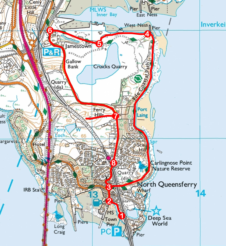
- Turn right out of car park and follow Battery Road to Main Street.
- Go right and follow Main Street north to war memorial.
- Turn right on Fife Coastal Path (FCP), passing under railway and through Carlingnose Point Wildlife Reserve. Continue north on FCP to West Ness Pier.
- Branch right off track, remaining on signed FCP, heading west between fences.
- Continue west on Cruickness Road.
- Turn left and ascend Ferryhill Road.
- Entering North Queensferry, detour right, passing through gate, to ascend track to Ferry Hills viewpoint by Scottish Water compound. Return to Ferryhill Road and continue south into North Queensferry.
- Pass under railway below station and descend Ferryhill Road to war memorial. Retrace steps to car park.
INFORMATION
Distance: 5.5km/3½ miles
Ascent: 110m/360ft
Time: 2 hours
Grading: Easy low level walk following coastal path and pavement with some ascent on the return leg
Start/finish: Battery Road car park, North Queensferry (Grid ref: NT 133803). Car park (free) open 9am to 6.30pm.
Map: Ordnance Survey 1:50,000 Landranger sheet 65; Ordnance Survey 1:25,000 Explorer sheet 367
Tourist Information: Dunfermline Information Centre, High Street, Dunfermline KY12 7DL (Tel 01383 720999)
Public transport: Stagecoach bus service 1A from Dunfermline or Bay Travel bus service 89 from Crossford (Mon-Sat). Arriving by train at North Queensferry Station, start walk at point 8
