Cloan Glen, Auchterarder, Perth & Kinross
The old drovers’ road known as Cadger’s Way runs through the Ochil Hills from Auchterarder to Glendevon, an ancient right of passage vital to the hardy packmen who transported goods and cattle hundreds of years ago.
At its northern end, it passes through the small wooded valley of Cloan Glen which offers a fine, short walking circuit for those brief weather windows during winter days. The six-mile round trip has minimal ascent and shouldn’t take more than a couple of hours.
The route starts from Auchterarder’s High Street, said to be the longest main street in Scotland and giving rise to the ‘lang toun’ nickname. There are plenty of parking options in the town and good public transport links, plus plenty of choice for refreshments.
Head down Abbey Road on the southern side of the main street, following the sign for Auchterarder station, even though the station was closed in 1956 after more than 100 years’ service. Rail travellers are now served by nearby Gleneagles.
Cross the bridge over the Ruthven Water, then another over the A9, before turning right along the minor road which bends round to the left and passes under the railway.
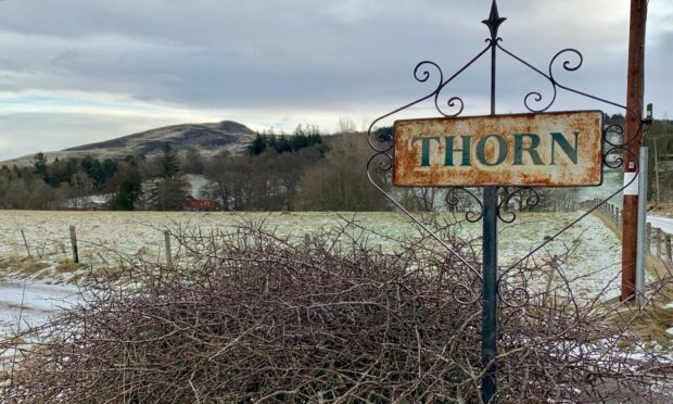
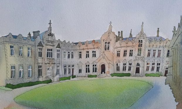
There are fine views of the Craig Rossie hills over open fields to the left before a signpost points the way to Coulshill. Directly ahead, high on the hill, is the imposing pale mansion Cloan House.
The house and estate were the home of the Liberal and later Labour politician Richard Haldane and remain the property of the family. Haldane was Secretary of State for War between 1905 and 1912 and was largely responsible for a series of reforms in the make-up of the British Army. He was also Lord Chancellor from 1912 until 1915 and again from 1924. He died in 1928.
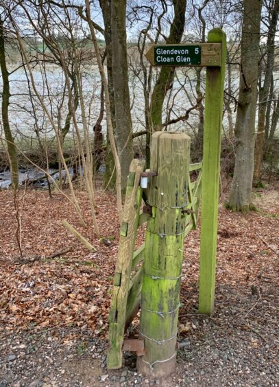
Just before the road swings uphill and the gated entrance to Cloan House, take the track on the right which runs alongside the Cloan Burn through mixed woodland. This a popular local spot for dog walkers and there is also a small parking area a short distance back.
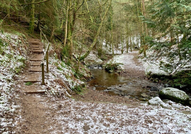
About the halfway mark there’s a double stream crossing which should be no problem in drier conditions, but there are steps to a bypass path to the left which avoids the risk of wet feet, rejoining the main drag beyond a small stone bridge.
As the tree cover starts to thin, there’s a seat with an elevated position for those in need of a break or who just wish to savour the peace and quiet for a few minutes.
Once out of the trees, the Coulshill road is rejoined for a short spell until a signed stile on the right pointing the way back to Auchterarder. The Cadgers’ Way continues straight on, changing from tarmac to rougher track and hill path, eventually splitting for Corb Glen and Borland Glen.
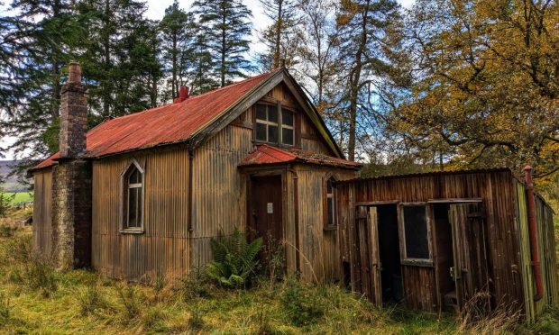
The track beyond the stile is badly churned up and waterlogged – hang on to your boots – before it starts to climb out of the glaur. A tumbled-down building is passed on the way to Bellshill Farm and its free-roaming sheep where a metal gate heads out on to a track.
There’s another direction arrow further down at a crossroads, but while it will eventually lead in a roundabout way to the same destination, it’s simpler to keep going straight downhill to emerge beside the earlier inward junction near the signs for Thorn.
After passing beneath the rail line, head straight downhill rather than follow the curve of the road and follow the track through the trees beside the water to reach an underpass, then walk up Ruthven Street to reach the High Street.
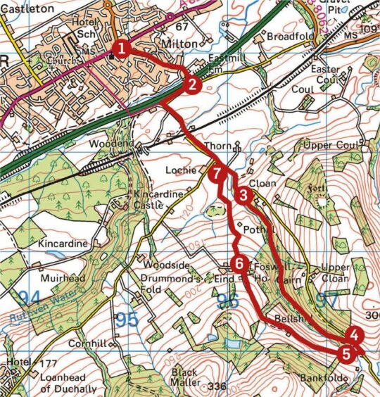
ROUTE
1. Starting from High Street, turn down Abbey Road (sign for Auchterarder Station) heading south-east. Cross bridge over Ruthven Water then A9 and turn right on to minor road.
2. Head uphill to left at next junction to pass under rail bridge. Follow road to left (signed Coulshill) and keep going straight on past sign for Thorn, twisting round towards Cloan House.
3. Just before entrance to Cloan, head right on woodland track (signed) above stream. Follow track through woods, at one point avoiding double stream crossing by wooden steps and path to left which rejoins track beyond and continue to edge of wood ignoring any left turns.
4. After emerging from trees, bend right back on to minor road then double back at signpost for Auchterarder, crossing wooden stile on to muddy track.
5. Pass tumbled down barn, then go through metal gate at Bellshill Farm (arrow marker) and follow track down to crossroads.
6. Ignore arrow pointing left and instead continue downhill to rejoin minor road near Thorn.
7. Retrace steps under rail bridge and down to junction but this time go straight on at sign for Auchterarder and follow round to left to reach underpass. Walk up Ruthven Street to High Street.
INFORMATION
Distance: 10km/6miles
Ascent: 250m/820ft
Time: 2-3 hours
Grading: Short circuit along quiet minor roads, woodland and farmland tracks. Some ascent, but should be fine for most fitness levels. Very muddy in places, good footwear a must. Route passes through farmland, dogs under close control.
Start/finish: Auchterarder High Street (Grid ref: NN 949131).
Map: Ordnance Survey 1:50,000 Landranger Map 58 (Perth & Alloa); Ordnance Survey 1:25,000 Explorer sheet OL47.
Tourist Information: VisitScotland, Perth iCentre, 45 High Street, Perth, PH1 5TJ (Tel 01738 450600).
Public transport: Bus services from Perth and Stirling.





Conversation