No matter the time of year, Stirlingshire is a stunning spot for anyone who wants to step outside and enjoy nature.
Stirling and the surrounding area is home to some of the most beautiful walks in Scotland.
From a stroll in the woods to a hike in the hills, we’ve rounded up some of the best walks near Stirling for budding explorers.
Lace up your walking shoes, grab a waterproof jacket and give one of these remarkable routes a try.
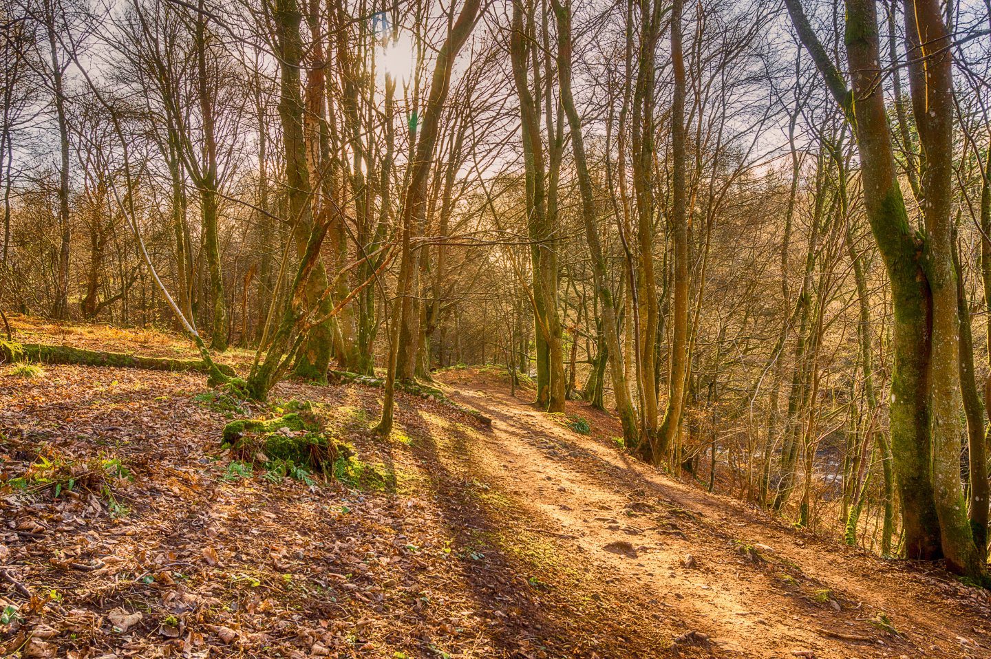
1) Stirling Back Walk and Gowan Hill
If you’re in the city, walking along the Stirling Back Walk to Gowan Hill is the perfect way to spend an afternoon.
Starting from Corn Exchange Road, this route follows the outline of the old city walls.
Along the way, there are lovely wood carvings to be seen, as well as the Old Town Cemetery.
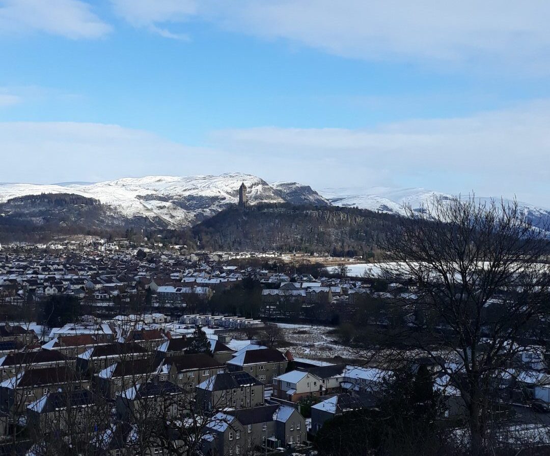
Once you reach Gowan Hill, you’ll see the Beheading Stone and a great view of Stirling from above.
Starting address: Corn Exchange Road, Stirling, FK8 2HX
Getting there: 10-minute walk from Stirling railway and bus stations; limited parking
Estimated walk time: 1.5 hours
Difficulty: Easy
2) Riverside and Cambuskenneth
A wander down Riverside Drive, taking in the calm river, is always a pleasant walk.
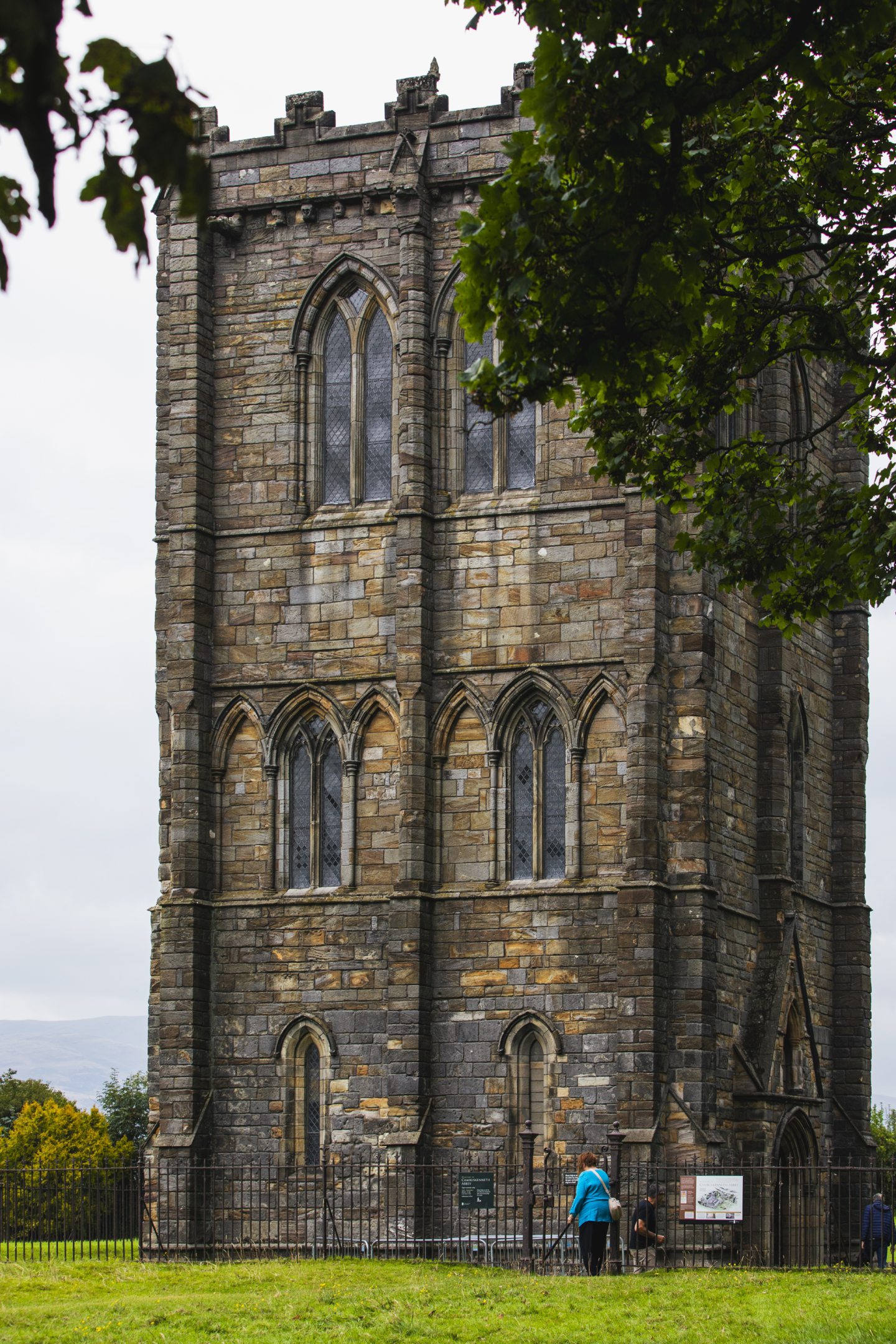
Over the footbridge is Cambuskenneth, a quaint village with flawless gardens and a beautiful abbey.
Cambuskenneth Abbey, one of Stirling’s many historical buildings, is the burial place of James III and Margaret of Denmark.
Starting address: Corner of Riverside Drive and Queenshaugh Drive, Stirling, FK8 1XF
Getting there: 20-minute walk from Stirling railway and bus stations; on-street parking in residential area
Estimated walk time: 40 minutes
Difficulty: Easy
3) Plean Country Park
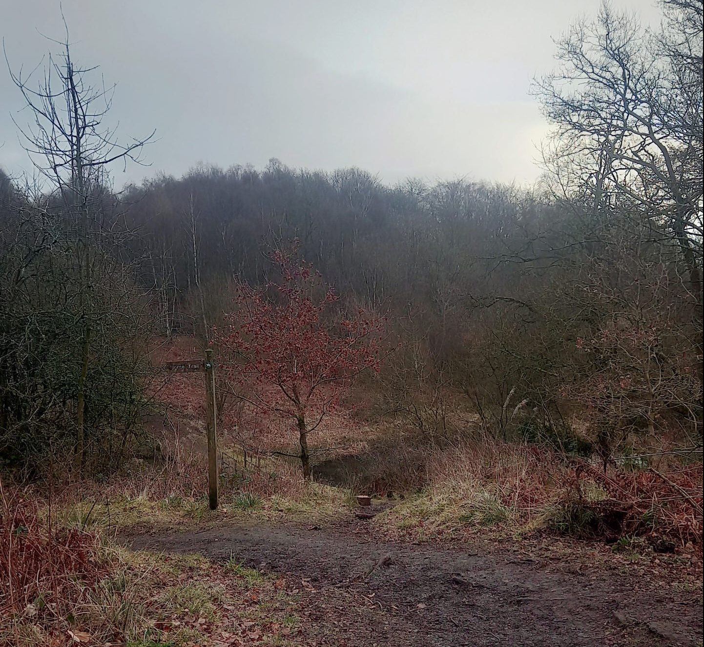
Plean Country Park, located in the former mining village, is fantastic for a leisurely stroll.
A walk around the park is a great one to take the kids on – there’s a play park to keep them entertained and different paths to explore.
Enjoy the forest area or gaze up at the ruins of Plean House.
Starting address: Off Cadger’s Loan, Plean, FK7 8BB
Getting there: 25 minutes on number 38 bus from Stirling bus station, followed by 15-minute walk from Plean village; 15-minute drive from Stirling railway station; ample free on-site parking
Estimated walk time: 45 minutes
Difficulty: Easy
4) Darn Walk
Linking Bridge of Allan and Dunblane, the Darn Walk is… well… a Darn good walk through peaceful woodland.
The route follows the Allan Water river and has links to author Robert Louis Stevenson, who used to walk this way as a child.
It is even thought a small cave on the route inspired Ben Gunn’s cave in Treasure Island.
No matter which direction you walk in, there’s a railway station at each end, so you can jump on a train if you don’t fancy hiking all the way back to the start.
Starting address: Blairforkie Drive, Bridge of Allan, FK9 4PE
Getting there: 15-minute walk from Bridge of Allan railway station; on-street parking in residential area
Estimated walk time: 1.5 hours
Difficulty: Easy
5) Downie’s Loup
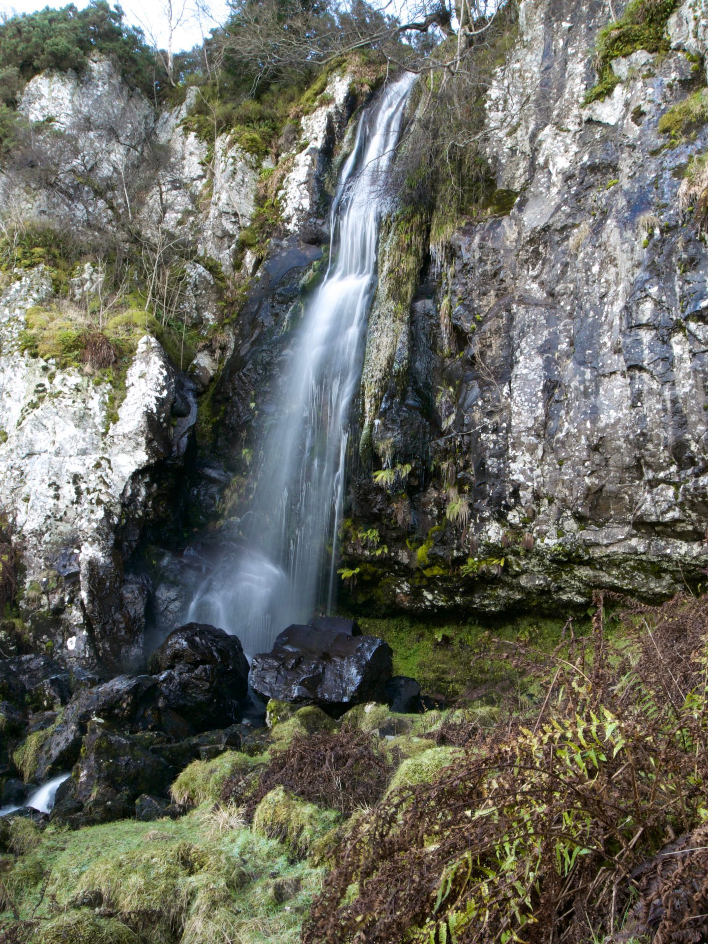
With a breath-taking waterfall at the end, Downie’s Loup is well worth the steep hike up into the Gargunnock Hills.
From Gargunnock, this adventure takes around two hours, there and back.
When you arrive back at the village, why not pop into the Gargunnock Inn for a well-earned pint or a bite to eat?
Starting address: Manse Brae, Gargunnock, FK8 3DG
Getting there: 20 minutes on number X10 bus from Stirling bus station, followed by 10-minute walk from Gargunnock village; 15-minute drive from Stirling railway station; on-street parking in village
Estimated walk time: 1 hour
Difficulty: Easy
6) Doon Hill and Fairy Knowe
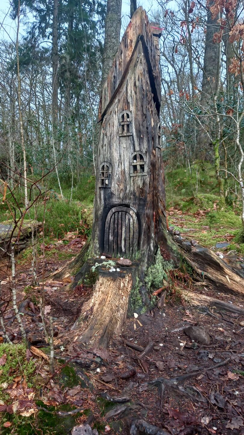
Children and adults alike will be charmed by the magic of Aberfoyle’s Doon Hill and Fairy Knowe walk.
This walk is beautiful during the autumn when the leaves are orange and there’s mist on the hills.
It’s a circular route, with a mystical tree at the top of Doon Hill that is said to be the doorway to a fairy palace.
Starting address: Riverside car park, Aberfoyle, FK8 3UQ
Getting there: Getting there: 55 minutes on number X10A bus from Stirling railway station; 40-minute drive from Stirling railway station; ample free parking at Riverside car park
Estimated walk time: 2 hours
Difficulty: Easy
7) Bracklinn Falls
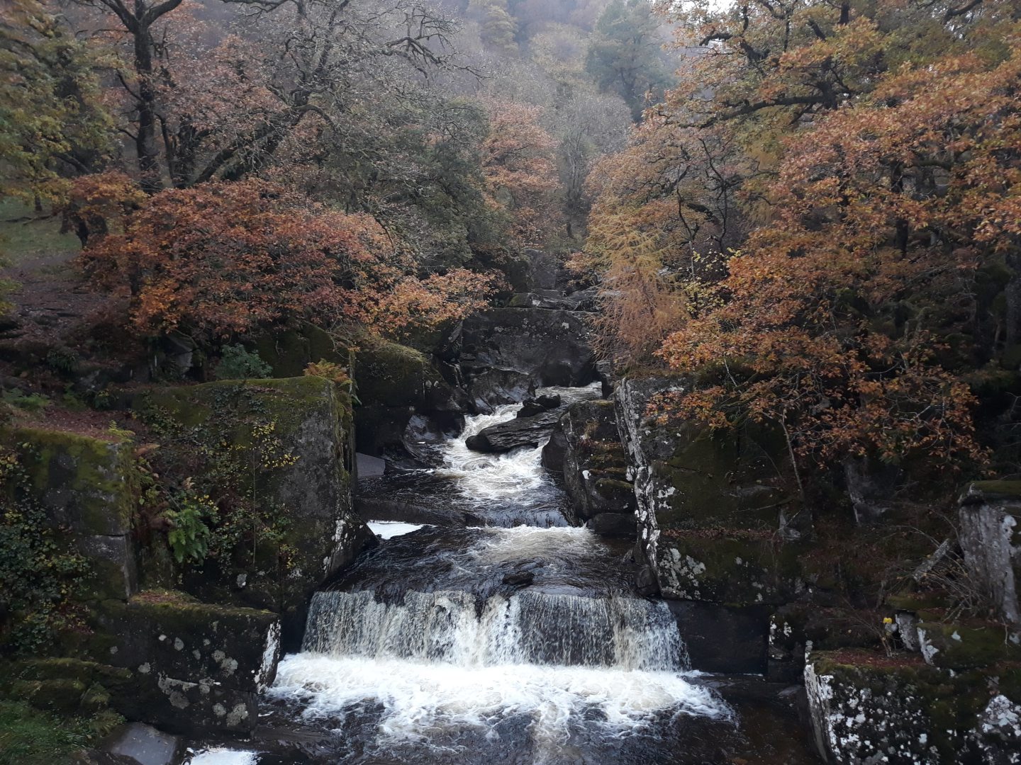
With a designated car park, Bracklinn Falls is a great and convenient spot to visit near Callander.
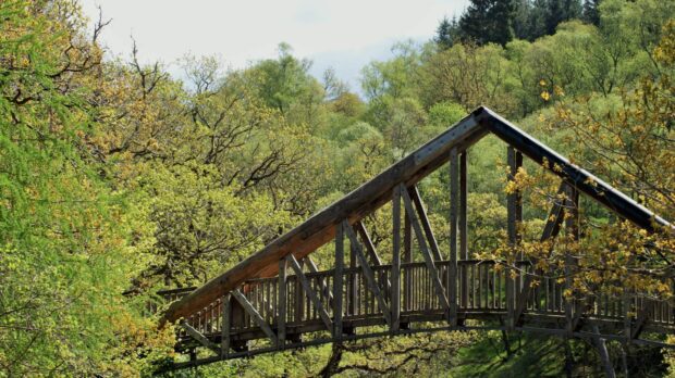
As you near the falls, you’ll hear them thundering below and can enjoy the view from the bridge.
The nearby Callander Crags walk is also worth it for a stunning view of the town.
Starting address: Bracklin Road, Callander, FK17 8EH
Getting there: 50 minutes on number 59 bus from Stirling railway station; 35-minute drive from Stirling railway station; ample free on-site parking
Estimated walk time: 2 hours
Difficulty: Easy
8) North Third Reservoir
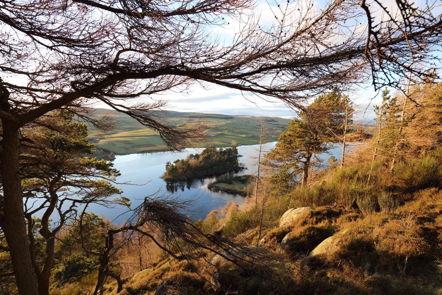
North Third Reservoir is on the outskirts of Stirling. It was built in 1911 and once delivered over nine million litres of water per day to the surrounding area, but is no longer in use.
This walk around the reservoir’s edge has towering hills, lovely forestry and is where you can see the famous Bannock Burn.
On a good day, the Ben Ledi, Stùc a’Chròin and Ben Vorlich mountains are all visible from this gorgeous spot.
Starting address: North Third, FK7 9QS
Getting there: No public transport options; 20-minute drive from Stirling railway station; no on-site parking
Estimated walk time: 2 hours
Difficulty: Moderate
9) Doune Castle and River Teith
For a short walk, Doune is a nice location to explore.
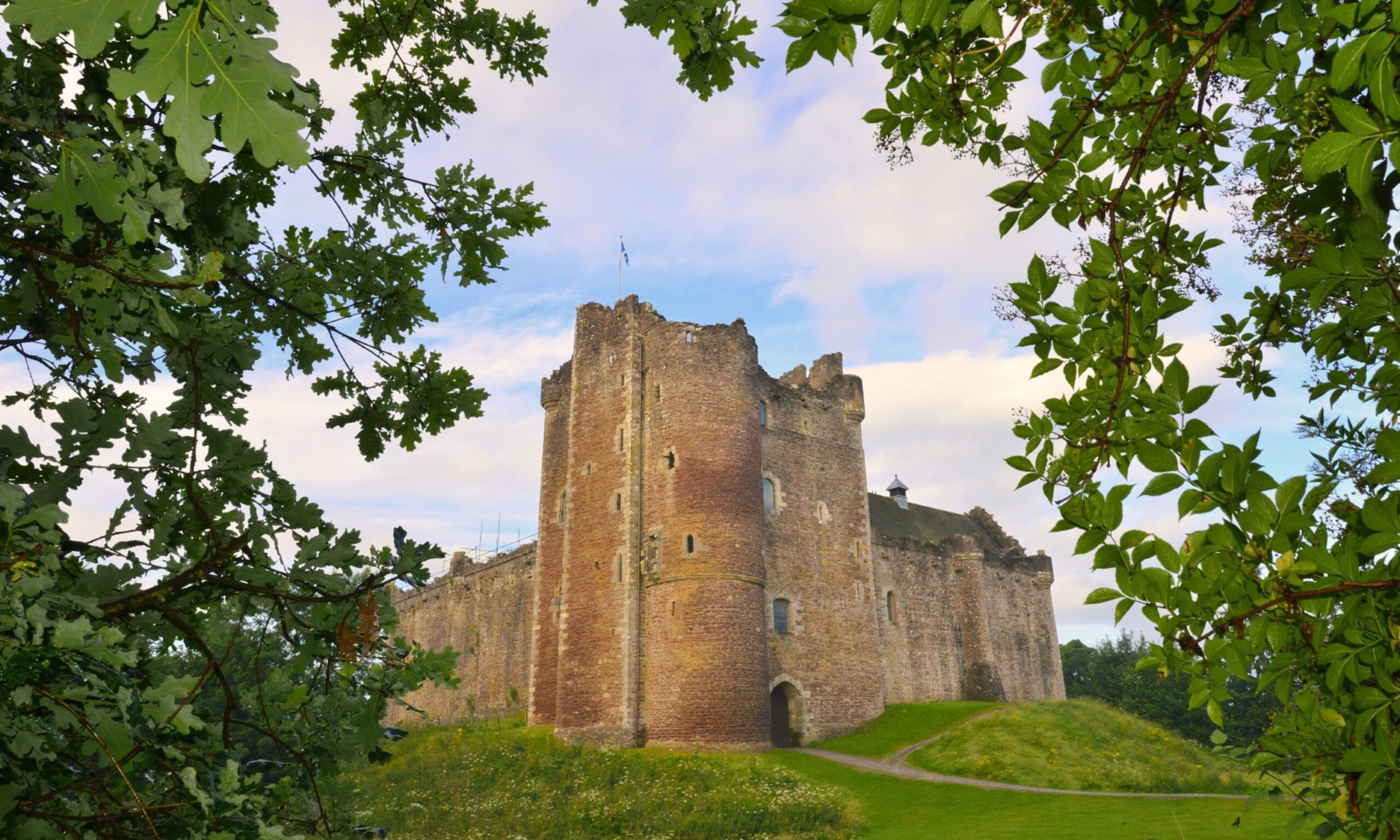
After an amble around the village, follow the River Teith and head towards Doune Castle, which has featured in Outlander and Game of Thrones.
There’s also a blackthorn hedge tunnel on the route.
Starting address: 61-63 Balkerach Street, Doune, FK16 6DF
Getting there: 35 minutes on number 59 bus from Stirling railway station; 20-minute drive from Stirling railway station; on-street parking in town
Estimated walk time: 1 hour
Difficulty: Easy
10) Dumyat
For a hill walk, Dumyat is the perfect place to start.
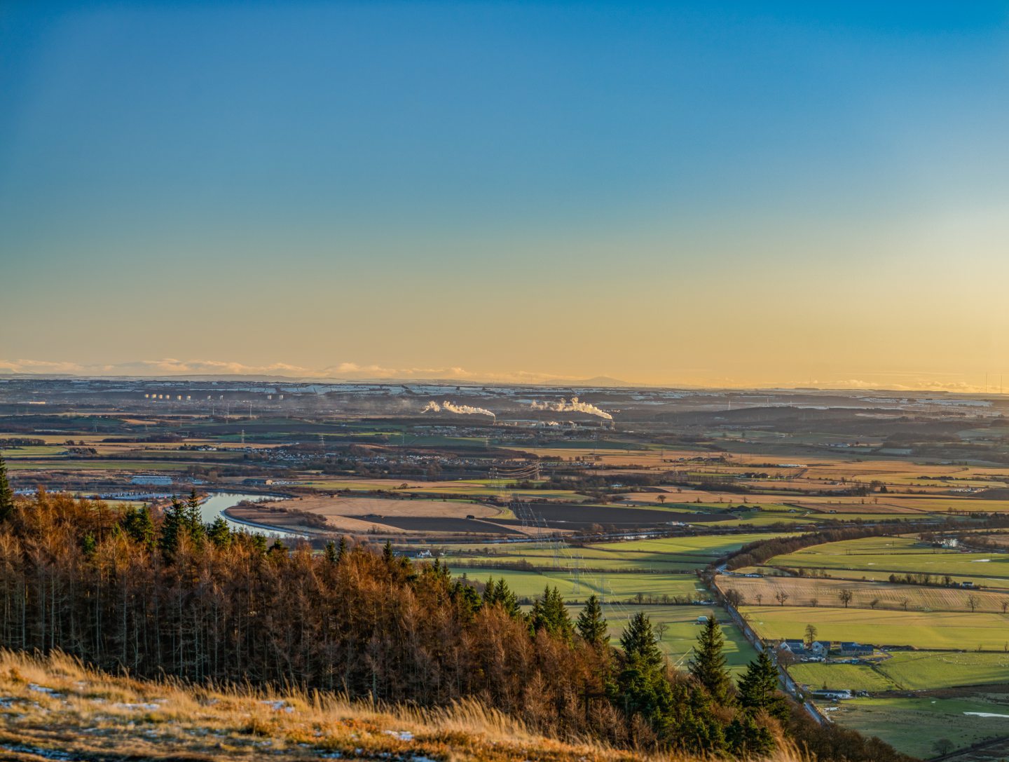
The 418m-tall Ochil Hill boats a beautiful view of Stirling and has two summits to conquer: Castle Law and Dumyat.
With signposted paths, you can concentrate on the stunning surroundings without having to worry about finding your way.
Starting address: Dumyat car park, Stirling, FK9 5PX
Getting there: No public transport options; 15-minute drive from Stirling railway station; on-site parking
Estimated walk time: 3 hours
Difficulty: Moderate
11) Killin Heritage Trail
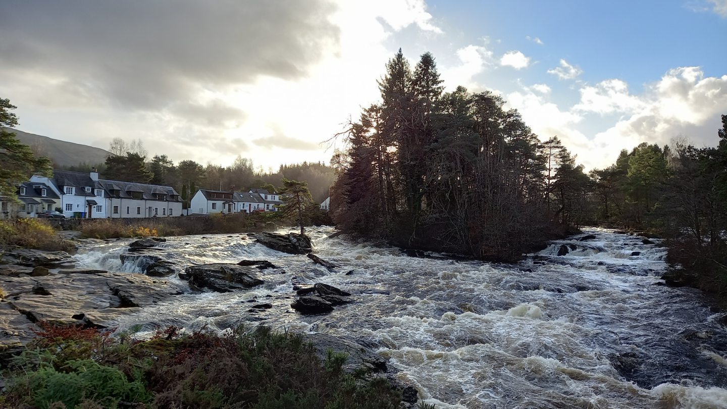
While the Falls of Dochart attract hundreds of tourists, Killin also has a wonderful heritage trail.
Make sure to check out the mill with its restored water wheel, Fingal’s Stone, the Parish Church of Killin and Ardeonaig, and the ruins of Finlarig Castle.
This short walk takes up to an hour and is suitable for all.
Starting address: Main Street, Killin, FK21 8XE
Getting there: No public transport options; 1 hour and 10-minute drive from Stirling railway station; on-street parking in town
Estimated walk time: 1 hour
Difficulty: Easy
12) King’s Park and the King’s Knot
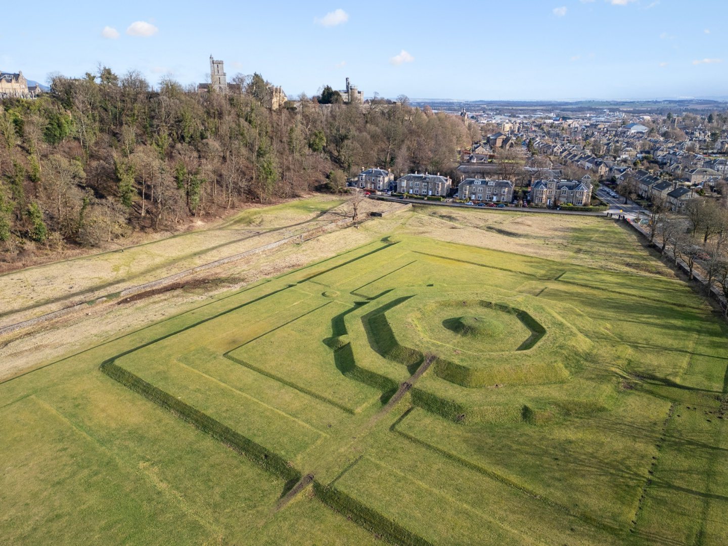
Another city centre spot, King’s Park is a lovely green space to walk around.
A short stroll away, past some stunning houses, sits the King’s and Queen’s Knots, a feature of the ancient King’s Park where royalty jousted, hawked and hunted.
These mounds were once part of the Stirling Castle grounds, which still towers above them today.
Starting address: King’s Park Road, Stirling, FK8 2FA
Getting there: 20-minute walk from Stirling railway and bus stations; on-street parking
Estimated walk time: 30 minutes
Difficulty: Easy
For more Stirling news and features visit our page or join us on Facebook







Conversation