A Bridge of Allan local claims Stirling’s proposed flood protection scheme does not address key problem areas.
Ronald Don says his formal objection to the plan was unfairly rejected by the council.
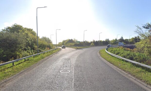
Mr Don’s letter highlighted that the planned new flood defences, running down Allanvale Road and onto the upper part of Cornton Road, did not reach the spot most at risk of flooding, according to Scottish Environment Protection Agency (SEPA) maps.
He said Stirling Council refused to consider his objection because he had not explicitly stated that his property could be directly affected by floods, even though his address appeared on the correspondence.
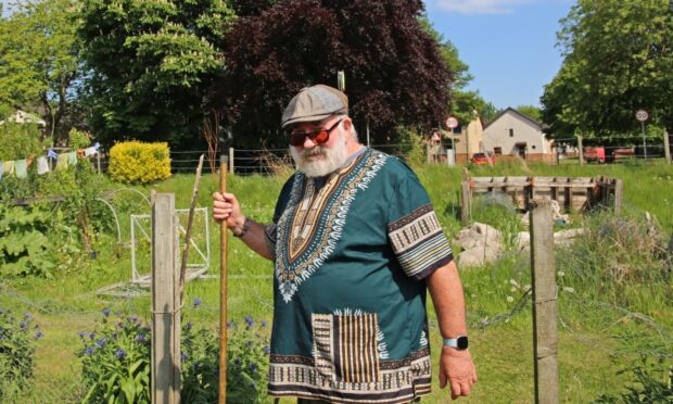
The 74-year-old has lived in the Cornton Road area of Bridge of Allan, close to the fire station, for his whole life.
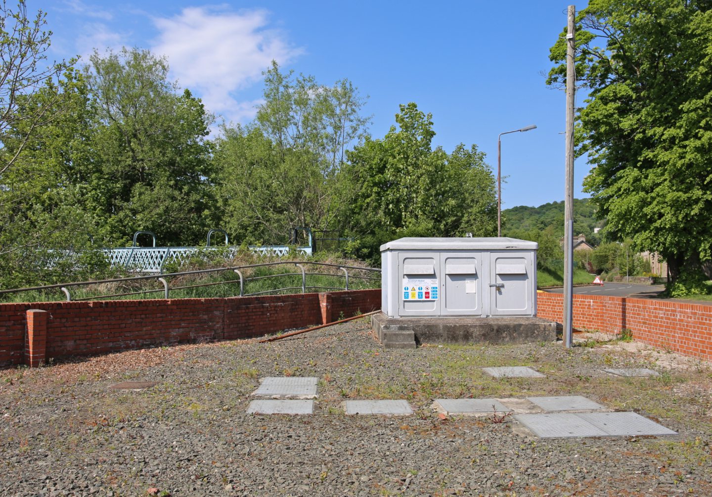
Mr Don told The Courier Allanvale Road has only flooded badly once, in 2023, due to a lack of maintenance, including uncleared leaves blocking drains and the pump system located by the fire station not being used.
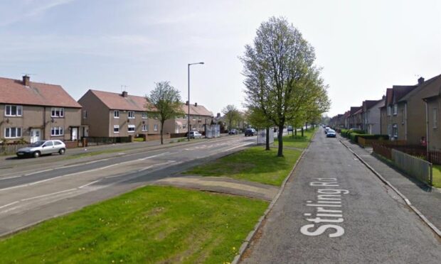
He said: “The area of the Cornton Road that does flood is the area between Orchard Road and Pullar Avenue.
“That regularly floods and stops the traffic.
“And the flood defence scheme is doing nothing about that at all.”
He added: “There is no one I know that’s in favour of what they’re proposing.”
Centenary Walk path making flooding worse
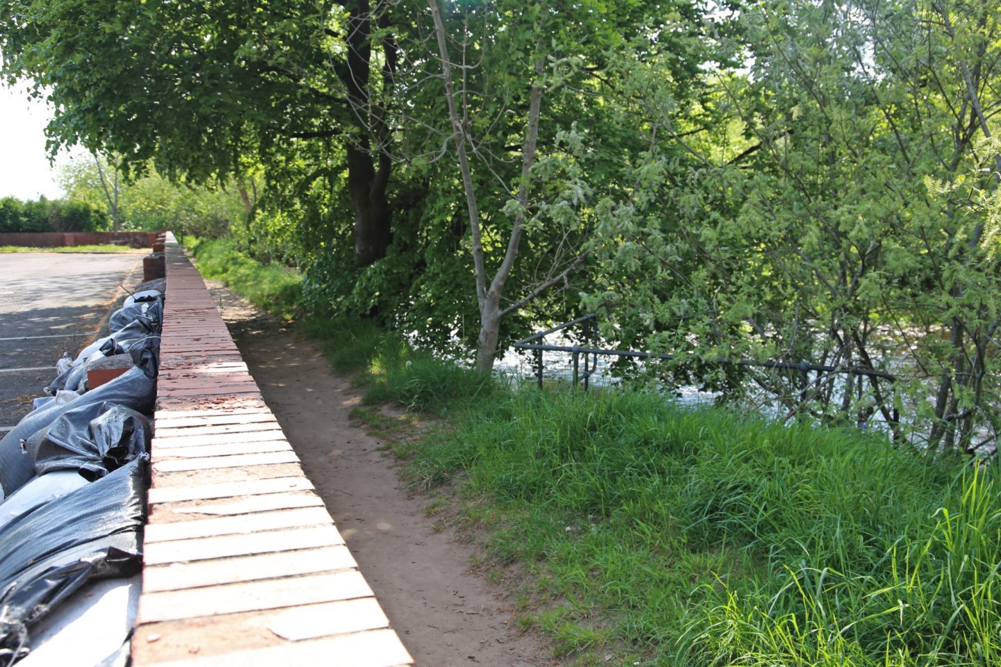
According to Mr Don, the river path known as the Centenary Walk is a huge part of the flooding problem.
He claims the path, originally built by the former Bridge of Allan Council, has not been properly maintained since Stirling Council took over in 1975.
Now sitting lower than the riverbank, Mr Don says the path acts as a corridor when the Allan Water river level is high, allowing water to flow along it to the nearby allotments and football field next to Cornton Road.
And, further up the river, he says an island formed due to sediment build-up is acting as a dam, pushing water that should be flowing away onto the land.
Stirling Council’s proposal for the new flood defences involves raising the level of Cornton Road next to Bridge of Allan’s allotments.
“That’s actually going to make it worse down at the Pullar Avenue/Orchard Road end, and it will flood the pumping station,” said Mr Don.
“And then that will allow raw sewage into the flood water, and that will travel onto the recreational land.
“And they’ve never considered that.”
‘There are much cheaper solutions’
Mr Don argues there are solutions “much cheaper than £16 million”.
“If they cleared the drains, had a maintenance budget, and then had a system whereby the pumps went on automatically if the river was at a certain level, then that would solve the problem,” he said.
“The flood prevention team have never visited Bridge of Allan when there is a flooding incident.
“They didn’t know about the water flowing [along the Centenary Walk].
“We had to send them videos and pictures, because they didn’t know.
“And then they said they would put it into their model.”
Worries over mature trees
An imposing copper beech tree stands opposite Bridge of Allan’s allotments.
Mr Don remembers it being planted in the 1960s, when he was a boy.
He says the current flood protection scheme plans involve chopping it down, along with the other mature trees flanking it.
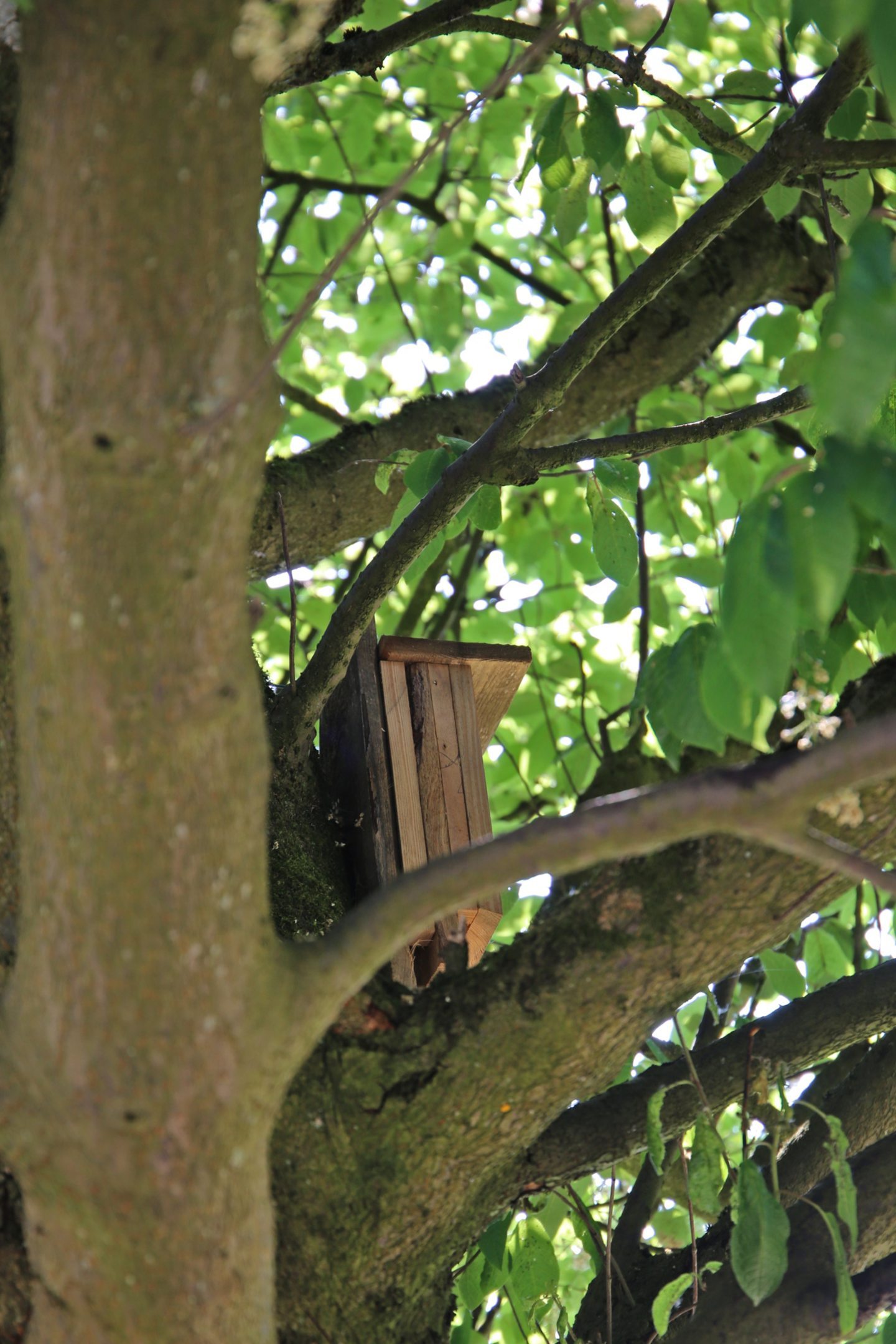
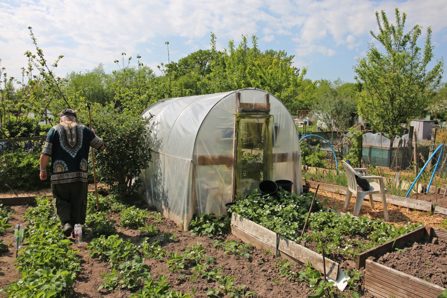
Mr Don and his fellow allotmenteers have affixed bat boxes to the trees on the other side of the road, planted on the allotment land itself, in an attempt to save them.
But construction will impact the allotments, as the council will need to use some of the space there while carrying out the work.
According to Stirling Council, 25 objections to the flood protection scheme plans were received.
Seven were considered valid, while 18 “did not meet the legal requirements” and were rejected.
One last-minute objection threw a spanner in the works last month, meaning the procurement process could still go ahead, but the specifics of the scheme are not yet officially signed off.
A Stirling Council spokesperson said: “The development of the Bridge of Allan flood protection scheme has followed the approach set out in the Scottish Government Flood Protection Appraisal Guidance.
“Extensive consultation with the community has taken place during the various stages of the scheme’s development, including the identification of long list options and the shortlist.
“Detailed analysis also took place on each of the shortlisted proposals across a range of key criteria in the production of the appraisal report that identified the preferred option (2B).
“This option was selected as it best achieved the project aims and represented best value for this substantial investment.
“All objections received have been reviewed in line with relevant legislation.
“The decision to reject late objections is subject to a reasonableness test, and in this instance the council was not satisfied that this threshold had been met.
“There are no grounds of appeal against the council’s decision.
“Further engagement with residents and businesses will take place before construction starts.”
For more Stirling news and features visit our page or join us on Facebook


Conversation