More details have emerged on plans to ban driving on streets around some Dundee schools at the start and end of the day.
Dundee City Council already prevents motorists from using streets surrounding three city schools.
The measure came into force at Fintry Primary School last year, with similar restrictions in place at Forthill Primary School in Broughty Ferry and St Mary’s Primary School in Lochee since 2013.
The council has now confirmed full plans to extend the scheme to Downfield Primary, St Andrew’s Primary, Craigiebarns Primary, North East Campus (St Francis and Longhaugh primaries) and Coldside Campus (Rosebank and Our Lady’s primaries).
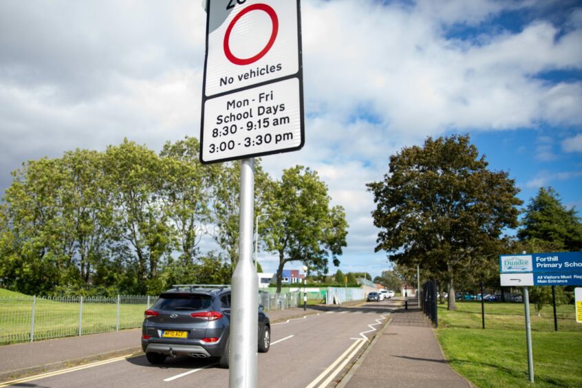
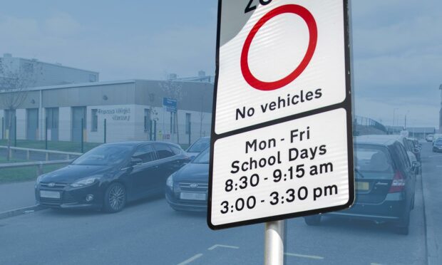
If approved by councillors next week, it will prevent people – except residents, those offering specialist school transport and emergency vehicles – from using streets around these schools between 8.30am and 9.15am, and 3pm and 3.30pm, each weekday.
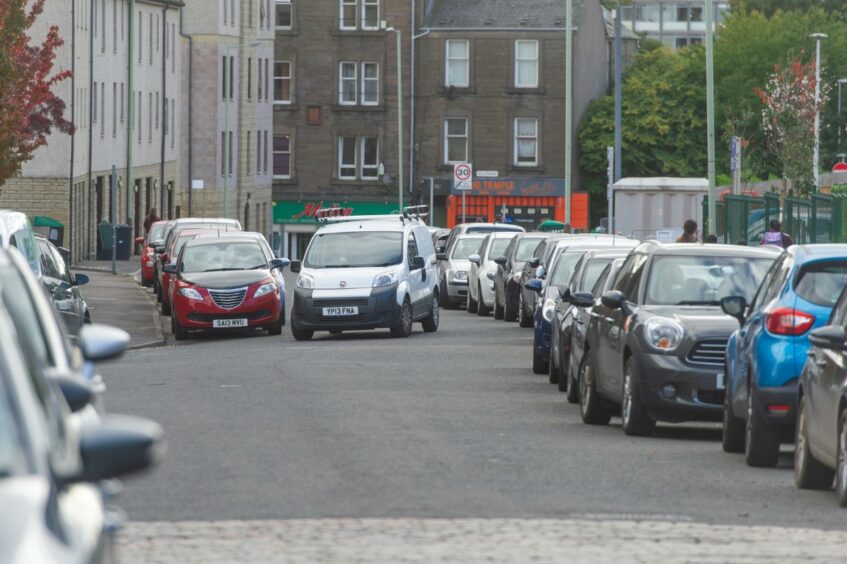
Some main roads including Lothian Crescent in Whitfield and Ann Street in the Hilltown could be covered by the ban, in a bid to promote active travel and safety.
Mark Flynn convener of the city development committee, said: “With Fintry PS coming on stream last year, adding to two previously long-standing schemes elsewhere in the city, we are keen to build on that success.
“Even with that progress we still have more car journeys around schools than the Scottish average, but consulting on the next group of schools on the scheme’s implementation will help to change attitudes, the physical environment and other activity.
“The Safer Schools Streets initiative is firmly aimed at reducing congestion, improving road safety and having a positive impact on air quality.”
Residents will be issued with permits without charge, with enforcement by police for motorists who break the rules.
What streets will be affected?
The streets that are affected around each school are as follows:
Downfield Primary School
Haldane Street, Haldane Terrace, Haldane Crescent and Haldane Place.
St Andrew’s Primary School
St Mary’s Road, St Leonard Road, St Leonard Terrace, St Leonard Way and St Leonard Place.
Craigiebarns Primary School
Brington Road, Brington Place, Scotston Gardens, Dalcraig Crescent, Craigiebarn Road and Gardyne Place.
North East Campus (St Francis and Longhaugh Primary Schools)
Lothian Crescent.
Coldside Campus (Rosebank and Our Lady’s Primary Schools)
Ann Street, Whistlers Way, Nelson Street, Annan Terrace and Kidd Street. However, those living on Forebank Road, Bonnybank Road, Forebank Street, Forebank Terrace, Powrie Place, Eadies Road and sections of Victoria Road will also be eligible for permits.
Driving ban could cover nine more schools
Meanwhile it has been confirmed that yet more schools could be added to the scheme in the future.
The council says early discussions have taken place around introducing the driving ban on streets surrounding:
- Ardler & St Fergus Primary Schools
- Barnhill Primary School
- Claypotts Castle Primary School
- Clepington Primary School
- Craigowl Primary School
- Eastern Primary School
- Mill of Mains Primary School
- St Ninian’s Primary School
- St Pius Primary School
Further consultations are to be held with the head teachers of the schools to identify the areas covered by the restriction zones, with a report set to go before councillors at a later date.